displaying 1000 results
Team at University of South Carolina Uses Collector for ArcGIS to Assess When, Where Smoking Happens

The White House and US Congress are using ArcGIS Online and Esri Story Map apps to better inform decision-making &communicate more effectively.

Collecting, Tabulating, and Disseminating Georeferenced Field Observations

Esri is actively recruiting smart people with all levels of experience who get the job done. These positions represent openings at our...
Oakland, California, lies directly across the bay from San Francisco. During the California Gold Rush in the mid-18th century, it served as the…
Esri Press supports the global community with publications that advance geographic understanding, literacy, and learning in all endeavors.
Where are the wild places, the land least disturbed by people? Questions like this can be answered by using data...
Donegal County Council Publishes Esri Story Map to Inspire Irish Émigrés to Return Home
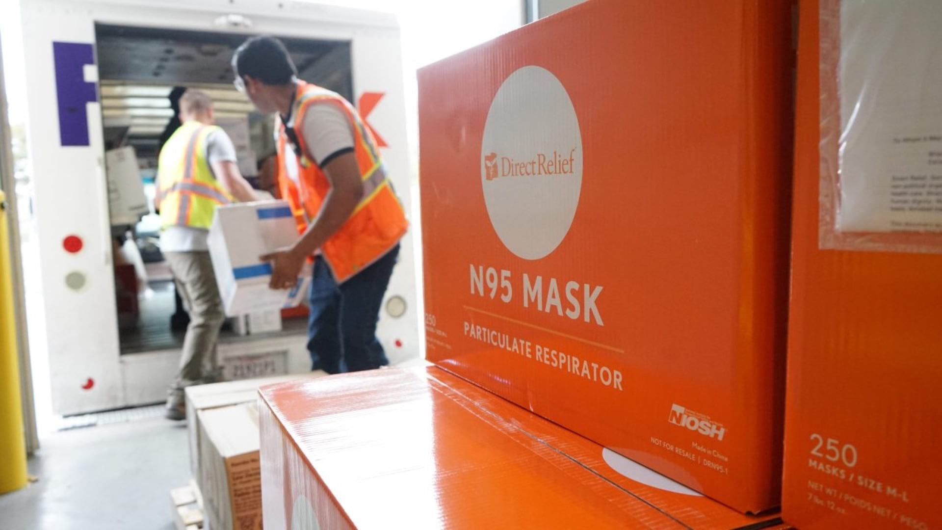
Direct Relief uses GIS to create distribution maps to solve medical supply chain problems in times of crisis.
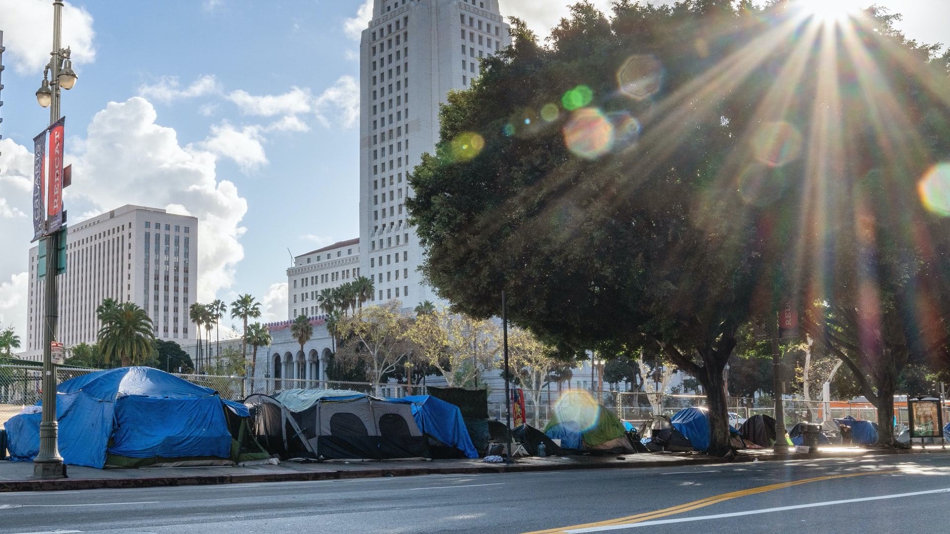
Cities and agencies use location intelligence to reveal the needs of our most vulnerable populations, and to deliver services where needed.

Presentations at Esri User Conference show how users are creating a better world with GIS.

Robust field descriptions save time and ensure accuracy for anyone using datasets for analysis.