displaying 294 results

Researchers at University of California, Irvine created a high-resolution flood model that spurred Los Angeles County to examine inequities.
Reflections of the role of geography and GIS in data science.
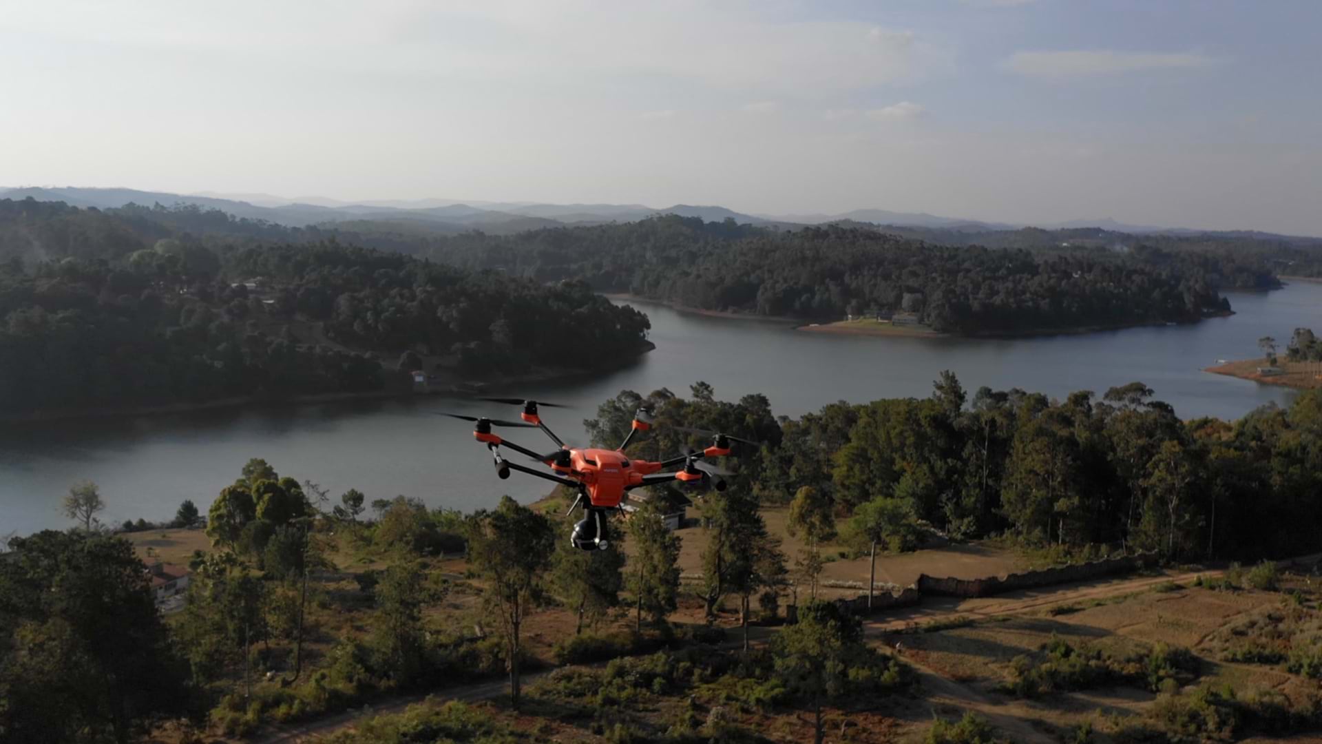
The World Food Program’s drone support in Mozambique helped build self-sufficient in-country capacity for disaster response and preparedness.
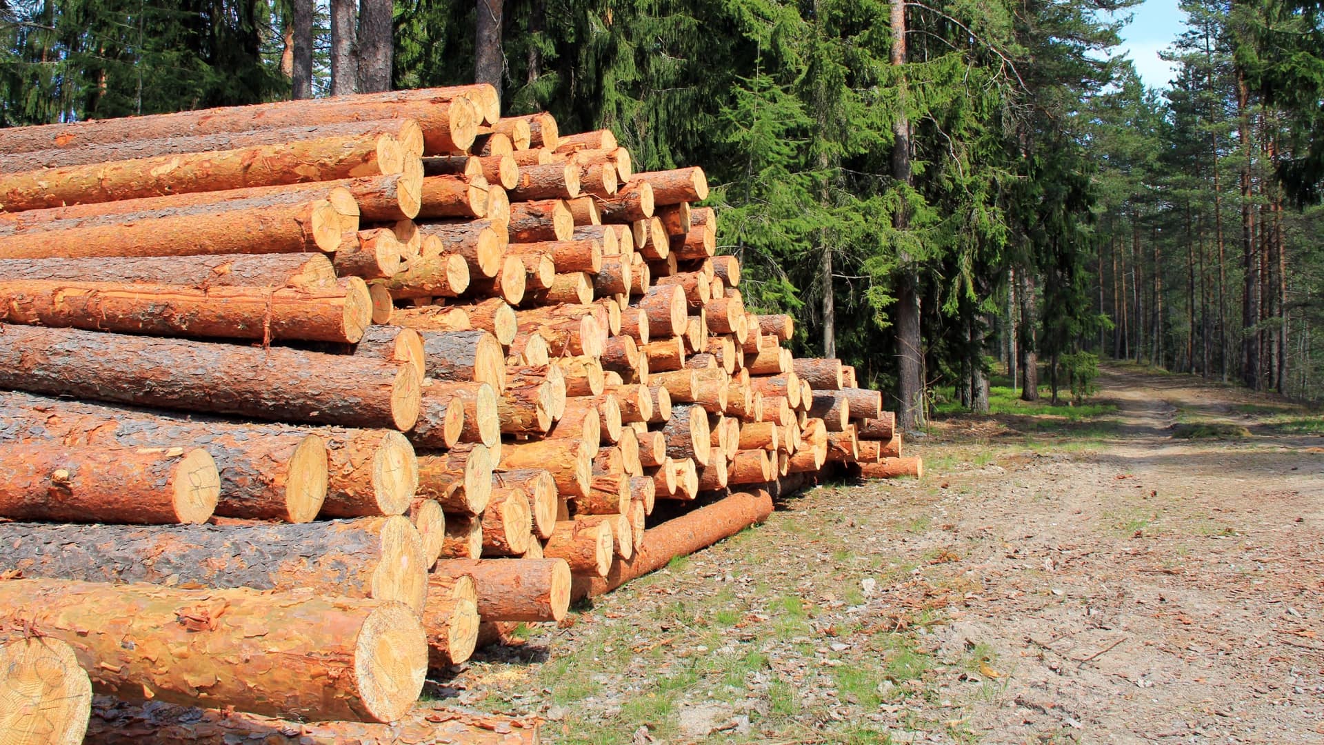
Culp Lumber made the shift from desktop GIS to online GIS to achieve efficiency gains in the forest.

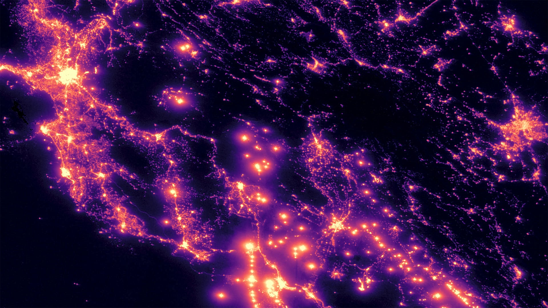
Territorial Empathy uses smart maps to point the way toward social justice and a deeper understanding of others.
Biodiversity, United Nations' Global Data Hub, GISCorps, Artificial Intelligence

Kuwait is heavily investing in GIS implementation with an emphasis on building national GIS expertise.

When the Atlanta Braves take the field, the Cobb County police force deploys GIS-based location intelligence and AI to keep fans happy and safe.

LinkedIn adds a way to calculate the commute to a potential job, delivering instant location information to job seekers.

An early love of the sciences led Breece Robertson to a GIS career and to the creation of ParkScore, a database that scores US park systems.
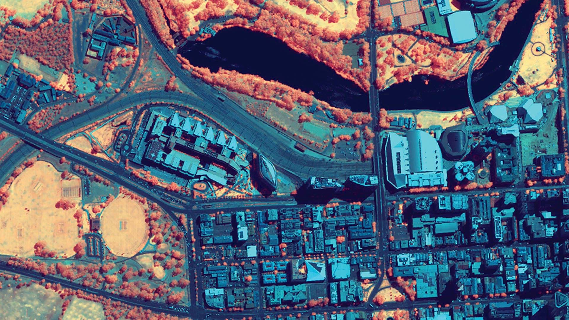
ArcGIS Image provides flexible data management, extensive sensor support, imagery processing and analysis capabilities, and secure sharing.