displaying 410 results

To better identify sections that need maintenance or could become commerce choke points, Esri partner SymGEO implemented ArcGIS Dashboards.
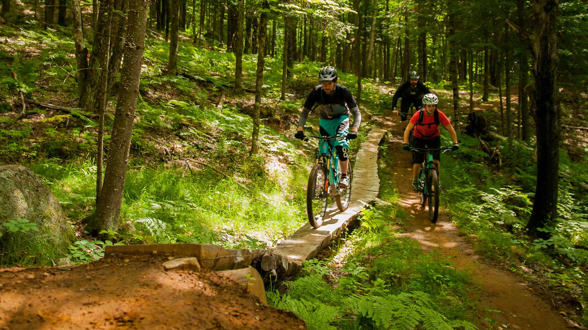
A cycling organization accurately maps mountain biking trails in Québec, Canada, using ArcGIS QuickCapture and high-accuracy GNSS receivers.
NatureServe recently released its Map of Biodiversity Importance, accessible via ArcGIS Living Atlas of the World.
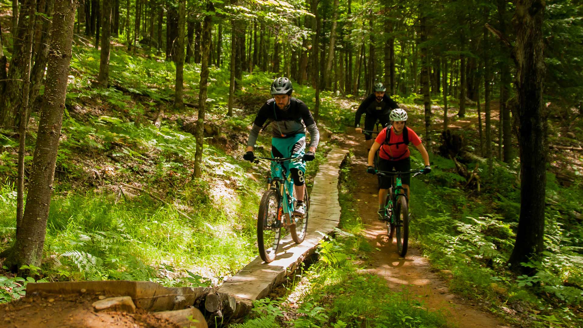
A cycling organization in Québec, Canada, maps mountain bike trails using ArcGIS QuickCapture and GNSS receivers from Eos Positioning Systems.

The 2020 Geodesign Summit, which will be held February 24-27, in Redlands, California, will showcase interesting geodesign projects.
Anita Palmer is a pioneer in GIS education. And when it comes to teaching novices, she has a knack for bringing the technology to life.
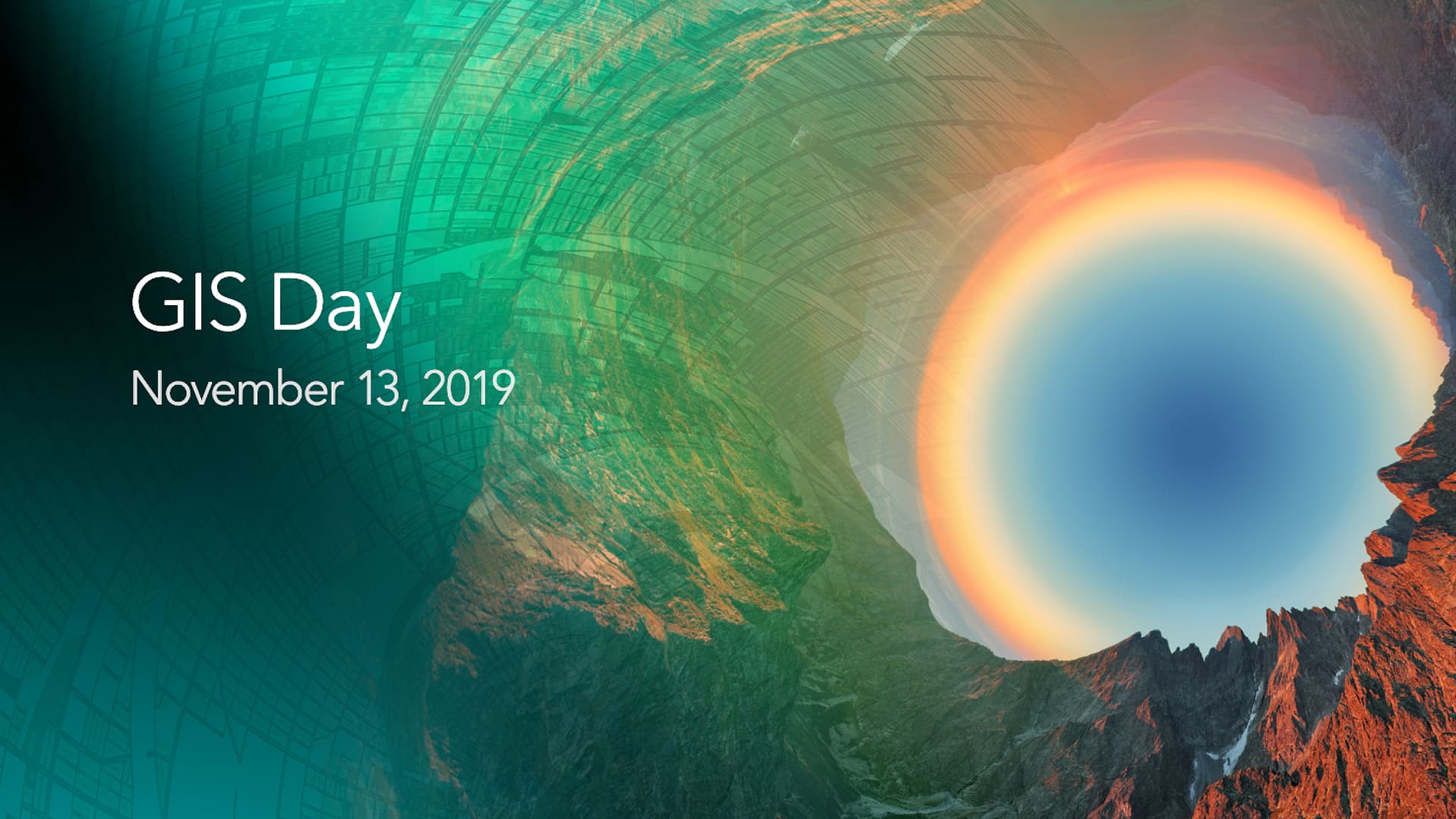
Where will you be and what will you be doing on November 13? If you are a GIS professional or just love mapping, consider hosting a GIS Day.

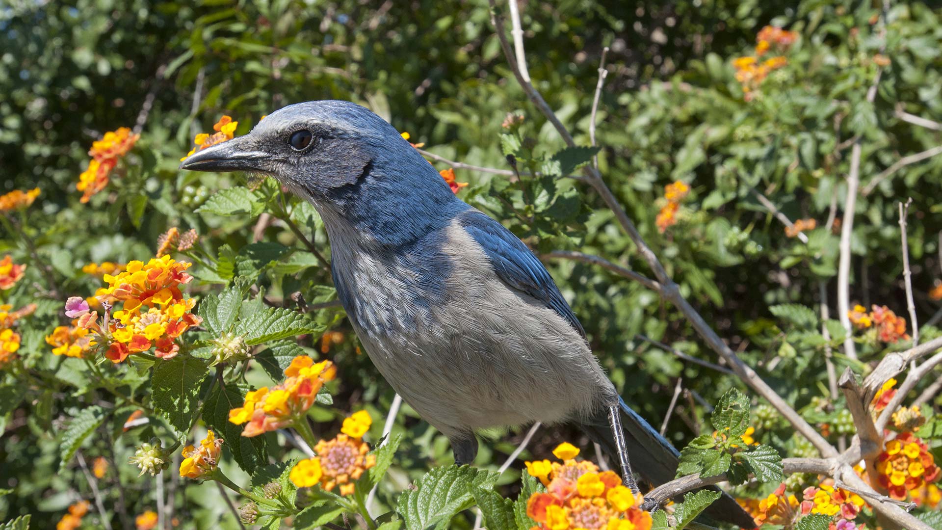
Biologist Edward O. Wilson, long focused on ants, is helping lead an effort to protect biodiversity worldwide through the Half-Earth Project.

Green infrastructure and network mapping are the focus of two new books published by Esri Press.

What does it mean to be data driven? How can an organization build a culture that’s galvanized by data?
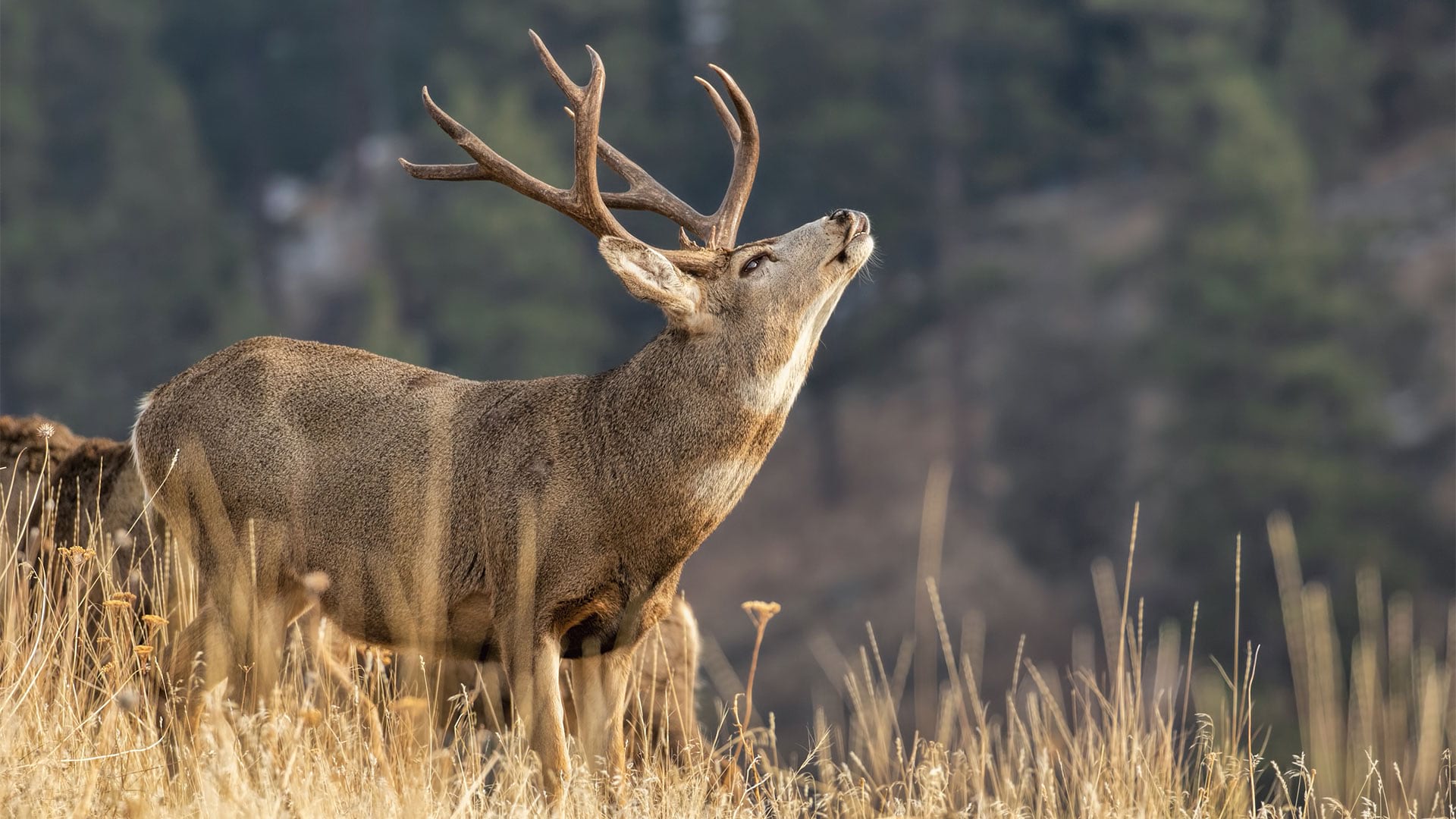
To help save priority North American species and their habitats, an online land-use planning solution got upgraded to an open data website.
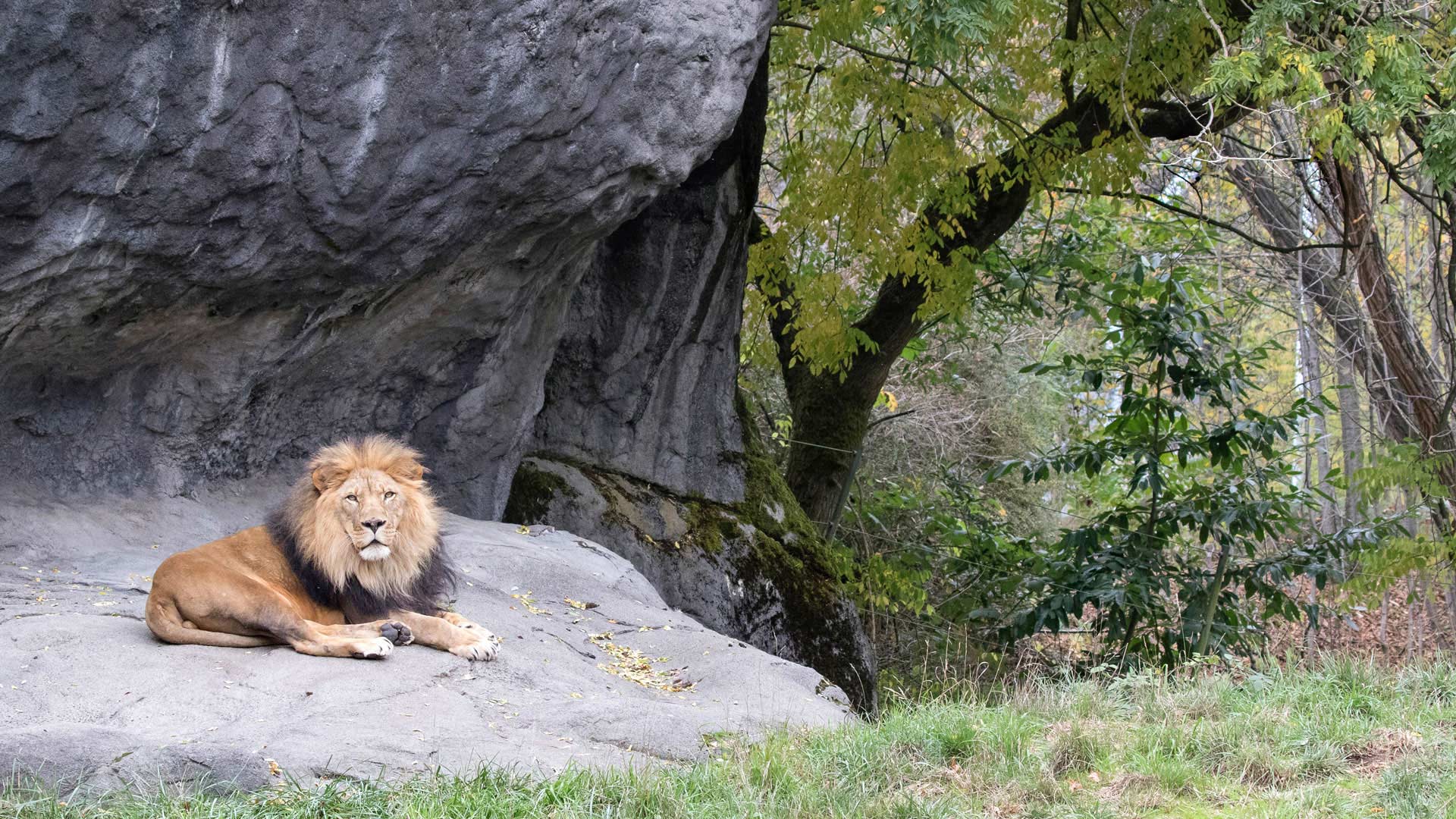
Every time Woodland Park Zoo changes an exhibit, infrastructure gets moved. The lead gardener decided to keep better track of that with GIS.