displaying 263 results

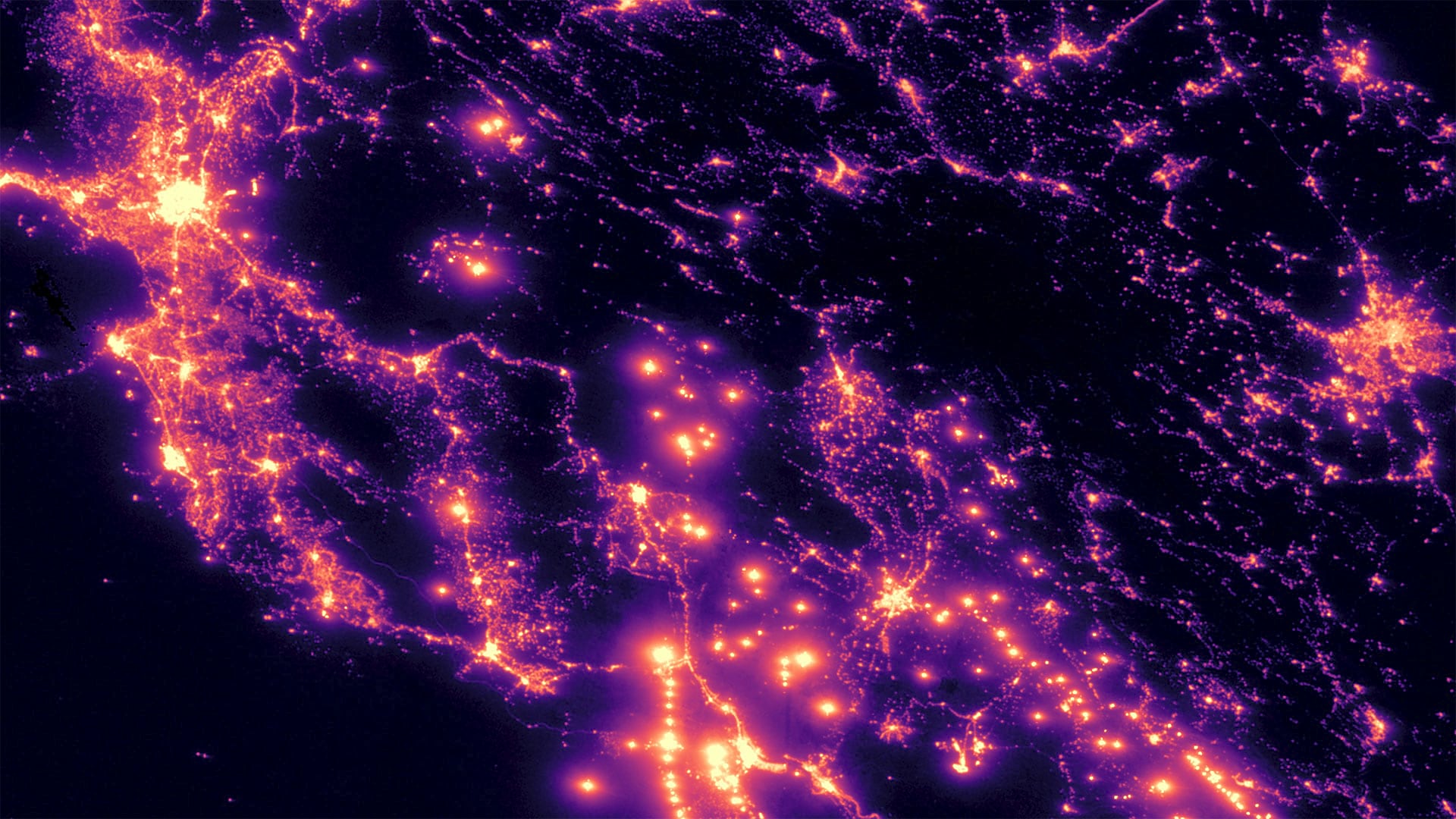
GIS provides ways to mitigate climate change challenges that provide reasons for hope.
Reflections of the role of geography and GIS in data science.

A new microcredential program offered by Monroe Community College (MCC) enhances students’ skill sets with specialized geospatial training.
FEMA Administrator Deanne Criswell urged GIS professionals help build a more resilient world at Esri User Conference.
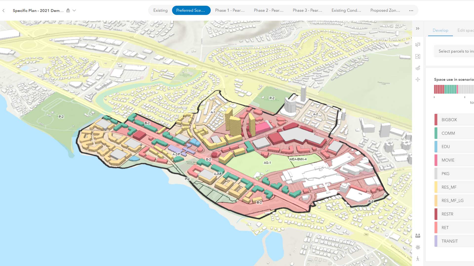
The emergence of web-based GIS has evolved the role of planners.
Thematic Mapping: 101 Inspiring Ways to Visualise Empirical Data; Valuing Place and Purpose: GIS for Land Administration

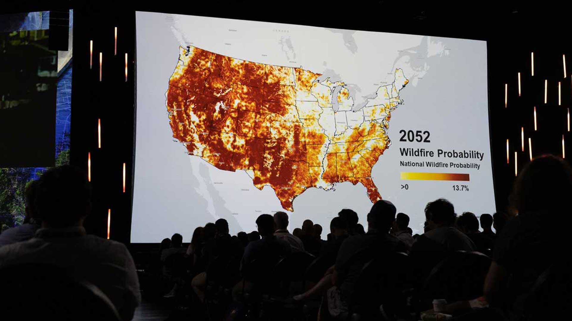
Loss of biodiversity is the other great and interrelated challenge of our era that is often overlooked.

National Geospatial Data Assets (NGDA) and Infutor geocoding now available in ArcGIS to improve geographic knowledge.

Table of Contents | Geography and GI are both predicated on discovering connections in space and time to better understand of our world.

The real-time data sharing, analysis, visualization, and planning capabilities will be key to equitable and speedy vaccine distribution.

Esri is refocusing the conversation around smart from vague promises to a specific geospatial strategy that can deliver the results.