displaying 47 results
The Utah Department of Transportation uses the UPLAN portal it created in ArcGIS Online to share and work with maps.
Web GIS is the best way for sharing maps with people in your organization who are eager to use them, whether or not they know anything about GIS.
Esri location analytics combines business analytics and geography to provide enterprise mapping visualization, information enrichment, and advan…

The police department in St. Petersburg, Florida, has modernized and improved its policing methods using the ArcGIS platform.


ArcGIS Online now has five new User Types, which match user characteristics with GIS capabilities and apps. Which User Type are you?
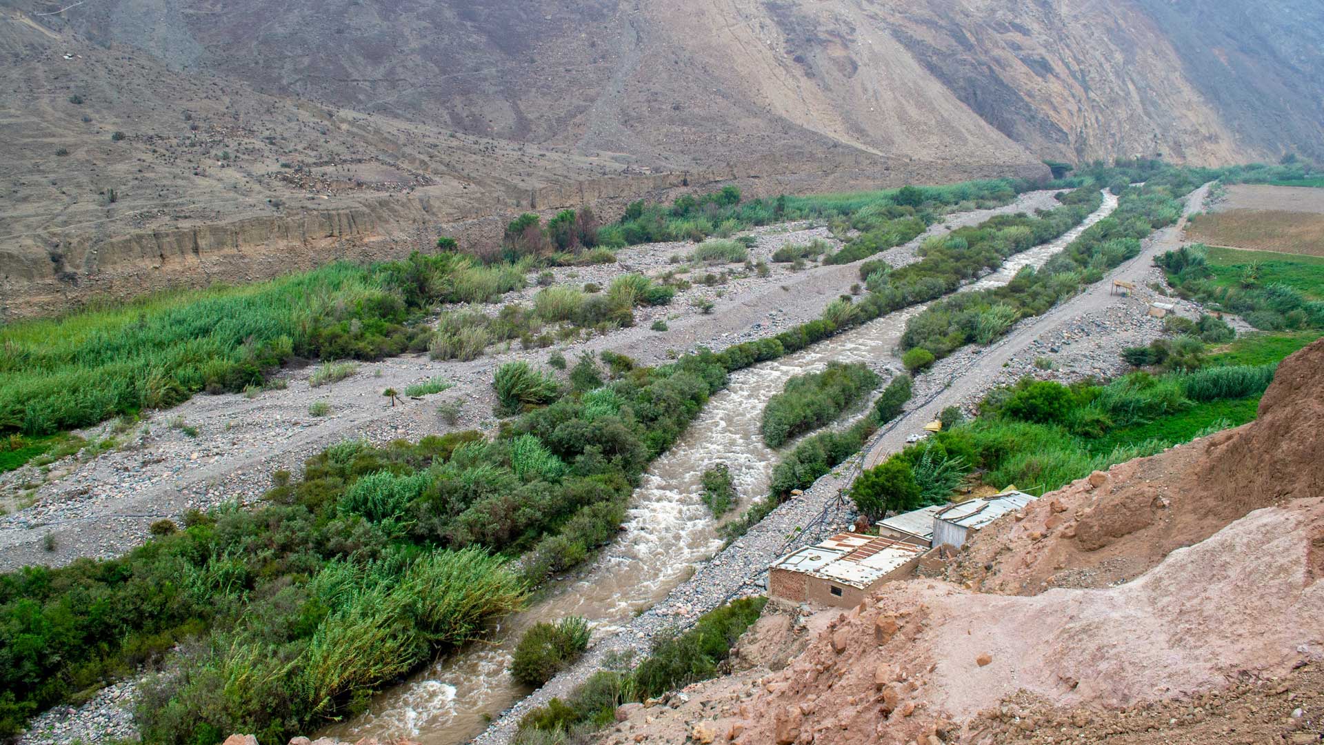
GIS-based 3D models are helping the Peruvian government rebuild public infrastructure after widespread flooding and plan for the future.

Named user credentials give you a unique, secure identity on the ArcGIS platform.
Read how some major organizations, that presented at the Esri User Conference, use GIS in a big way.
Esri has relationships with more than 1,800 partners globally. These companies provide customer-focused geoenabled solutions.

Named User levels in ArcGIS Online were transformed into User Types that tailer access to the needs of different users.