displaying 888 results
Assistance from external, experienced professionals will increase the likelihood of success, minimize risk, and reduce the project timeline.
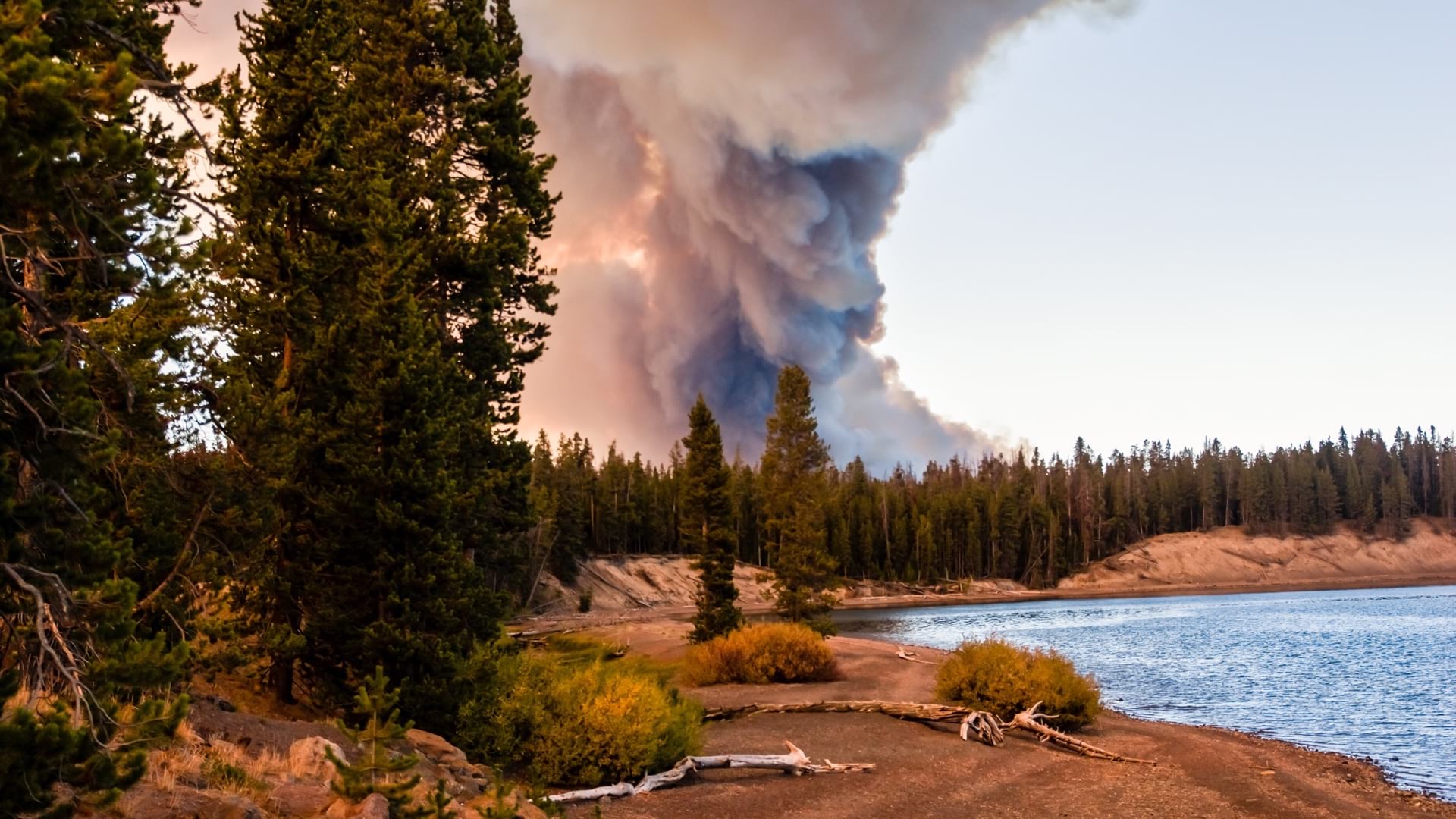
Federal firefighters, responsible for addressing wildfire on nearly one-fifth of the nation’s land, use smart maps to coordinate actions.

Maps and data science are making it possible to address a homeownership gap that leaves more people of color living in rented housing.
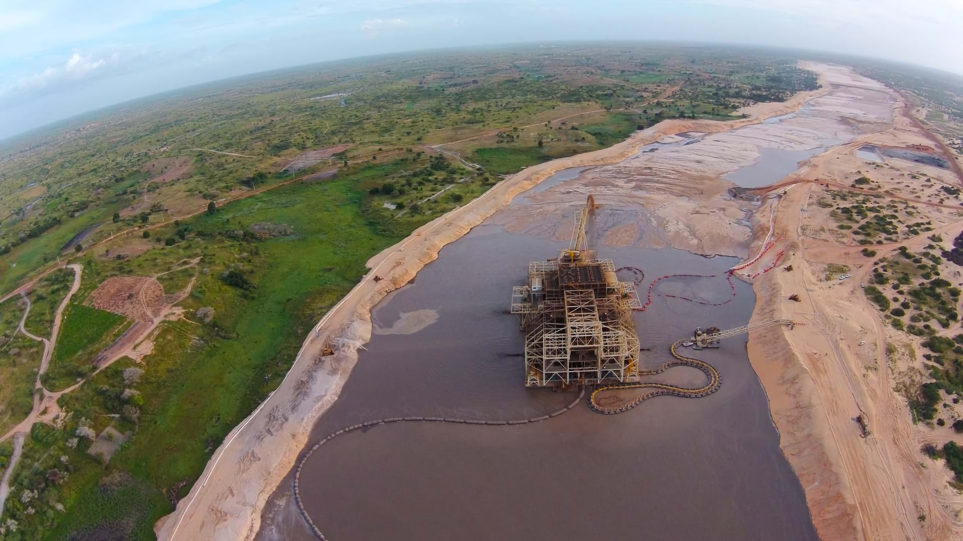
Eramet has embraced GIS as an enterprise tool to monitor environmental impacts and achieve EU-level regulatory compliance worldwide.
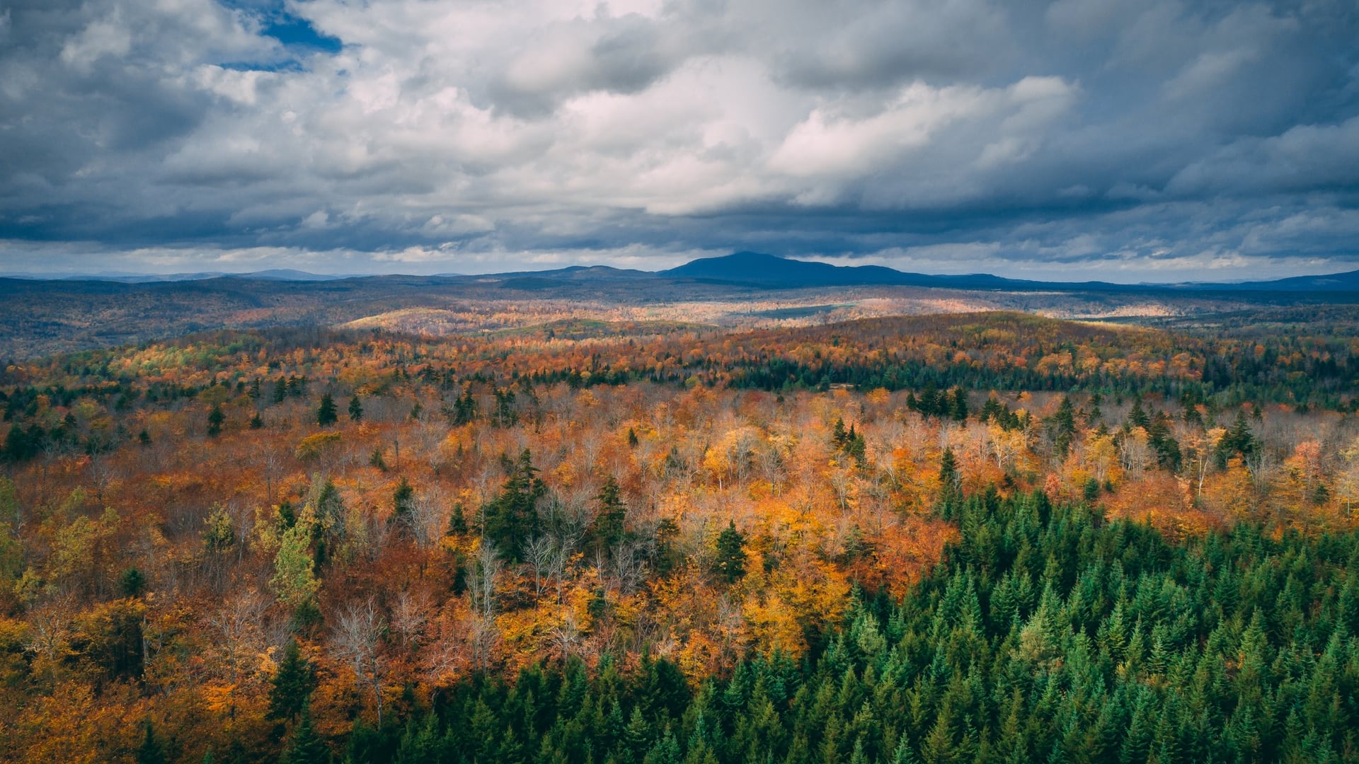
Seven Islands Land Company makes use of real-time maps to guide operations and sustain ecosystems in the country’s largest conservation easement.
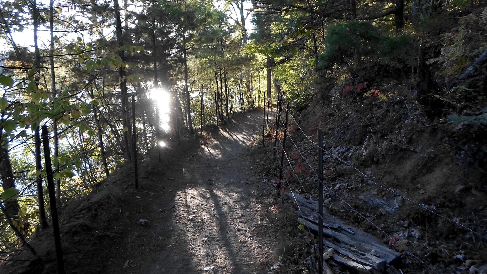
Visitors to northern Massachusetts can use the new GreenbeltGo app to explore and navigate the natural wonders of this historic area.

Snohomish County, Washington has established a pattern of outreach and data gathering to meet the needs of its most vulnerable populations.
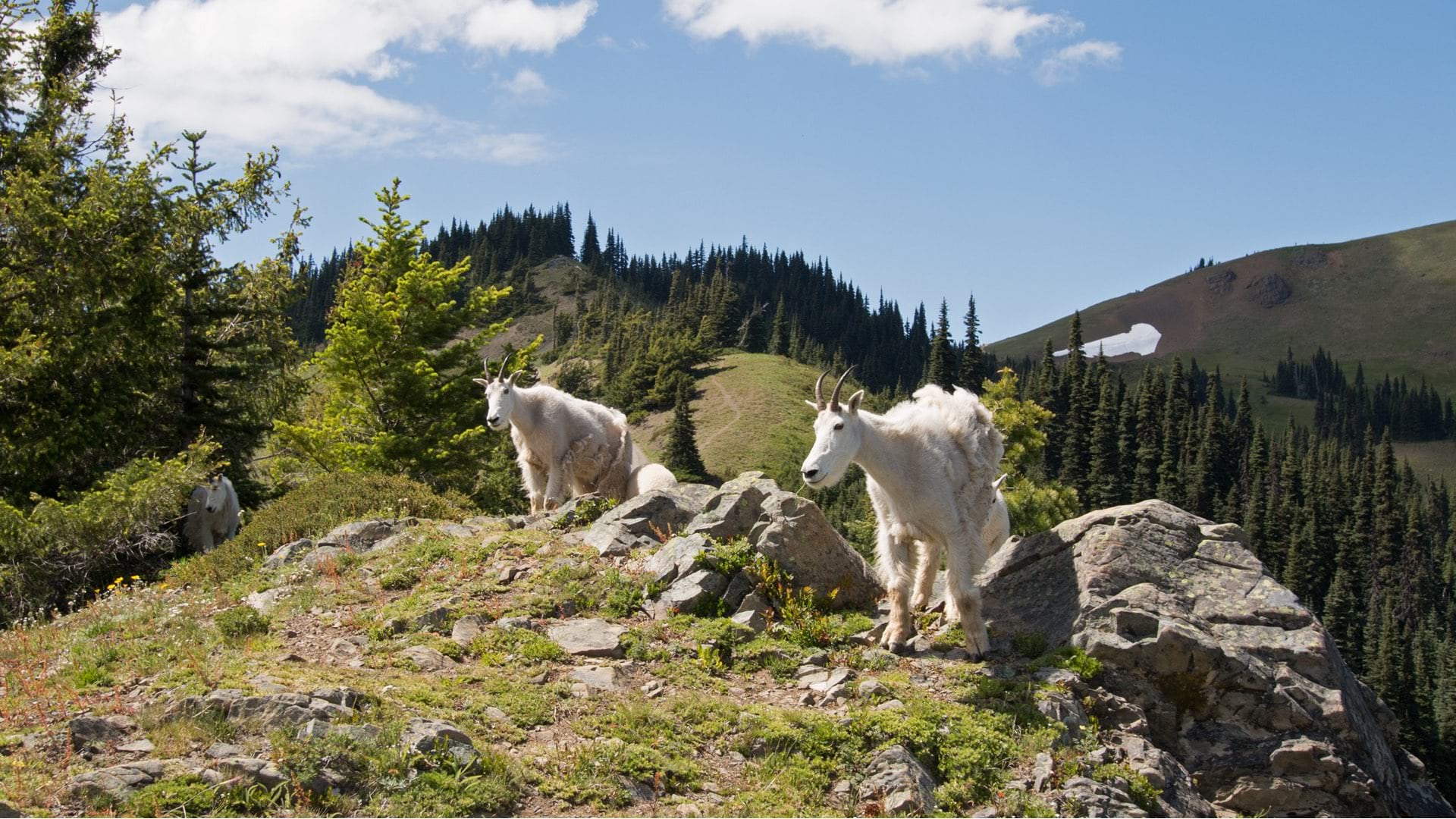
Mountain goats that were not native to Olympic National Park were captured, relocated, and monitored using location intelligence.
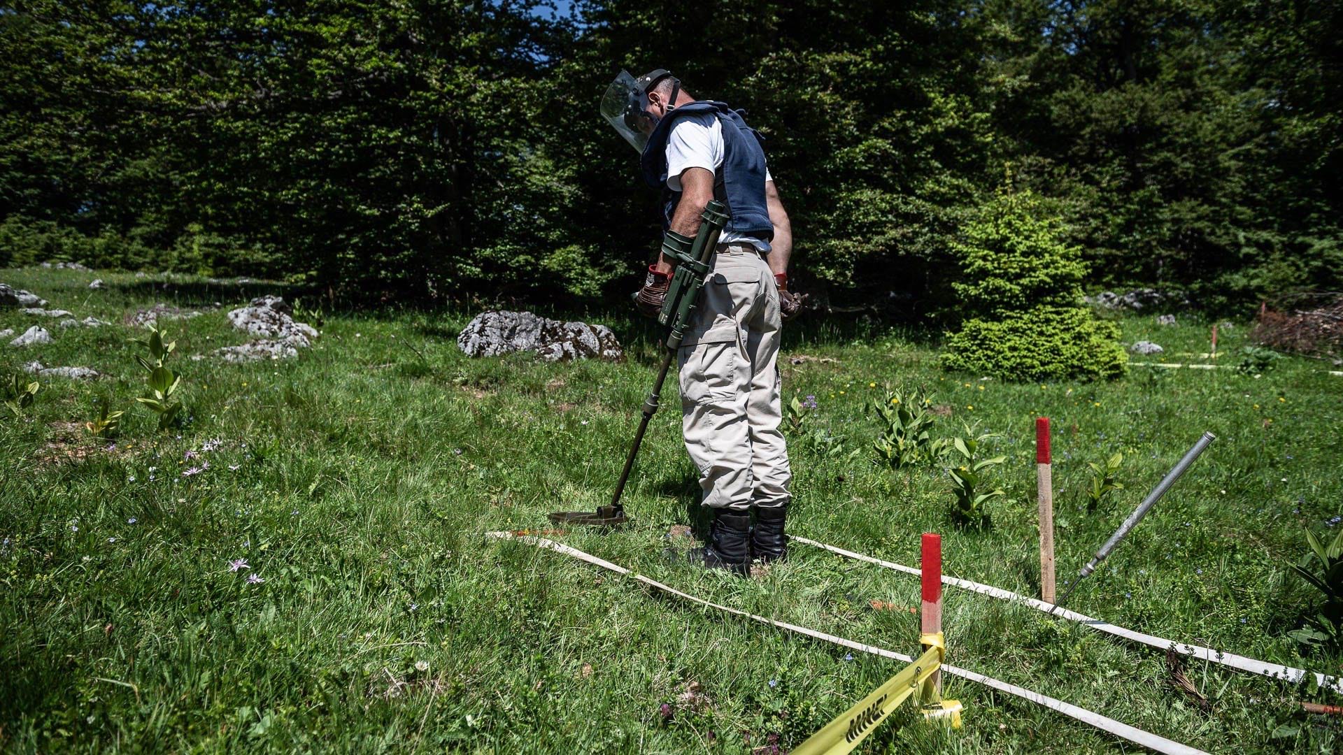
Norwegian People’s Aid uses field apps, dogs, drones and detailed 3D maps to eliminate mines in post-conflict zones.
ArcGIS Online now suggests what maps make sense for your data to help you better communicate your message.
David Early from the planning and design firm PlaceWorks talks about the innovative new tools shown at the Geodesign Summit...