displaying 1714 results

For Menghestab Haile, using GIS for food and nutrition security is only the first step in getting information into the hands of decision-makers.
The US Navy's new standardized addressing system will help dispatchers route police and ambulances to emergencies.

To better connect residents of Durham, Ontario, with local services, Esri startup partner Qwhery brought spatial data to smart home devices.

Newly published Esri Press books spotlight GIS in state and local government, health, and conservation.
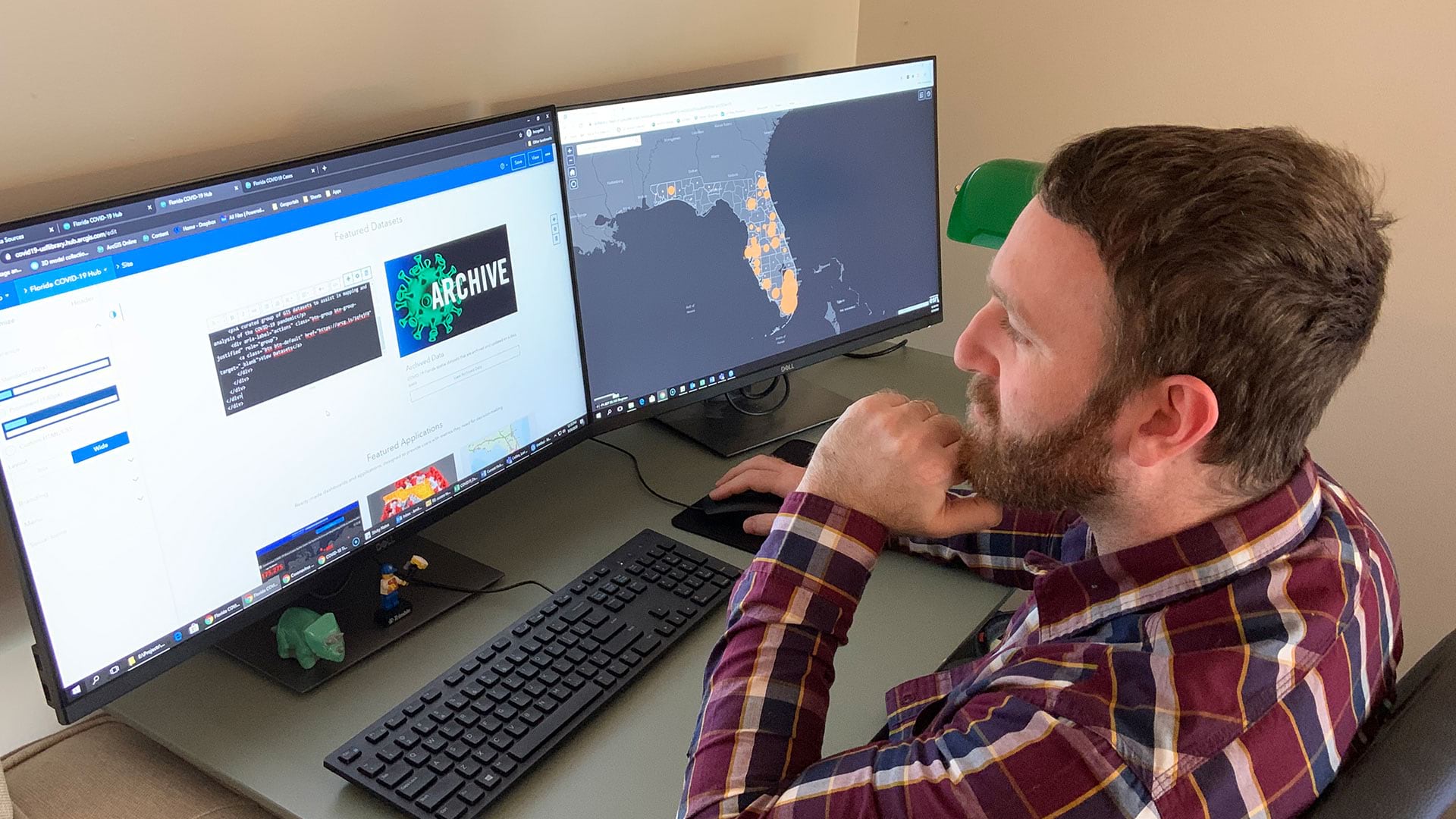
Open data sites help residents and local officials protect their communities, stay safe, and prevent infections.

Colorado governor John Hickenlooper—part of a new wave of US leadership—has a passion for integrating geographic knowledge into government.
Leaders in Roanoke County, Virginia, developed a way to give staff and citizens easy access to information about local government using a geogra…
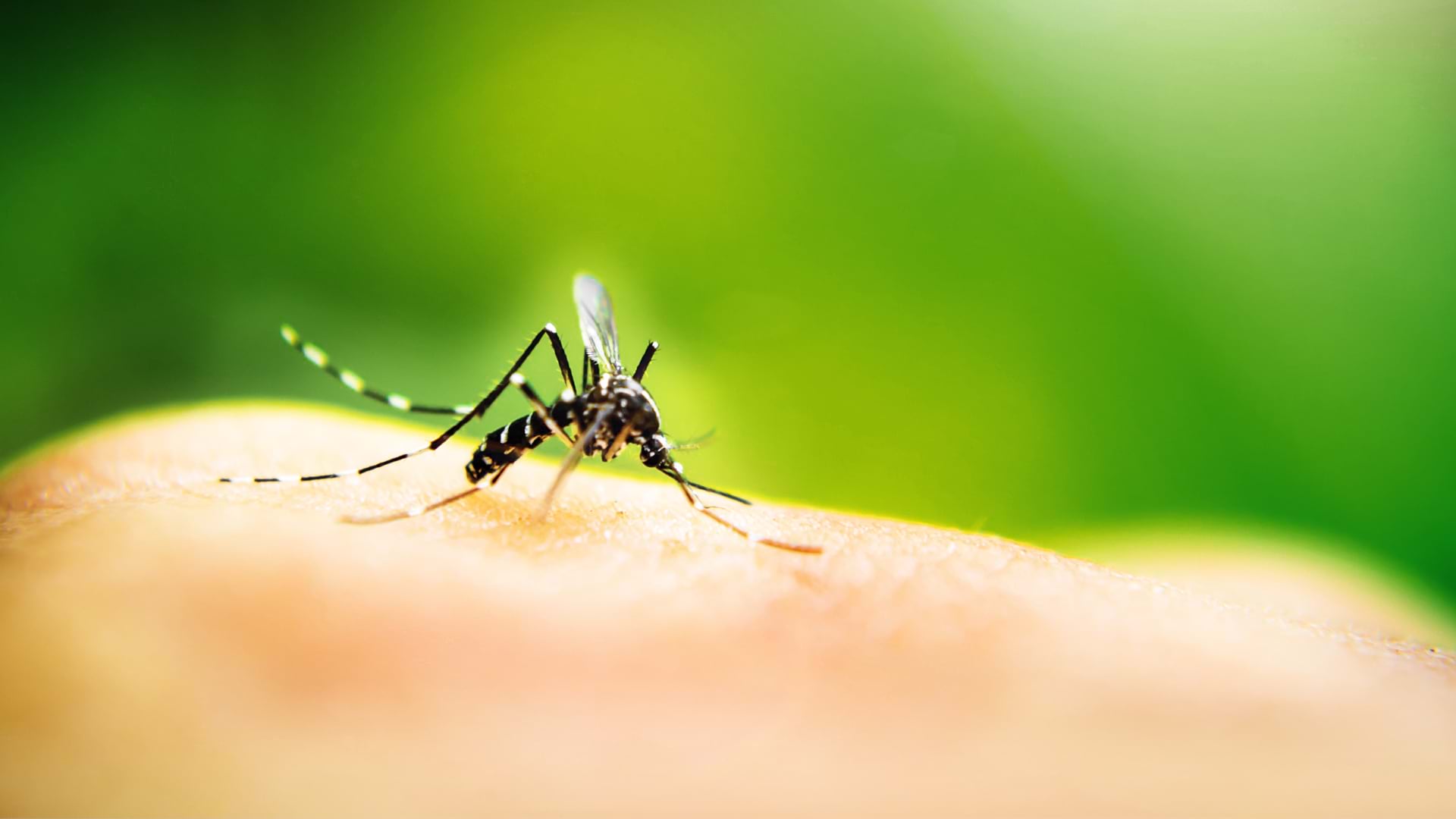
Zambia’s ministry of health uses geoenabled maps to help distribute insecticide-treated mosquito nets and indoor residual spray.
Bengaluru is the third most populous city, the fifth most populous urban agglomeration, and the second fastest-growing major metropolis in India.

Teri Takai, VP of the Center for Digital Government, describes the rise of geospatial technology and location intelligence in governance.