displaying 411 results
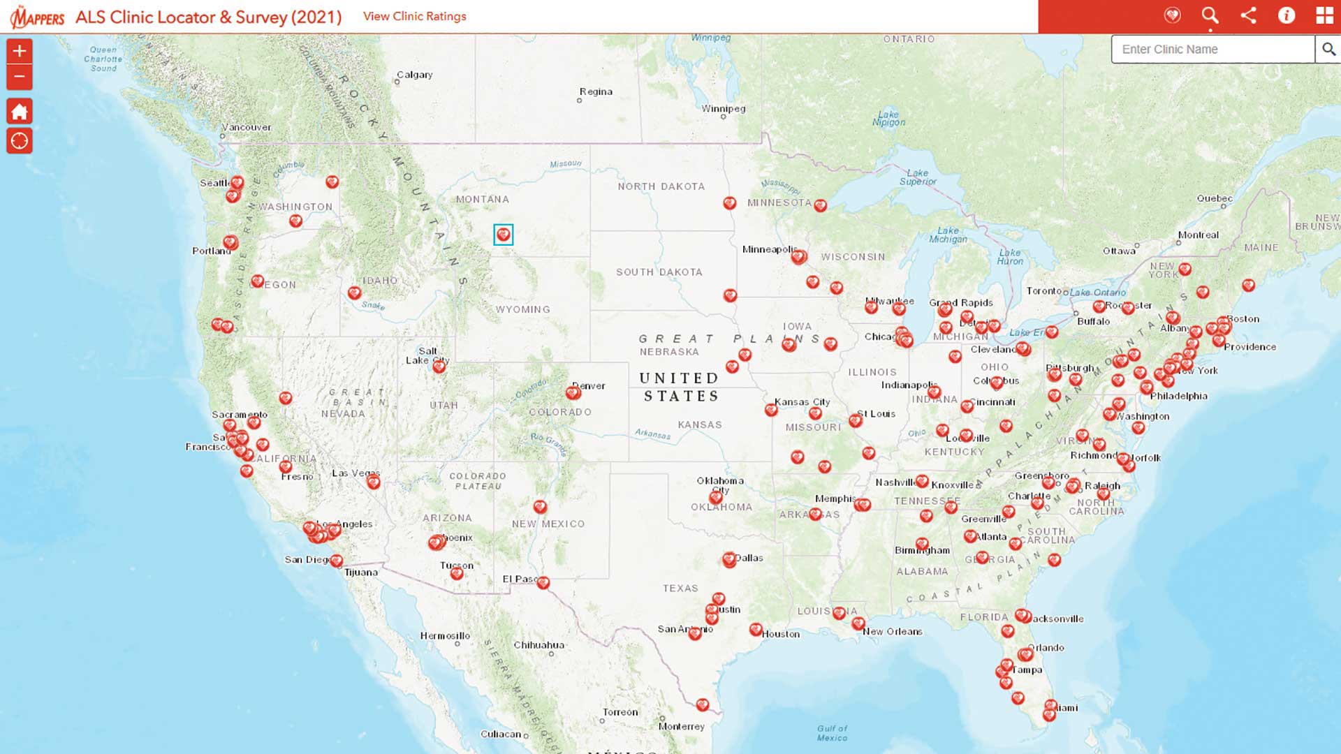
Pat Dolan used his GIS expertise to build tools to help the amyotrophic lateral sclerosis (ALS) community.

Esri supports the work of Jane Goodall and E.O. Wilson; CropScape data available; Esri and MobilEye partner.

Esri and the Association of American Geographers work together to develop a GeoMentoring network to support the ConnectED Initiative.

United Nations Statistical Commission endorses program to develop a statistical-spatial framework for integrating statistical and geospatial data

Geography can be applied to everything that can be understood. But the world isn't being understood quickly enough to keep pace.

GIS professionals at all levels of their careers should explore the growth opportunities fostered by URISA and other, similar organizations.
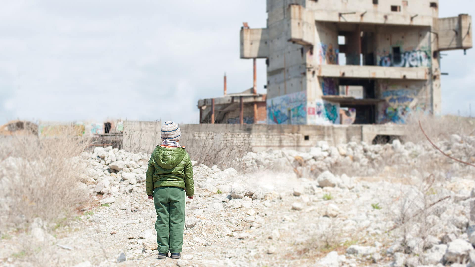
With GIS, international organizations can monitor and profile vulnerable populations to get them the help they need.
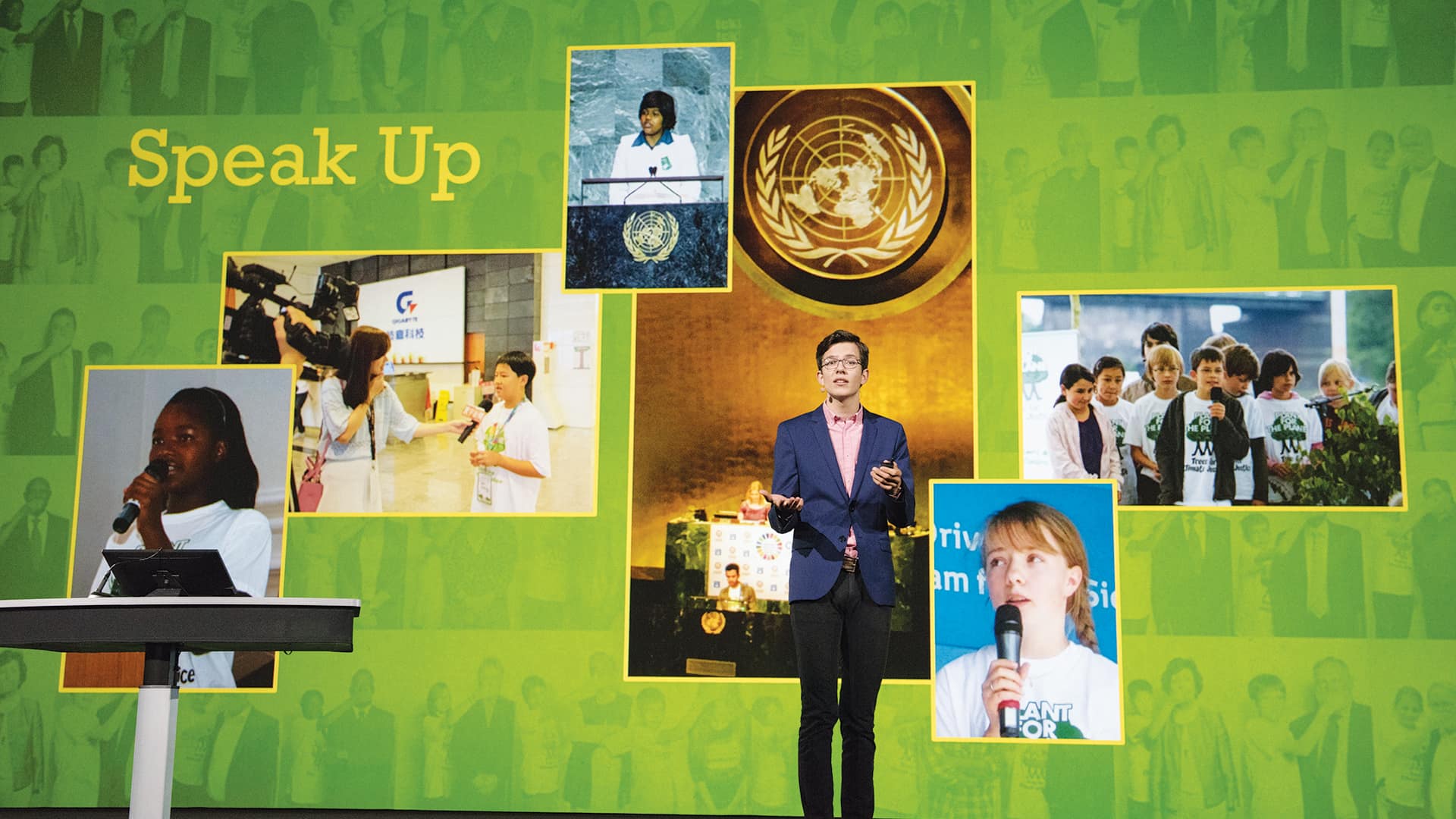
Plant-for-the-Planet founder Felix Finkbeiner sees the forest and the trees: 4.2 trillion of them.
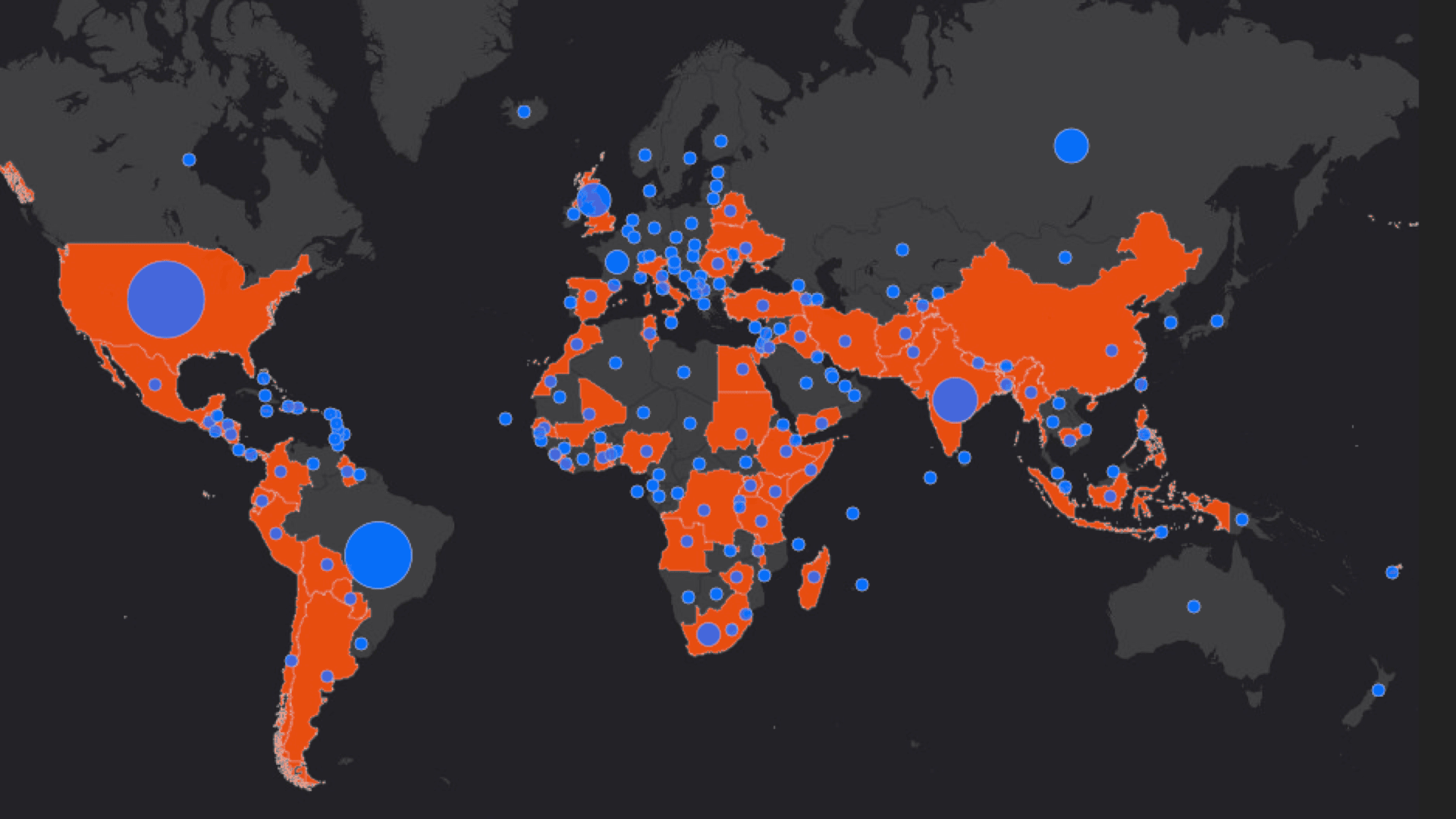
Andrew Schroeder from Direct Relief explains how technology cuts through supply chain obstacles in a global emergency.
Humanitarian organizations are using ArcGIS to analyze high-risk areas of the world to more rapidly deliver aid.