displaying 7049 results

A product called Appia helps companies incorporate construction contract activities into their maps and dashboards.
A Florida University combined geography and art in an innovative new class.

AutoCAD 2025 now features ArcGIS Basemaps and ArcGIS Living Atlas of the World data; Esri’s Maps.com highlights exceptional maps.

Want to learn how to Get Started with ArcGIS Arcade or create Python Scripts for ArcGIS? Check out the new Esri Academy courses.

3D GIS workflows and models have created a digital twin to help guide development of port facilities in Vietnam.

A GIS-powered America’s Commerce Corps program called Community Connection helps consumers and communities engage with local businesses.

Esri is actively involved in a multitude of climate-related activities, including massive online open courses.
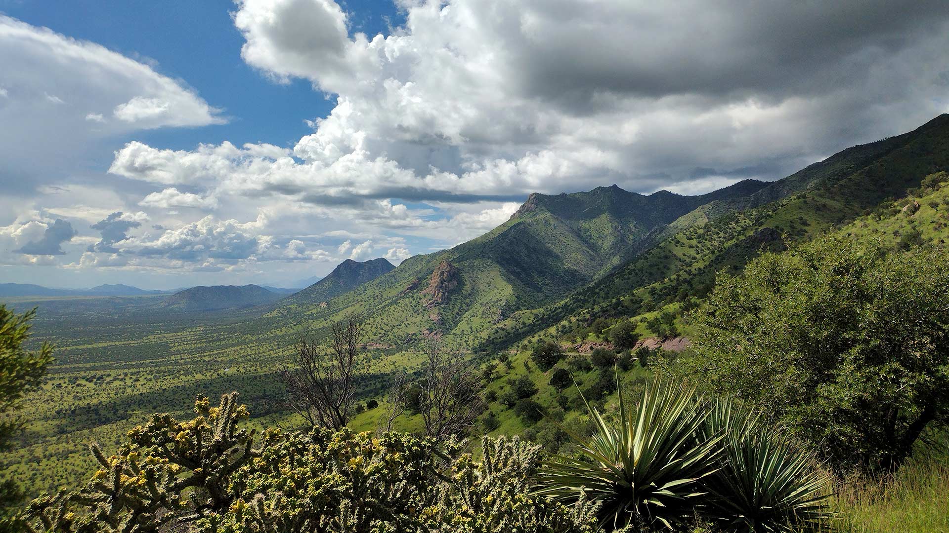
ArcGIS Image for ArcGIS Online helps scientists track land subsidence in Arizona’s Willcox Groundwater Basin.

ArcGIS Data Pipelines now makes it easier and faster to prepare, integrate, and manage data In ArcGIS Online.

New books from Esri Press cover geospatial technology in the field, GIS and wildland fire, and GIS for geospatial collaboration.

Somerset County in New Jersey has created a GIS-based website that provides details on affordable housing options and more.

With humanity at an inflection point, we must choose to stand up and create a sustainable future.