displaying 4463 results
This regular column contains information about the latest updates to ArcGIS Online, including new features and capabilities, basemap updates...

Mapping for a Sustainable World is a must read for anyone interested in how mapping can help understand the Sustainable Development Goals.
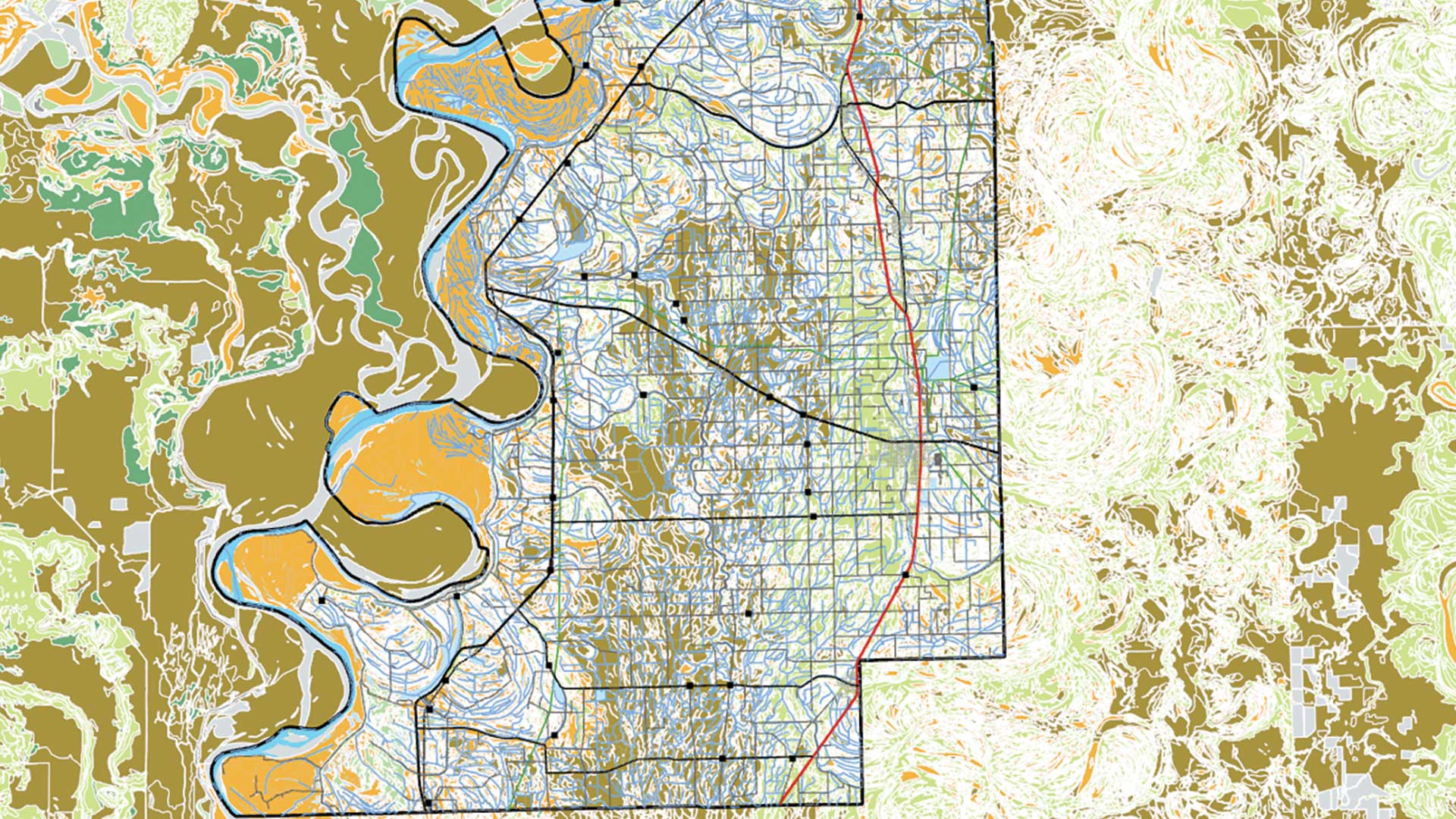
You can add images of maps from the USGS Historical Topographic Map Explorer app into ArcMap and use them to perform operations...

Gachina Landscape Management in Silicon Valley uses GIS to map its clients' irrigation information, which saves water, time, and money.
Meet the winners of the 2016 Esri Storytelling with Maps competition.
Get tips on how to make a winning Esri Story Map app from the experts: The winners of the 2014 Esri Storytelling with Maps Contest.

Esri senior cartographer Aileen Buckley shows you how to use Map Viewer to find colorblind friendly color ramps and use one to style a map.

Map Viewer Beta includes upgraded features such as layer groups, cluster labeling, improved symbology, and layer blending.
This exercise teaches a data management workflow that uses the Soil Survey Geographic Database (SSURGO) service.
Using online layers from ArcGIS Living Atlas of the World lets anyone explore maps with no download required.

Maps are magic because they have all sorts of different uses and raise all kinds of interesting thoughts and questions.