displaying 396 results
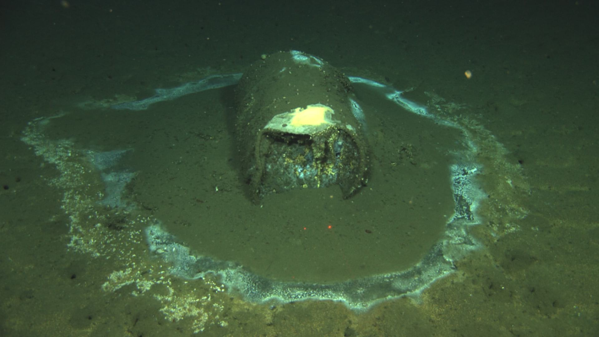
A map of dumped barrels off the coast of Southern California provides alarming evidence of ongoing environmental harm.
Bring your ideas to the first Esri Ocean GIS Forum, to be held November 5–7, 2013, in Redlands, California.

For years, maritime officials have overseen the creation of an exhaustive digital twin of Singapore’s coastline.
NOAA scientists use geography to integrate data and insight from five different disciplines to understand the rise of this fungal infection.
Esri Chief Scientist Dawn Wright explains how careful ocean stewardship can lead to a prosperous future.

Open science is a global movement to make scientific research open and accessible. Organizations can use ArcGIS Hub to increase engagement.
Even with many canceled events being rescheduled in 2020, the Esri science team still virtually contributed to scientific ideas and research.
Esri Press supports the global community with publications that advance geographic understanding, literacy, and learning in all endeavors.
Esri is committed to continually advancing the underlying science of GIS, improving how it is applied through Esri GIS technology.

One way to cope with climate change on a global scale is by continuous, near real-time mapping and monitoring of the face of the Earth.