displaying 920 results

The winners have been announced in the 2020 ArcGIS StoryMaps Competition for the Sustainable Development Goals.

Water 4Life works to conserve water; Esri cloud solution engineering supports public safety; and maps improve efficiency in California.

One way to cope with climate change on a global scale is by continuous, near real-time mapping and monitoring of the face of the Earth.
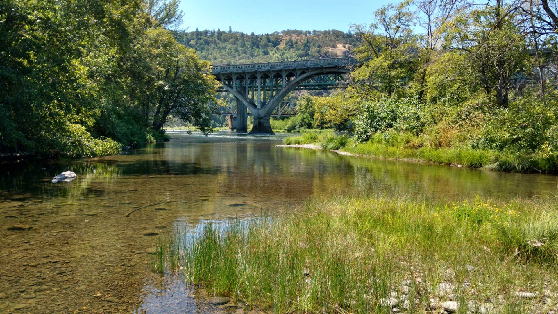
The Cow Creek Band of Umpqua Tribe of Indians launched the Tribal-Cultural Resource Information System (T-CRIS), which was created using ArcGIS.

Three new books from Esri Press focus heavily on the analytical capabilities of GIS.

Even with many canceled events being rescheduled in 2020, the Esri science team still virtually contributed to scientific ideas and research.
Existing GIS ecosystems need to be designed in ways that support Indigenous data sovereignty and visibility—for the benefit of all.

Tolko woodlands operations supervisor looks for new technology to help the team increase productivity and meet demand for raw logs at mills.
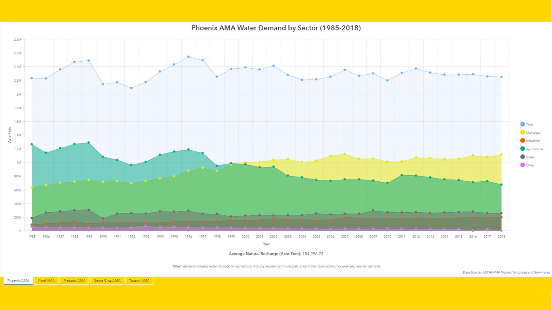
The Arizona Water Blueprint Viewer was created using ArcGIS Online and its configurable ArcGIS Web AppBuilder, along with ArcGIS Pro.

The global professional services company GHD uses ArcGIS Survey123 from Esri to collect data on rockfall hazards along a railway in Australia.

During the COVID-19 pandemic, a high school science teacher has leveraged his second job as the local meteorologist to teach kids GIS.
Esri partners Similix, Intelligis Technologies, ROK Technologies, and VHB improve operational efficiency and business with Esri technology.