displaying 998 results
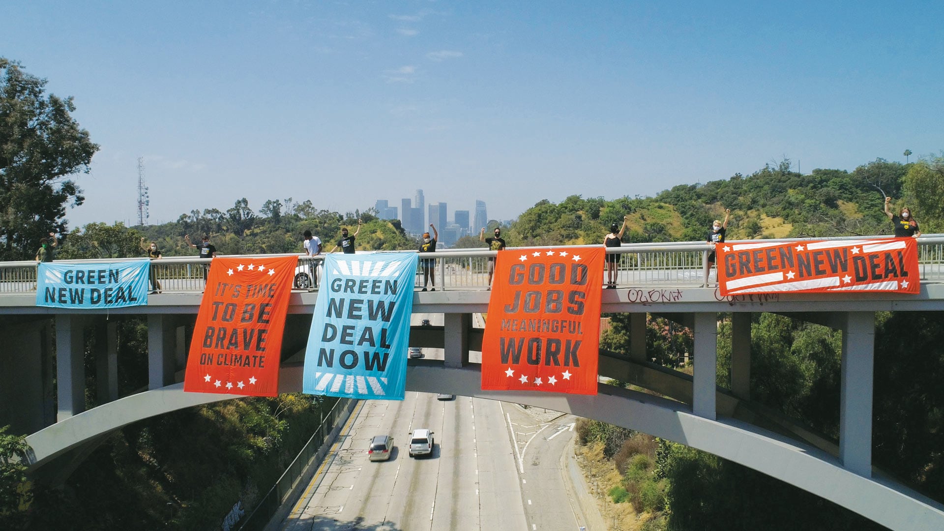
The movement gains momentum from in-person events, so activists started using ArcGIS StoryMaps in response to the COVID-19 pandemic.

At the 2022 Esri Partner Conference, Esri acknowledged 26 partners for the remarkable solutions, services, and content they offer.

Women are disproportionately disadvantaged when it comes to land access and property rights. Esri partner Cadasta is working to change that.

The 2022 Esri Developer Summit was held in person for the first time in two years. It was exciting for attendees to be together again.
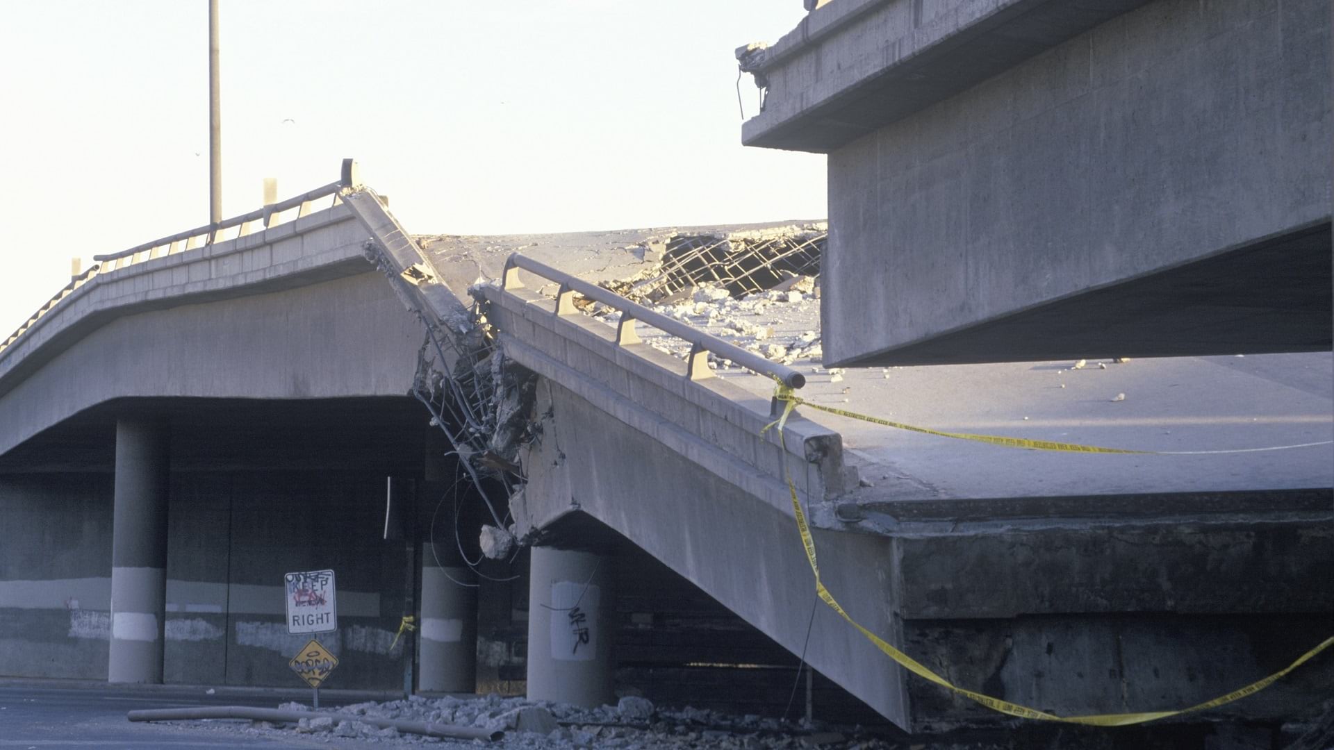
What happens when a huge earthquake hits California? Joseph Toland of the USGS breaks down his GIS-based response model to prepare for disaster.

Sound data provided by recognized, local sources should be the same data that appears in statewide, national, and international datasets.
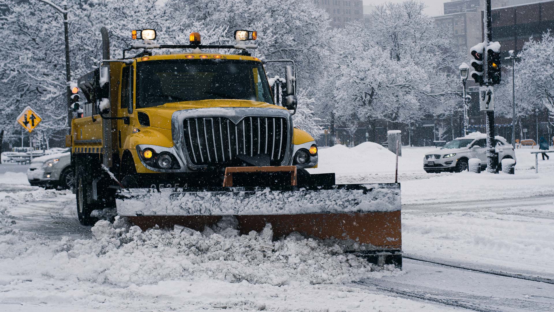
Real-time snowplow monitoring proves successful, opening doors to implement the cloud-based product for additional public works projects.
When organizations need to upgrade technology, manage and analyze large amounts of data, and synchronize systems, Esri partners can help.
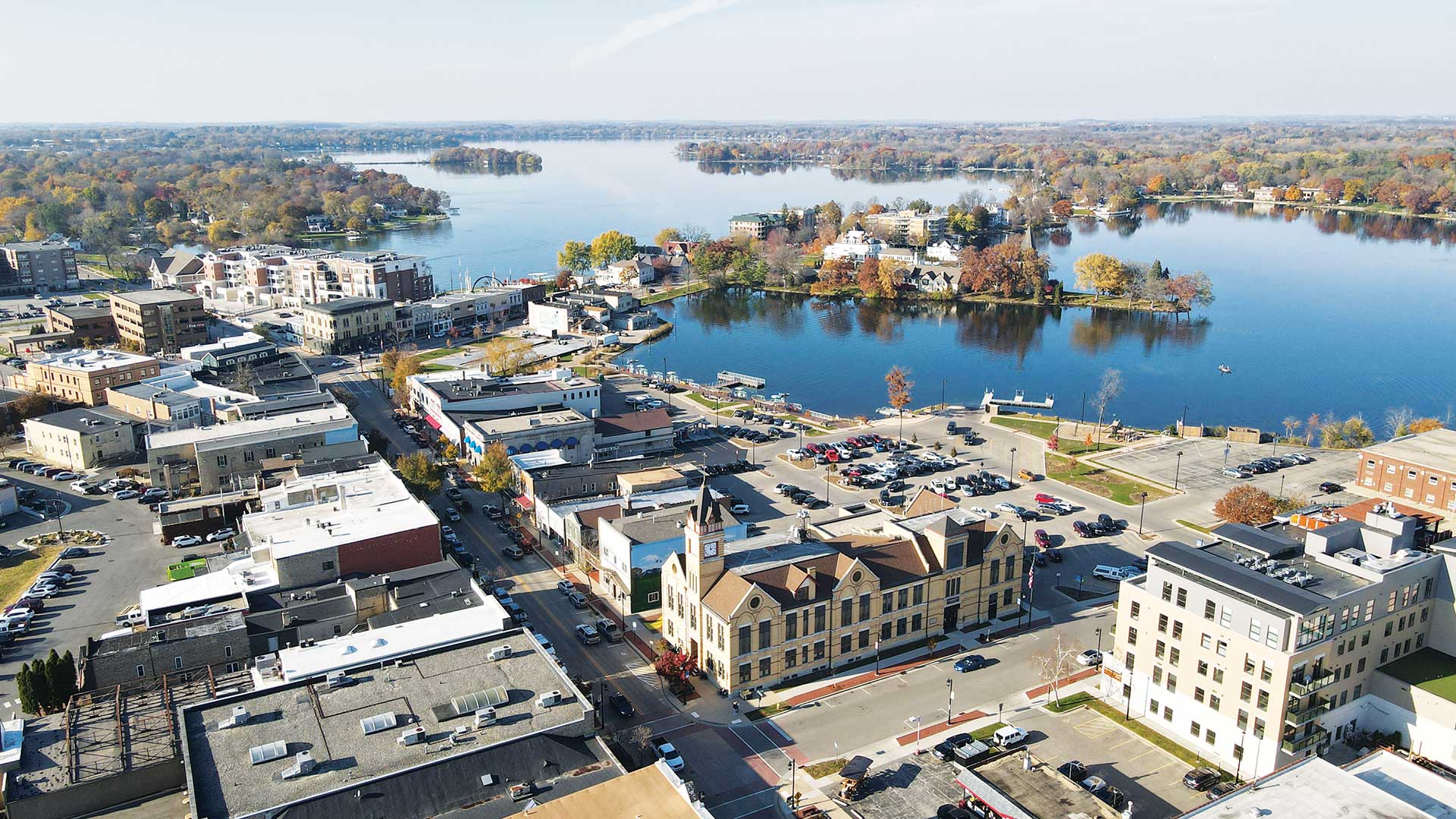
Streamlining data collection allowed the City of Oconomowoc, Wisconsin, to better identify suspected lead pipes and start replacing them.

A new academic discipline, cartography underwent vast technological advancements that made it possible to map just about anything.
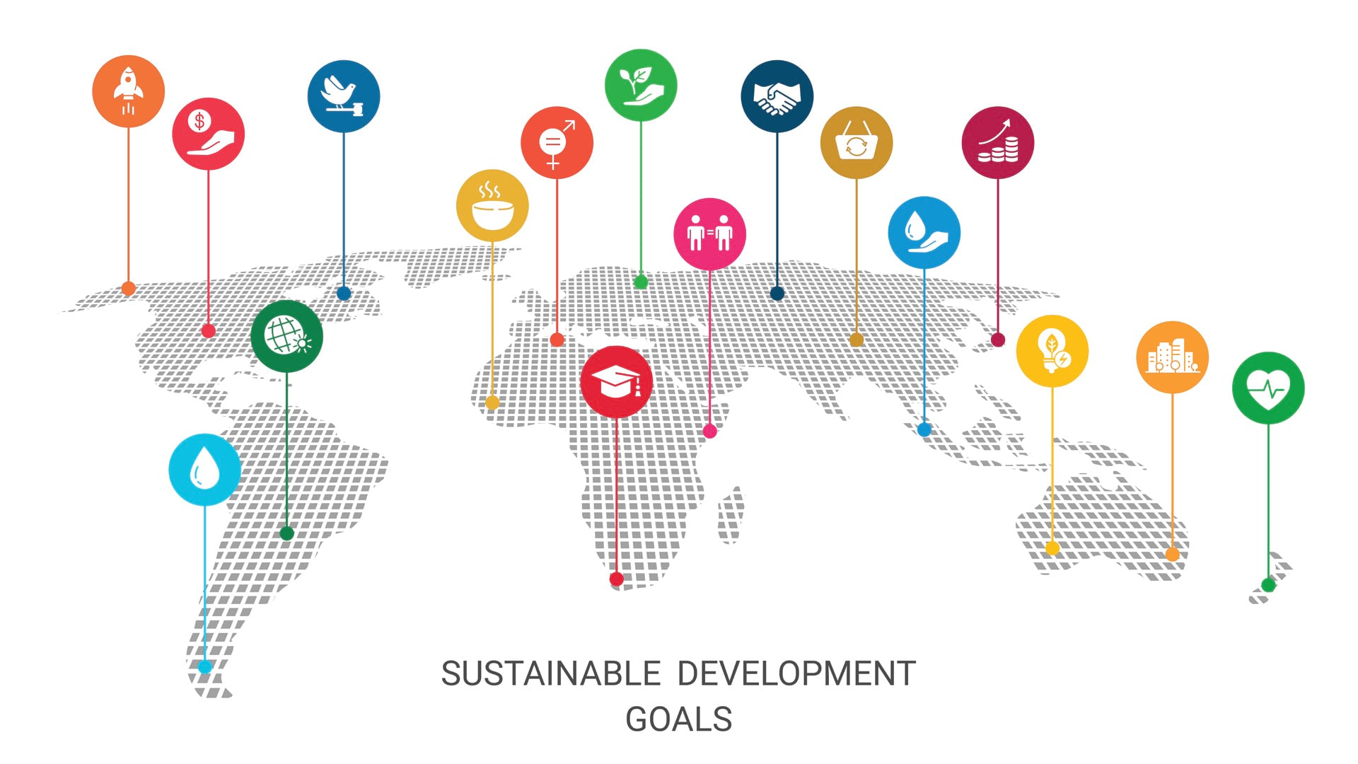
We have less than eight years to achieve the Sustainable Development Goals. Maps can help us better understand them and monitor progress.
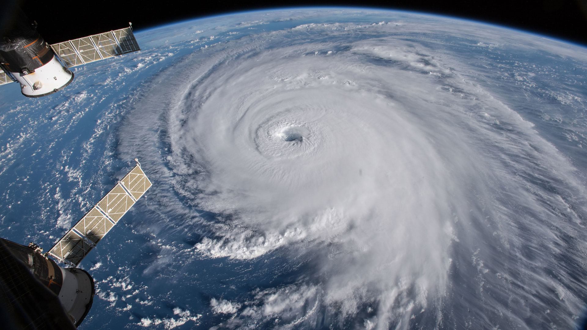
Group on Earth Observations (GEO), Esri, and many other organizations and nations work together to reduce disaster risks worldwide.