displaying 778 results

The City of Austin, Texas, developed a comprehensive plan to migrate to ArcGIS Pro.
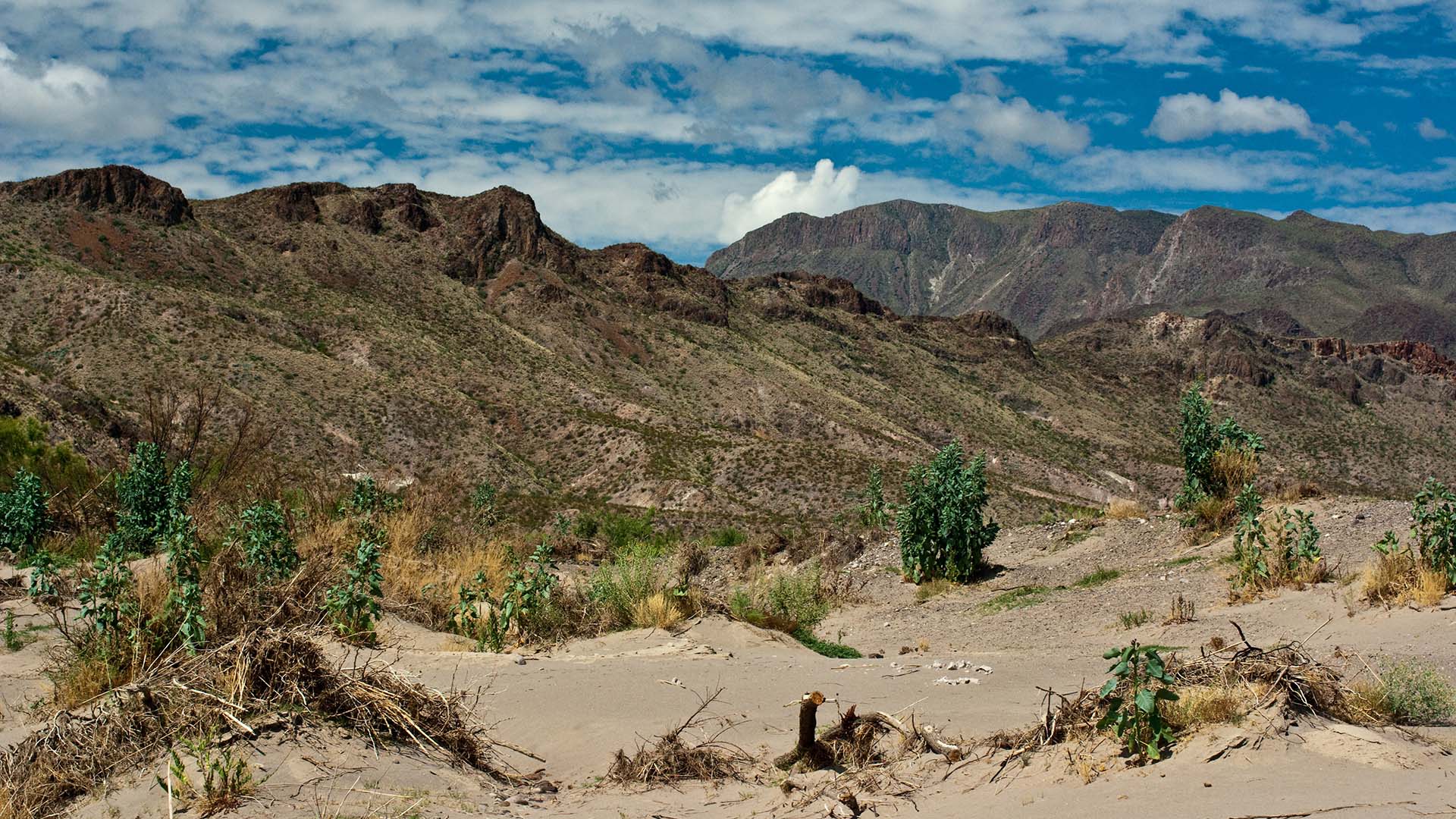
The United States Border Patrol is using GIS to improve its search and rescue (SAR) operations for migrants in distress.
Students from the Penn State University geodesign program participated in a project to revitalize the city of Utica, New York.

Mapping America’s National Parks: Preserving Our Natural and Cultural Treasures; Protecting the Places We Love

A new mobile app, ArcGIS Field Maps, gives mobile workers a single app that can perform multiple critical field activities,

ArcGIS Living Atlas of the World provides continually updated maps, apps, and data layers that can be used to make great apps.
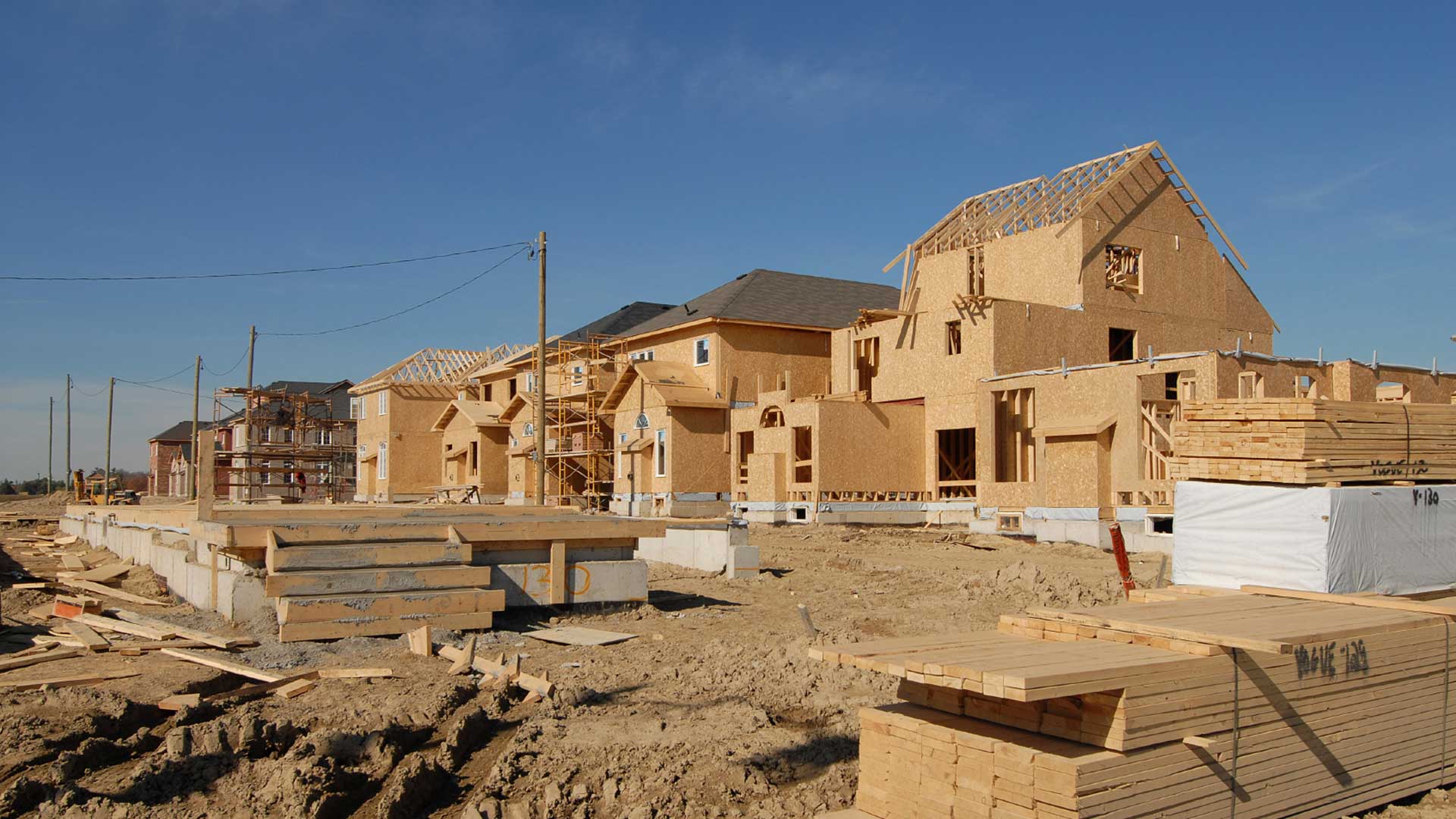
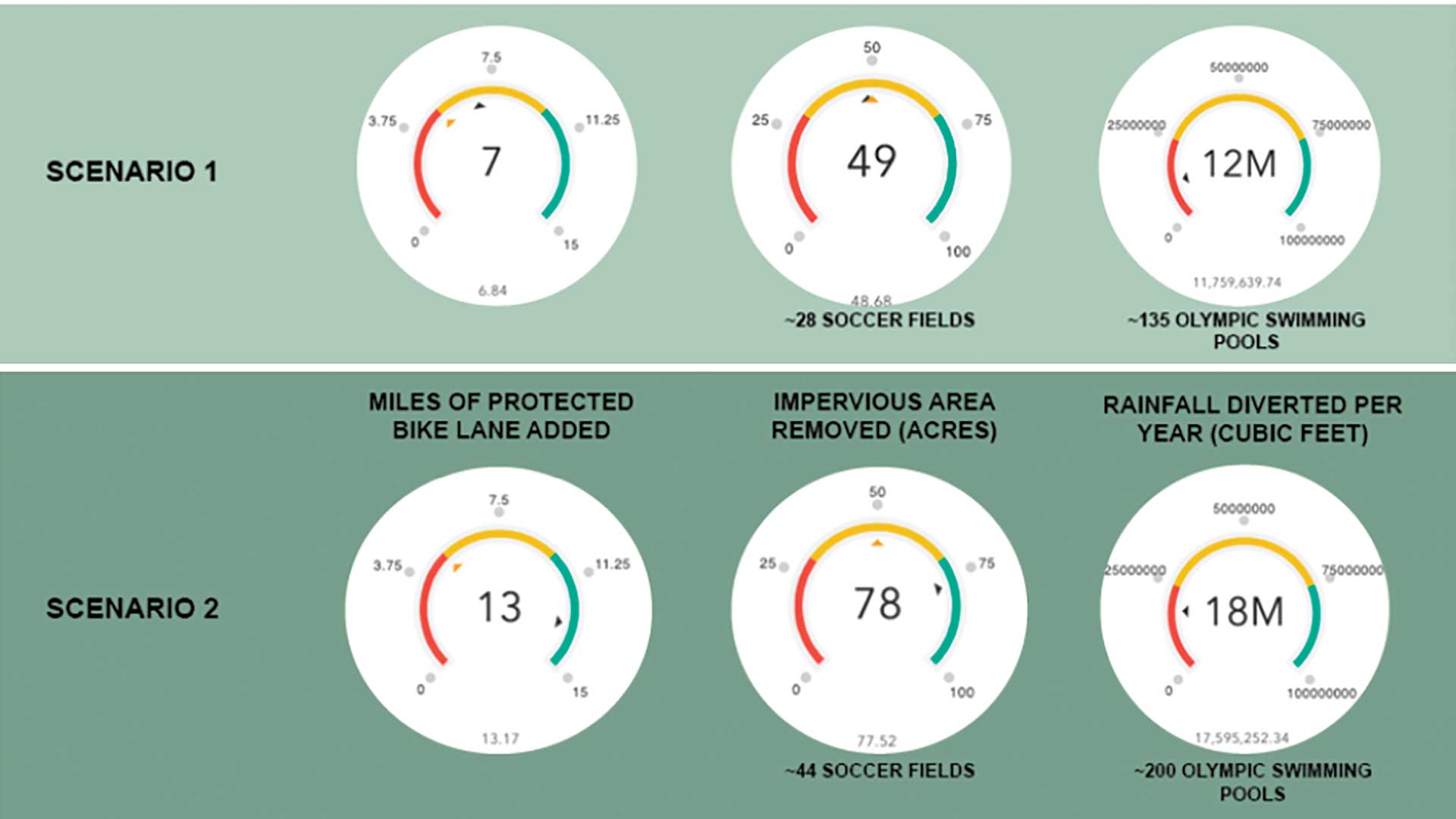
Any conversation that planners and administrators have today about community resilience has to include a sustainable housing policy.

A tutorial showing the workflow used to support a grant request by a district in Pierce County, Washington.

Geospatial infrastructure empowers everyone to be an intrapreneur.

Table of contents listing articles in this issue and the Editor's Letter.

The real-time data sharing, analysis, visualization, and planning capabilities will be key to equitable and speedy vaccine distribution.

The key metrics for technology projects are speed and rate of user adoption.