displaying 994 results

The World Geospatial Industry Council (WGIC) brings together the most respected leaders in the geospatial industry under one umbrella.
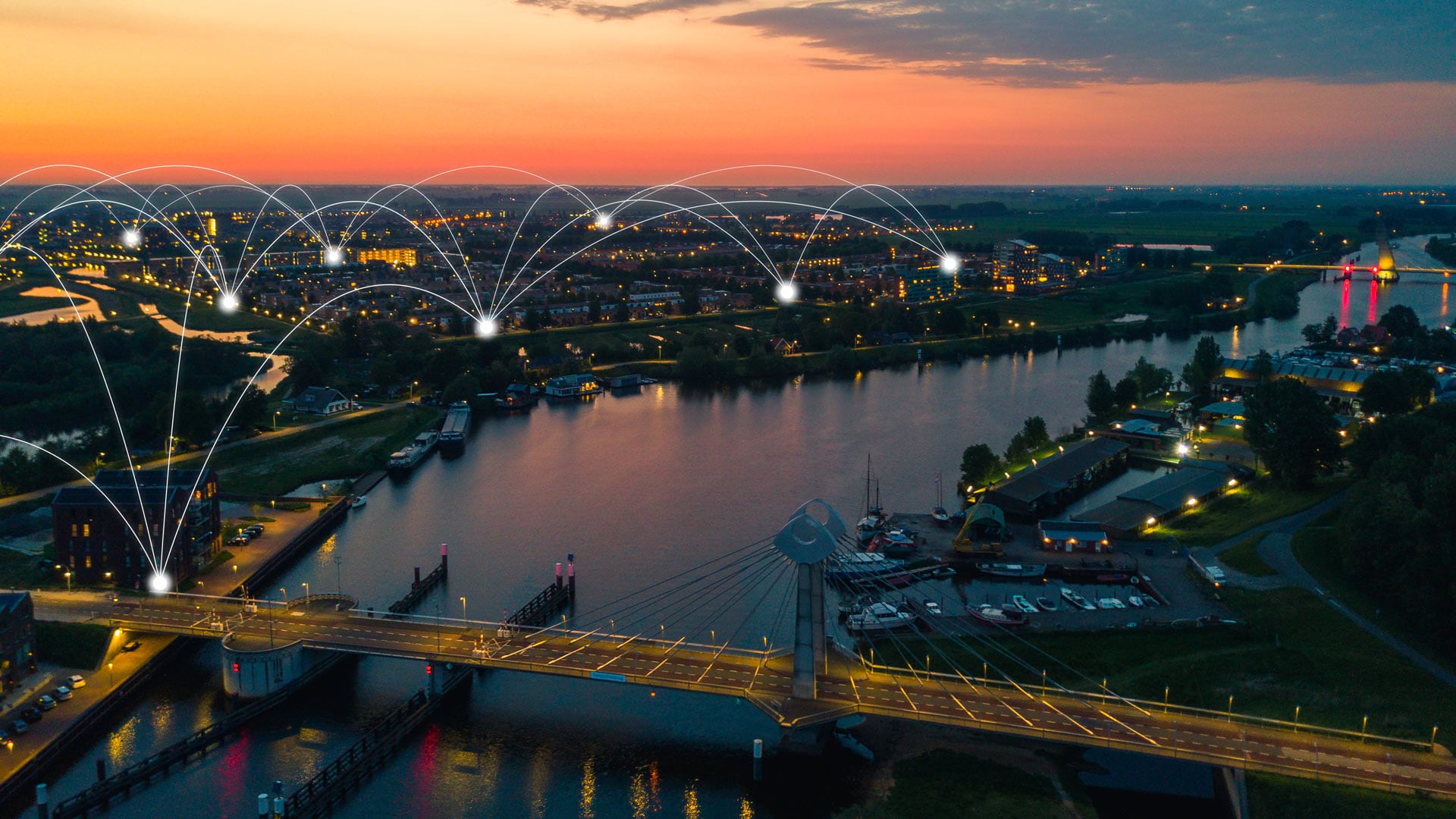
To better understand how climate change is affecting its community, the City of Zwolle is engaging citizens and increasing transparency.

Esri joins GEO as Associate member, starts new collaboration with Mobileye, opens new R&D center, and gets ready for GIS Day!
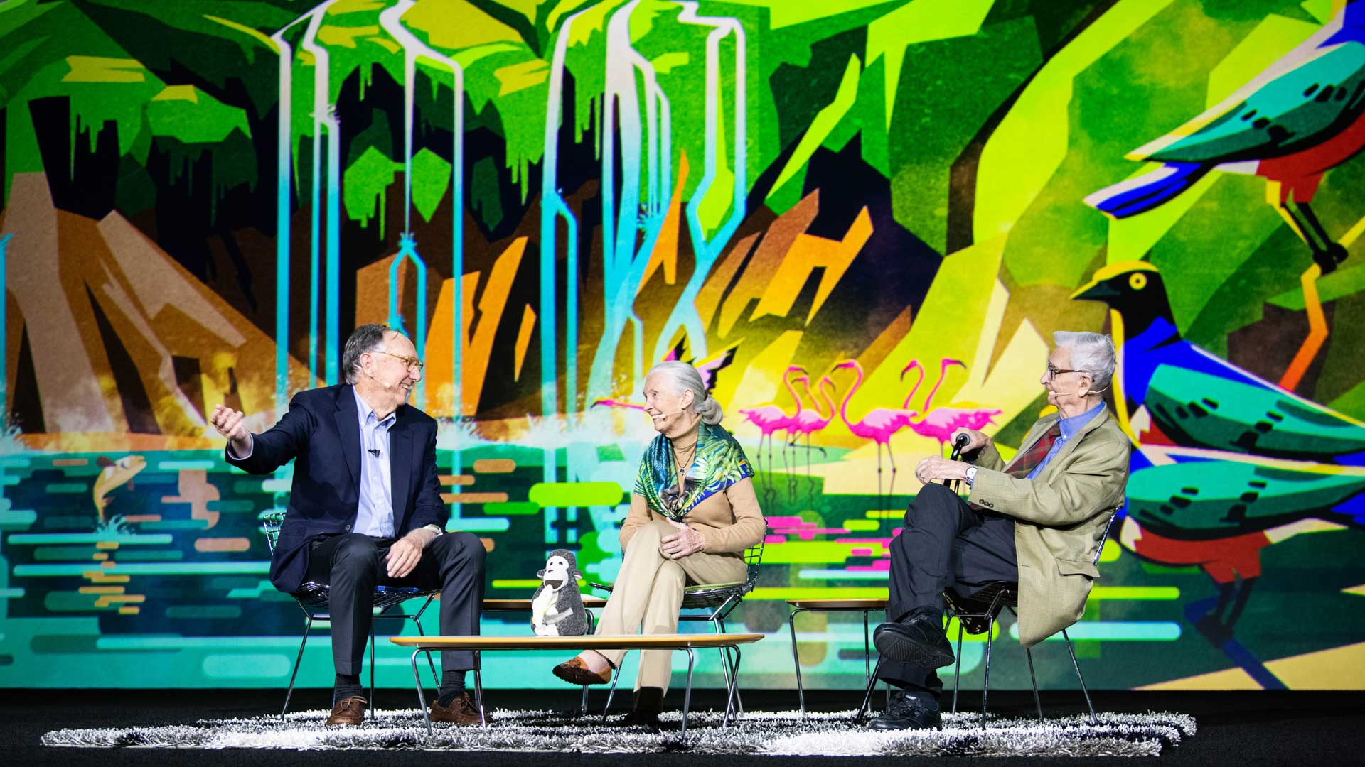
Jane Goodall, DBE, and renowned biologist Edward O. Wilson brought their perspectives on biodiversity conservation to the Esri User Conference.
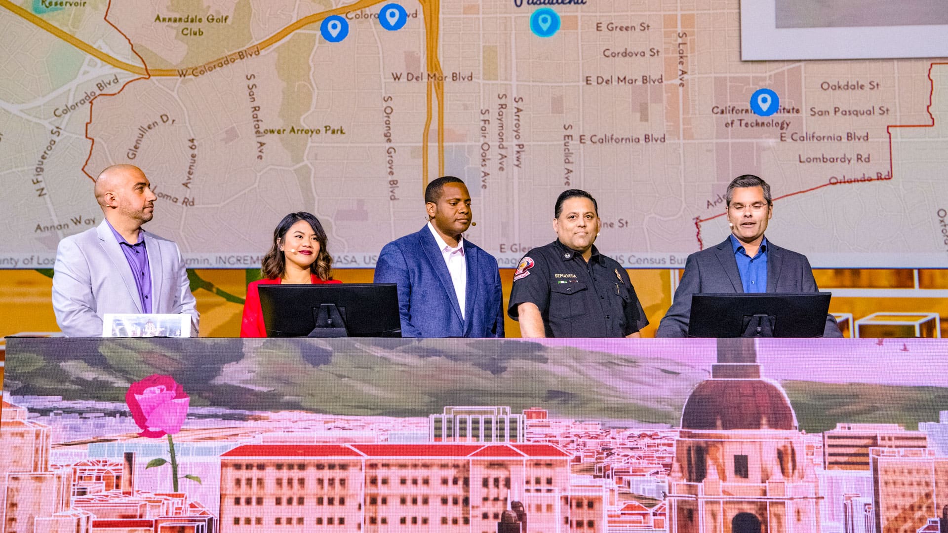
The City of Pasadena, NatureServe, the US Census Bureau, and other organizations show how GIS helps them see what others can't see.
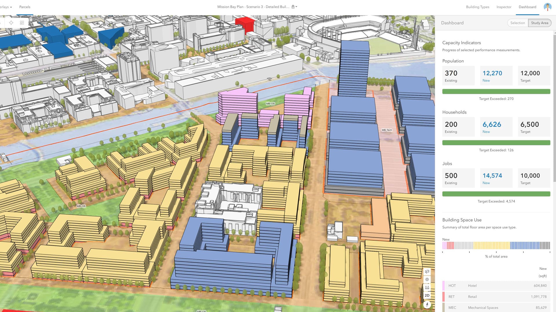
With an immersive 3D experience, ArcGIS Urban allows planners, governments, and citizens to visualize proposed development in their cities.

Built on ArcGIS technology, the Easy2Hike app helps hikers, bikers, and equestrians plan hikes and learn more about their surroundings.

What does it mean to be data driven? How can an organization build a culture that’s galvanized by data?
To tackle the complex problems associated with climate change, The Nature Conservancy is revolutionizing its approach to conservation.

At the 2019 Esri Partner Conference, Esri recognized partners in 13 award categories for their expertise and superb ArcGIS implementations.

The focus of three new Esri books will be how to use GIS for science, smarter government, and the census with a fourth devoted to geodatabases.