displaying 595 results
Kew Gardens started the Tropical Important Plant Areas (TIPA) project to assess plant conservation priorities.

Mapping America’s National Parks: Preserving Our Natural and Cultural Treasures; Protecting the Places We Love

James Hardcastle from International Union for Conservation of Nature explains the signs of positive change in planetary conservation.
The Nature Conservancy uses Esri ArcGIS to power its suite of online mapping decision support tools, which organizations can use to prepare...
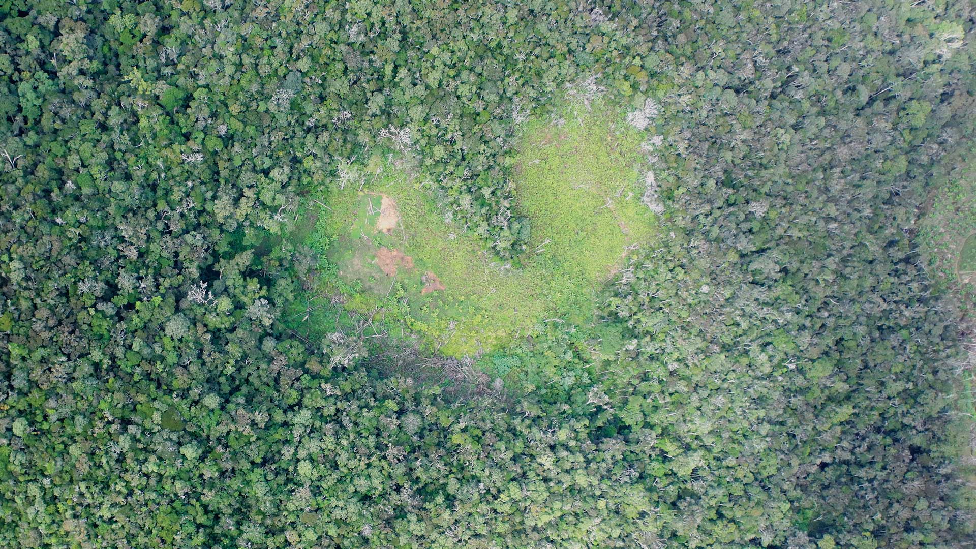
For communities unconvinced by Jane Goodall Institute's approach of sustainable participatory planning, 2005 was a turning point.

A new book details how the Jane Goodall Institute empowers communities to safeguard their natural resources—or risk losing them forever.

2022 marked the return of an in-person Esri User Conference, and presenters made a big comeback by demonstrating powerful uses of GIS.
Esri Insider
|Bacon ipsum dolor amet chuck ham salami, biltong hamburger t-bone pastrami landjaeger ribeye picanha meatloaf filet mignon. Bacon corned bee

GIS Hero Richard Chase Smith is passionate about indigenous peoples’ land rights and conservation issues—and GIS is an invaluable tool for both.
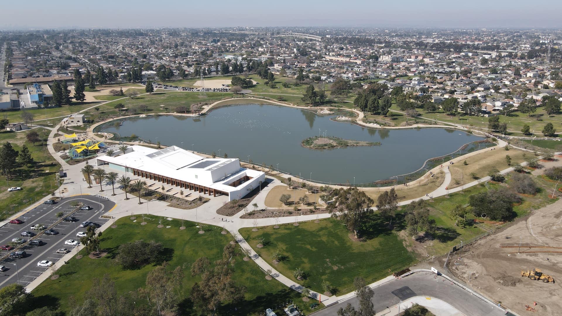
Los Angeles County assessed park and recreational needs to expand access to parks and open space for its most nature-deprived residents.
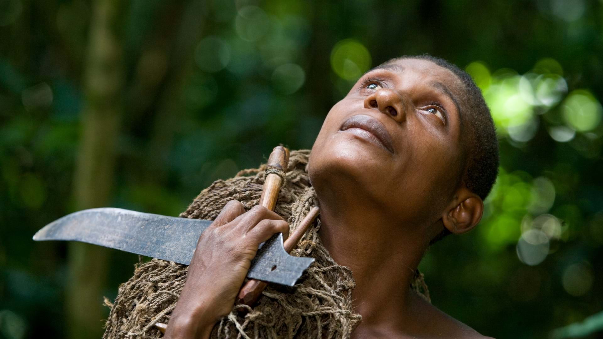
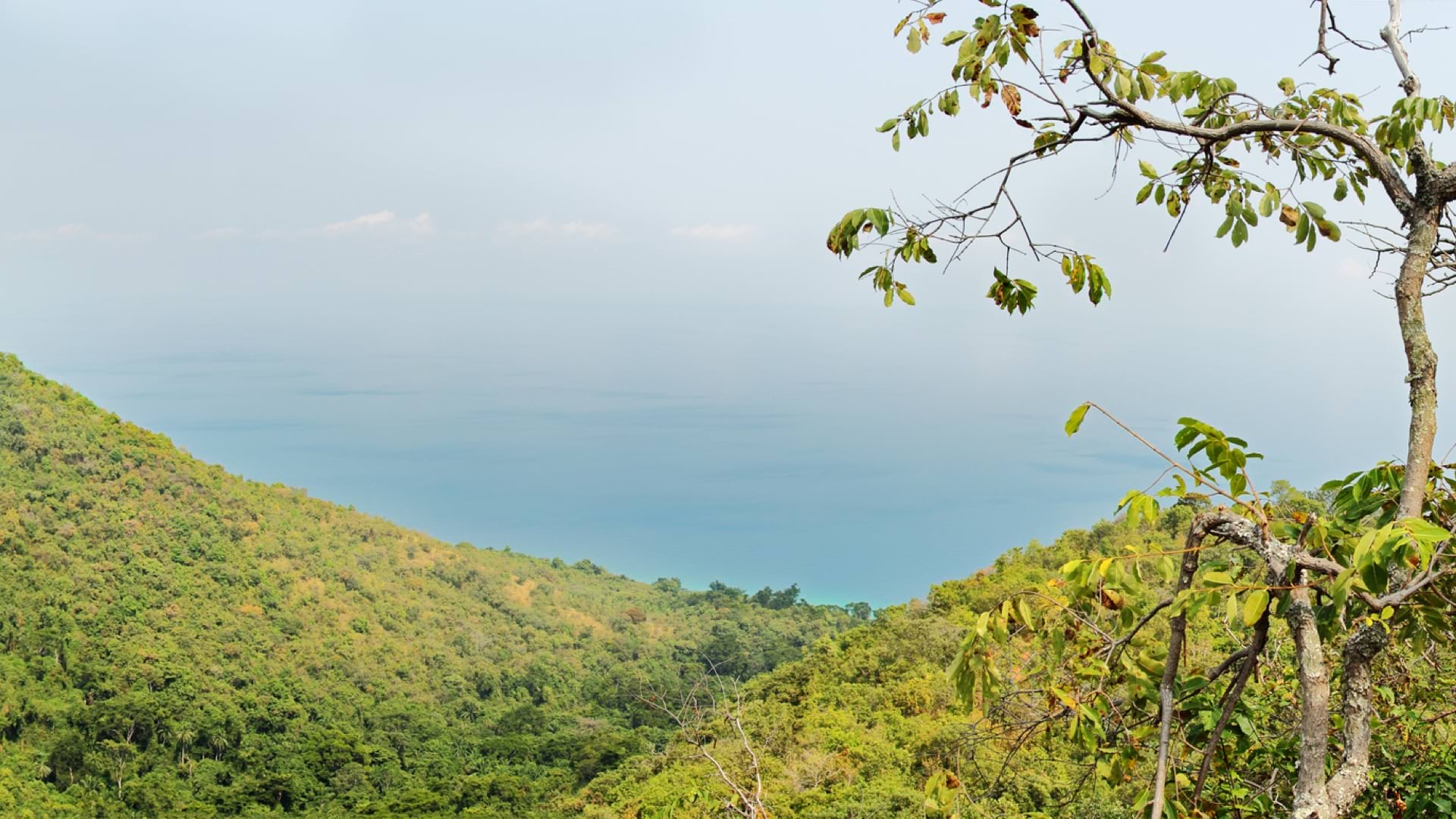
The Congo Basin Institutes tight alliance with the Baka people has yielded scientific discoveries and trained them to become conservationists.

Sean O’Brien, president and CEO of NatureServe, discusses the necessity of data-driven decision making in conservation.