displaying 1717 results

Military bases lacked standard addresses, so the US Navy mapped out all the streets on naval bases and gave military buildings E911-compliant.
He's been shipwrecked on a desert island; he once climbed two of Southern California's tallest mountains in a day.
ArcGIS Enterprise was key to the four-day drill, which aimed to maximize the government’s emergency preparedness and response efforts.

Local governments are now seamlessly merging operations management and spatial analytics.
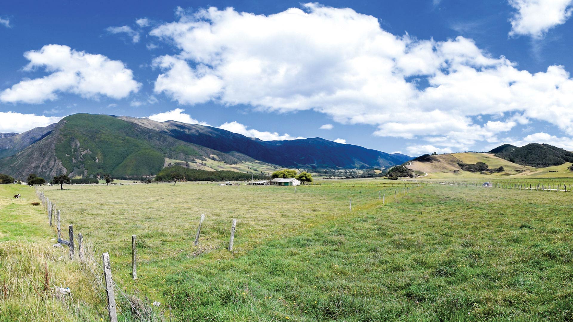
Following six decades of conflict, Colombia is using versioning, modeling, and satellite imagery to ensure accurate land rights.
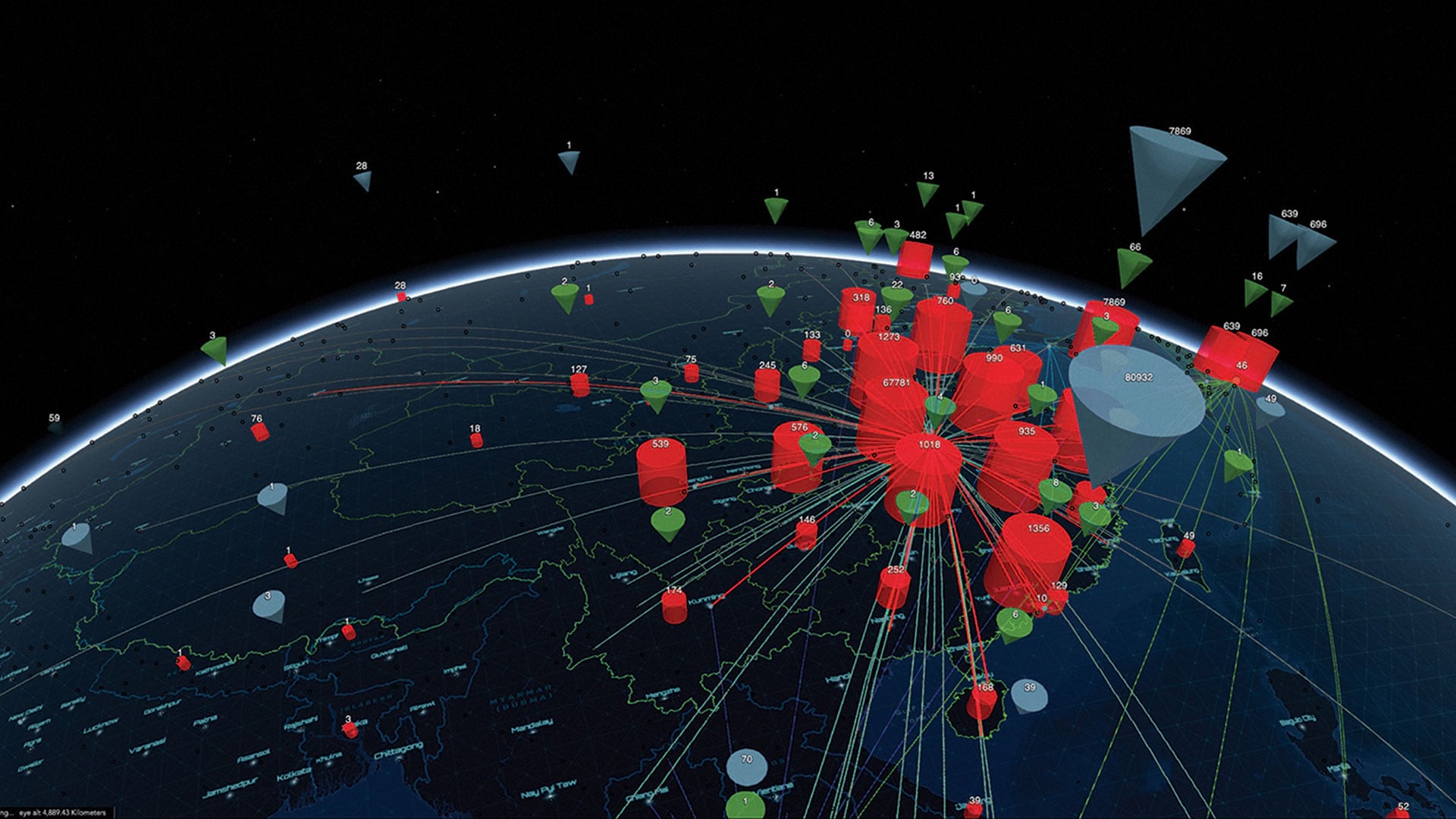
GIS professionals applied GIS in responding swiftly and decisively to the COVID-19 pandemic, demonstrating the value of geospatial thinking.
ArcGIS Hub takes GIS to the next step by answering the question...

Insight without immediate action is not enough. Iterative policy making—addressing issues in real time—is the next shift we need to make.
If you use ArcGIS in any way, shape, or form, Scott Morehouse had a big hand in bringing your software to life.

Esri Story Maps apps help communities tell stories that bring them together and build pride.

New books from Esri Press cover women in GIS, how to govern smarter using GIS technology, switching to ArcGIS Pro from ArcMap, and more.

Creating awareness of earthquake faults was the first step in gathering and sharing data about all hazards experienced in the Philippines.