displaying 873 results
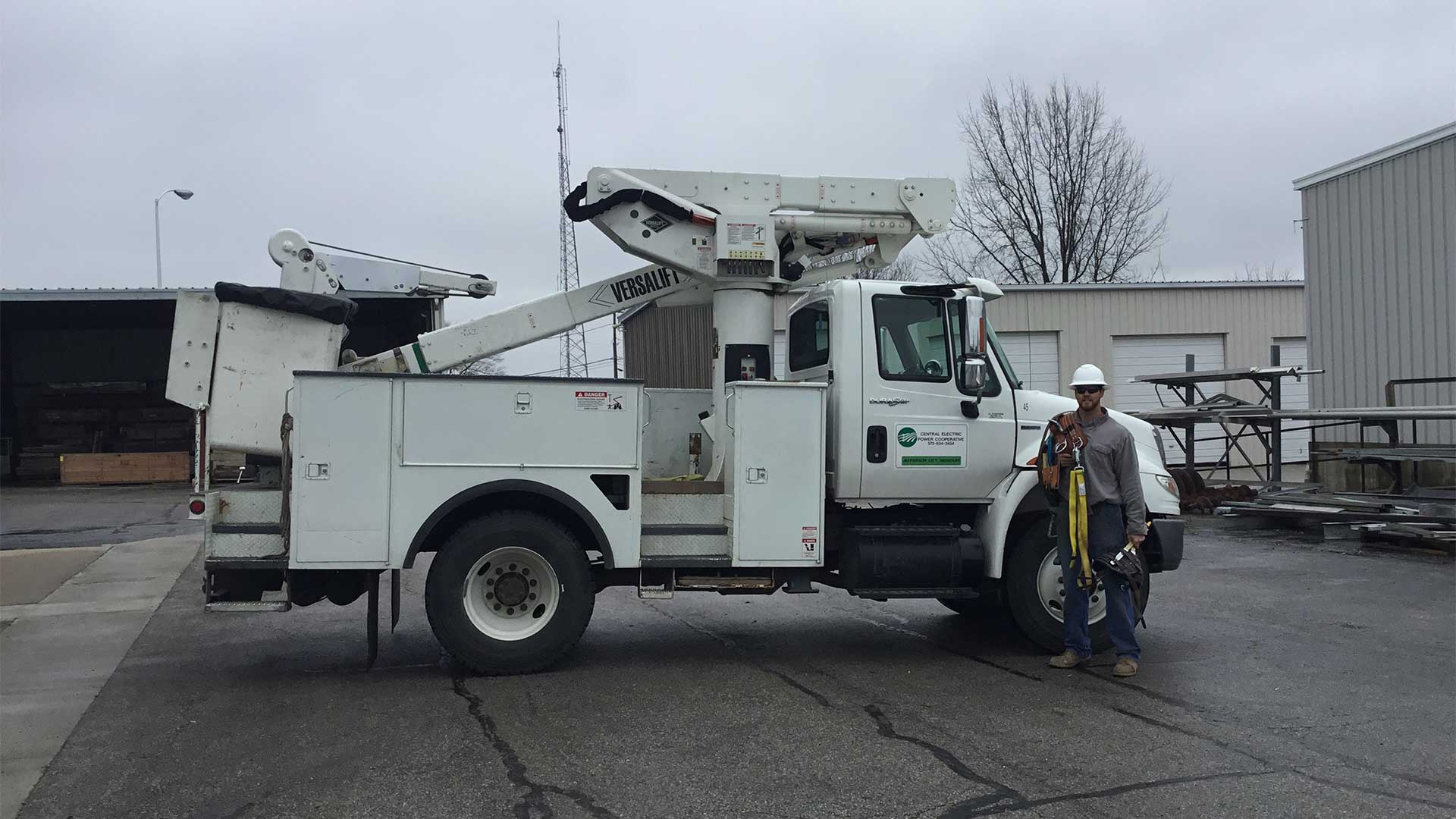
With Collector for ArcGIS, Survey123 for ArcGIS, and Navigator for ArcGIS, Missouri’s Central Electric Power Cooperative is now more efficient.
ArcGIS Runtime 100.9 improves support for online utility networks and other capabilities.
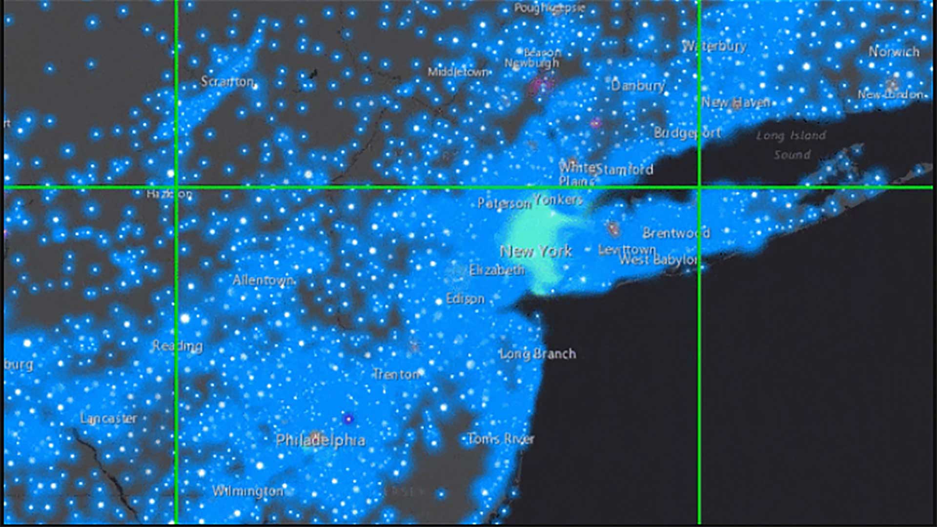
New Jersey American Water has saved millions of dollars each year by mapping water asset locations across the state with pinpoint accuracy.
ArcGIS Runtime SDKs 100.6 is a major milestone in the capabilities it adds.
Esri utilities solution director Bill Meehan lists seven ways to bring your GIS up to date.

A water utility serving 90,000 customers embraces change by placing location intelligence at the center of its operations.

The Los Angeles Department of Water and Power is making spatial data more widely and readily available with ArcGIS Enterprise.

Learn to configure ArcGIS Enterprise, create user-friendly web apps, deploy the ArcGIS Utility Network Management extension, and more.
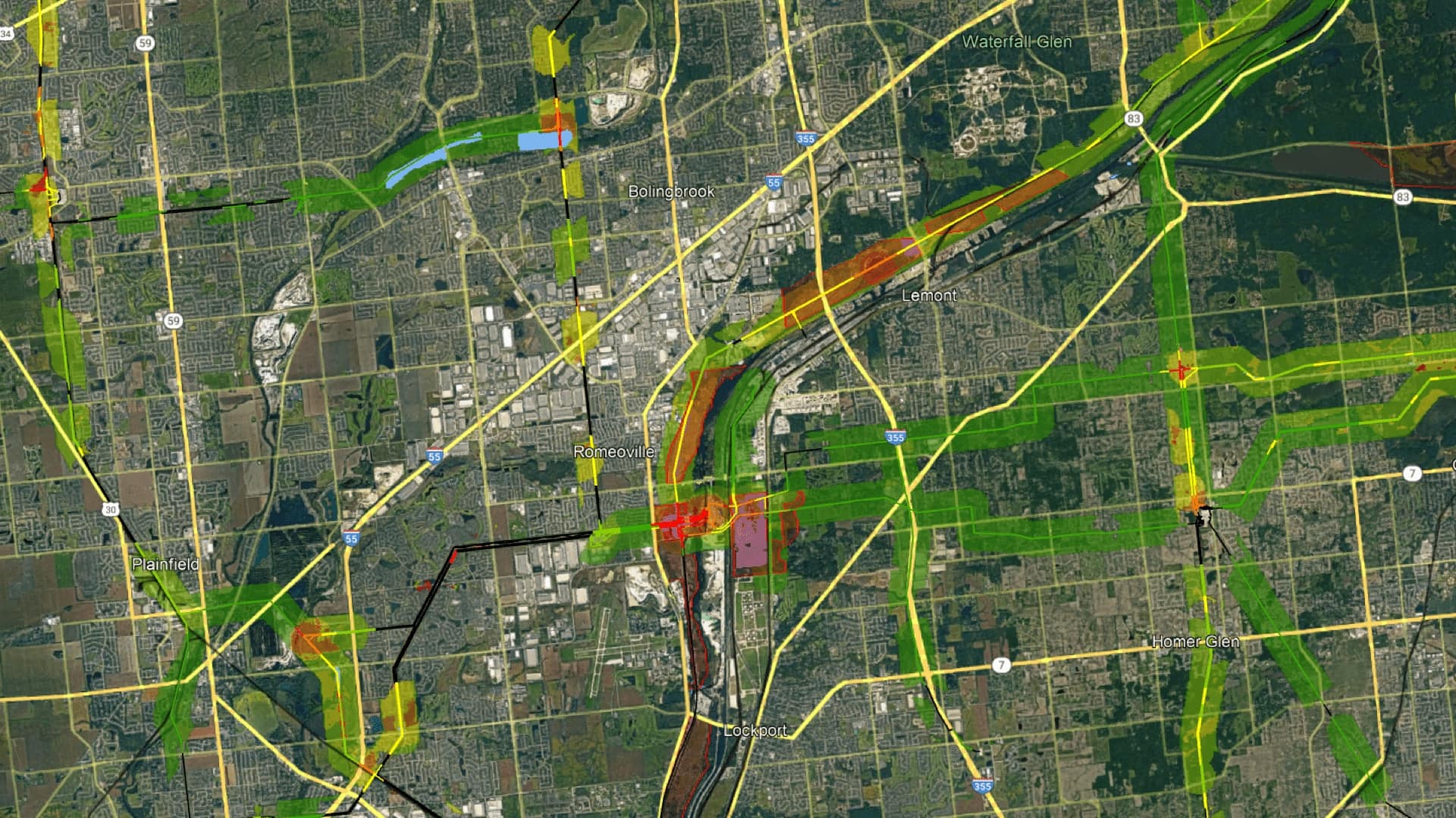
ComEd uses GIS to conduct integrated vegetation management to return land to native prairie habitats to support the monarch butterfly.

At the 2019 Esri Partner Conference, Esri recognized partners in 13 award categories for their expertise and superb ArcGIS implementations.
Those traveling through Edmonton Inter-national Airport (EIA) in Alberta, Canada, recently may have noticed the renovated central terminal and…
Creating accurate maps has always been part of exhibit planning at Desert Botanical Garden in Phoenix, Arizona.