displaying 920 results
At the University of Vermont’s Spatial Analysis Lab, students learn how to use remote sensing to address pressing environmental problems.

With Gilytics’ GIS-based platform, Pathfinder, companies can optimize design, routing, and stakeholder engagement.

See why the Swiss Federal Institute of Technology (ETH Zürich) is a leader in educating students in cartography and geoinformation.
The 2020 Geodesign Summit, which will be held February 24-27, in Redlands, California, will showcase interesting geodesign projects.
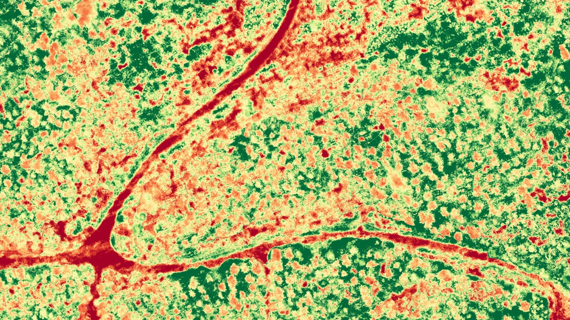
Lacking a legislative mandate that would afford reliable funding, the Georgia Geologic Survey was abolished in 2004 after serving the state...

Esri will continue to participate in ConnectED through 2019, giving even more teachers and schools access to software donations and support.

Following Hurricane Sandy in 2012, the City of Philadelphia, Pennsylvania, began developing its first comprehensive debris management plan...
Errors in maps cast doubt on their reliability and undermine the professionalism of the mapmaker. Plus, errors can be costly.
In May 2012, the ancient cities of Modena and Ferrara in northern Italy were struck by a devastating earthquake.
Esri education manager Joseph Kerski blogs for Green 360, a careers website for high school and college students.
Resource shortages, population growth, and climate change are just a few of the critical problems facing society today. The solutions will requi…
Central Wyoming College (CWC) wants you to earn a degree, credential, or certificate in geospatial information science and technology (GIST)...