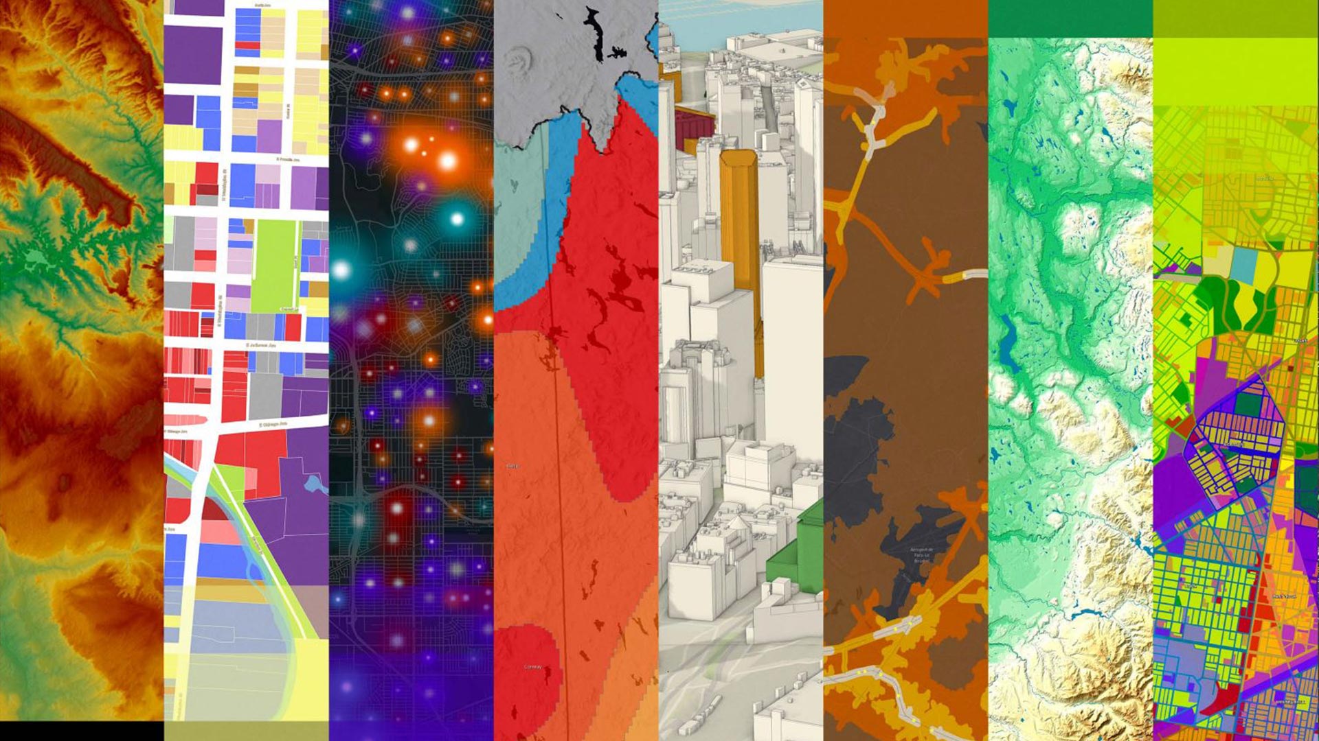
displaying 1363 results
Our list of 99 ideas for how to celebrate GIS Day will kick start your creative juices.
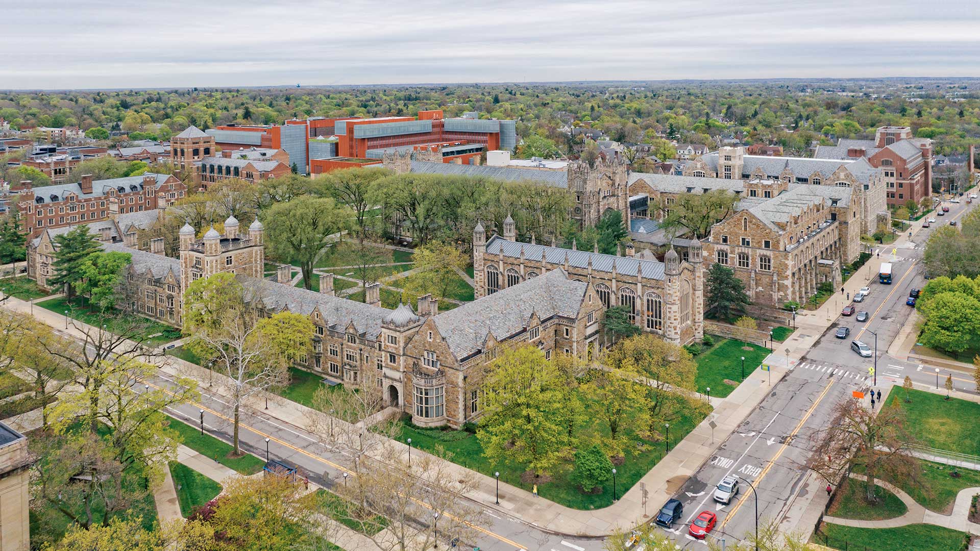
Nespresso, the Louisville/Jefferson County Information Consortium, and the University of Michigan won the top awards at the 2021 Esri UC.

In the free e-book, Extend the Reach of Your GIS, you will Learn to quickly configure your ArcGIS Online organization using best practices.
The release of ArcGIS Enterprise on Kubernetes was just one of several noteworthy announcements at the 2021 Esri Developer Summit.
Find out who won the 2020 ArcGIS StoryMaps Competition and see their stories.

A new mobile app, ArcGIS Field Maps, gives mobile workers a single app that can perform multiple critical field activities.

In 2014, the French government launched Nouveau Programme National de Renouvellement Urbain (NPNRU), its national program for urban renewal.

The winners have been announced in the 2020 ArcGIS StoryMaps Competition for the Sustainable Development Goals.

The Geospatial Semester is an innovative program that lets Virginia high school students earn university credit for geospatial classes.

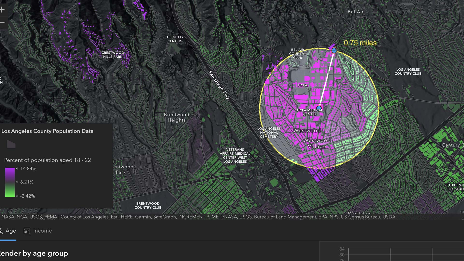
Geographers can serve as interpreter for local interests while speaking for underrepresented communities during the redistricting process.

Featured books from Esri Press focus on several topics including land and park conservation, emergency management, and crime mapping.
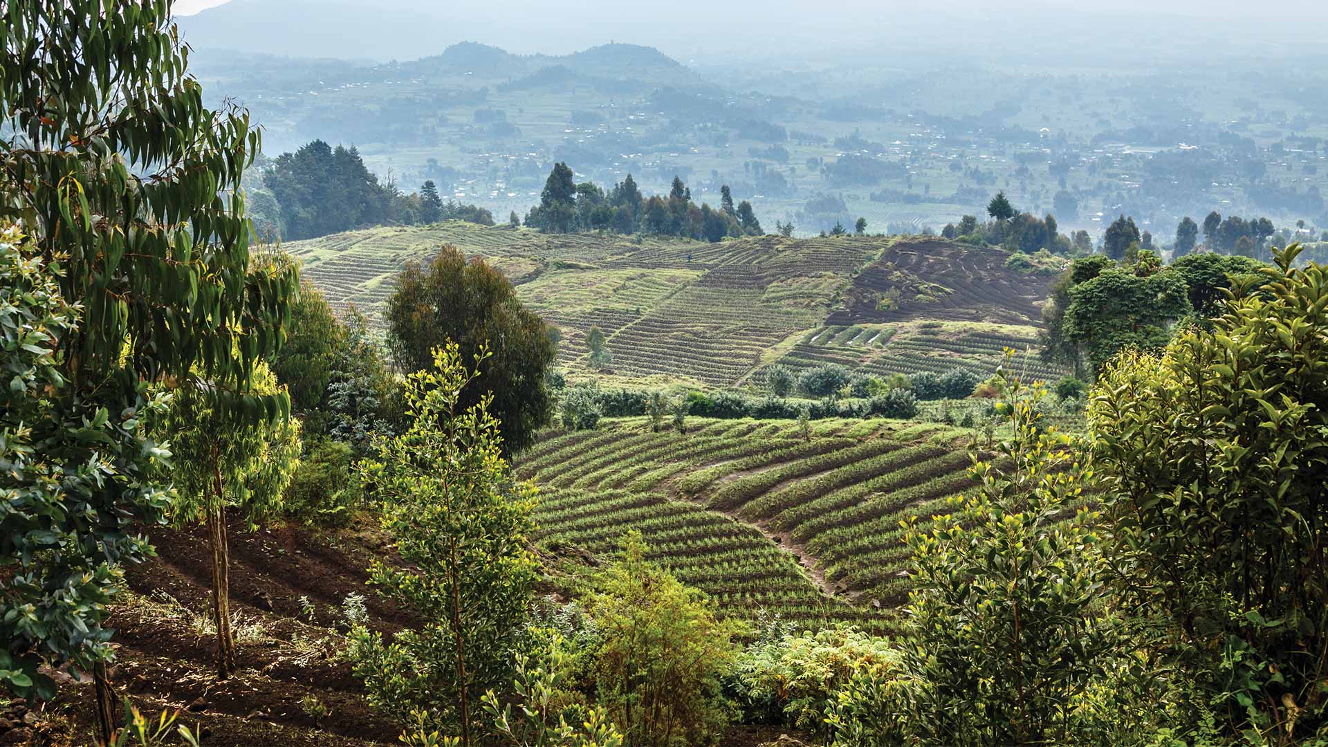
The latest release of the Land Administration Information System in Rwanda is transforming the way the country manages its land.