displaying 1000 results

The country now has a set of authoritative maps that officials can use to monitor objectives and set initiatives for the next 50 years.

According to Forrester, "Esri is pushing beyond the traditional GIS markets that it has long dominated into the location intelligence market."

Andy Dent from CDC discusses the role location intelligence plays in CDC's disease mitigation efforts.

Dr. Jonathan Mayer discusses the relationship between human geography and infectious disease.
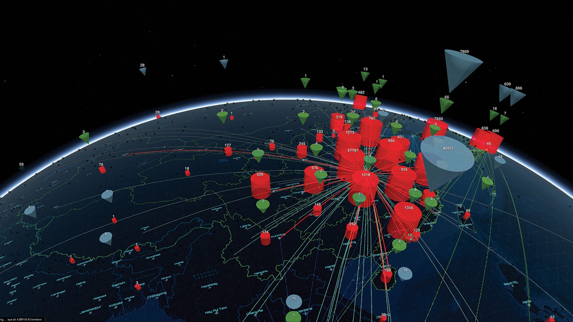
GIS professionals applied GIS in responding swiftly and decisively to the COVID-19 pandemic, demonstrating the value of geospatial thinking.

UAE mapped its growth over 50 years and gained an authoritative map to monitor objectives and initiatives for its next 50 years.

Air pollution is not only a health hazard, it's also bad for business. A new tool helps executives weigh its effects on market development.

Maps help organizations weigh wellness and economic impacts as communities work toward reopening from COVID-19 disruptions.

Spatial analytics proves helpful to combat opioid use disorder, informing researchers on patterns as well as targeting individuals for treatment.

New Esri Press books explore how to collaborate using maps and data, how to use ArcGIS Pro 2.8, and the rich diversity of thematic mapping.
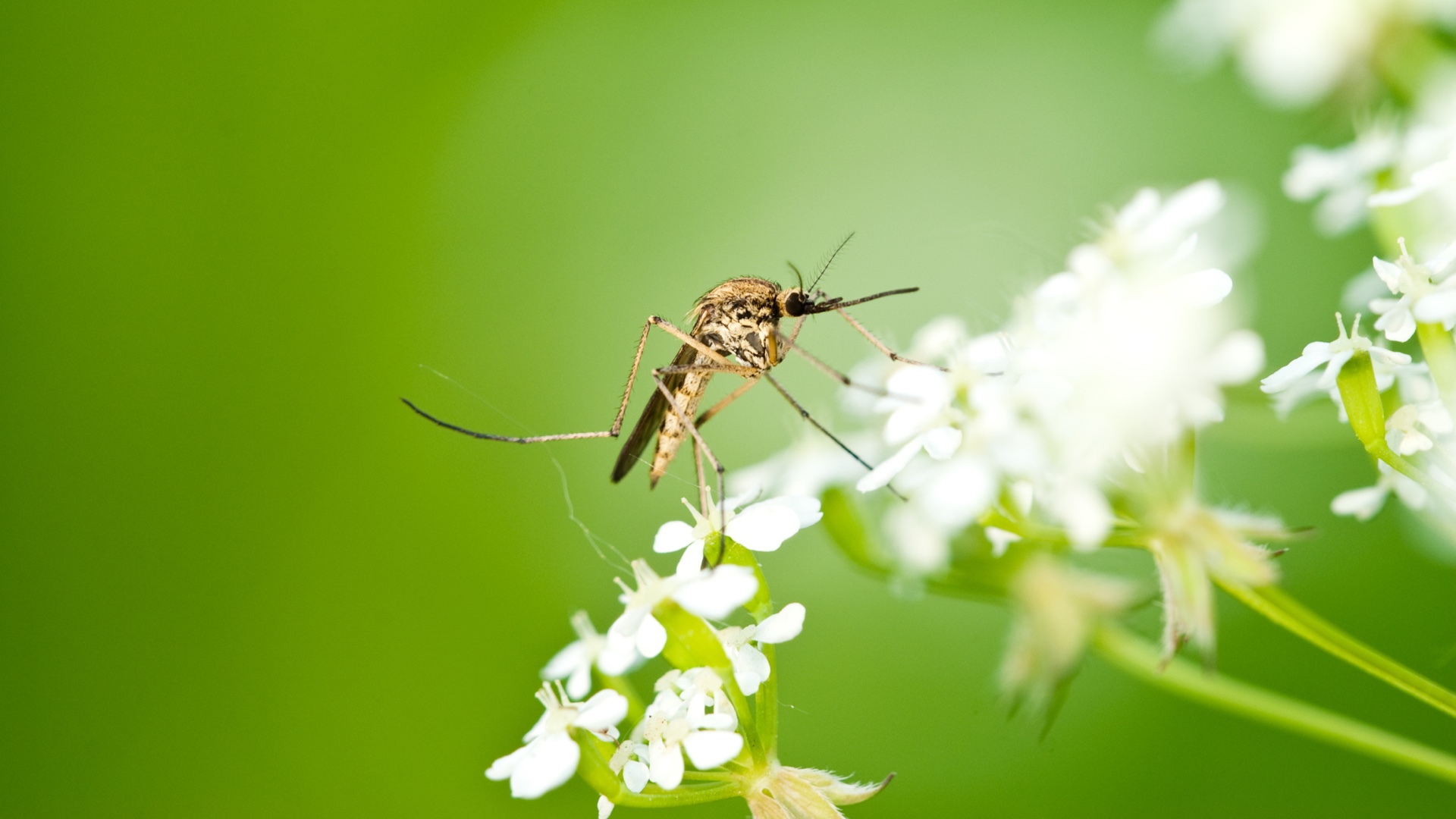
Predictive modeling helps public health professionals understand mosquito behavior and plan a targeted attack to mitigate disease spread.
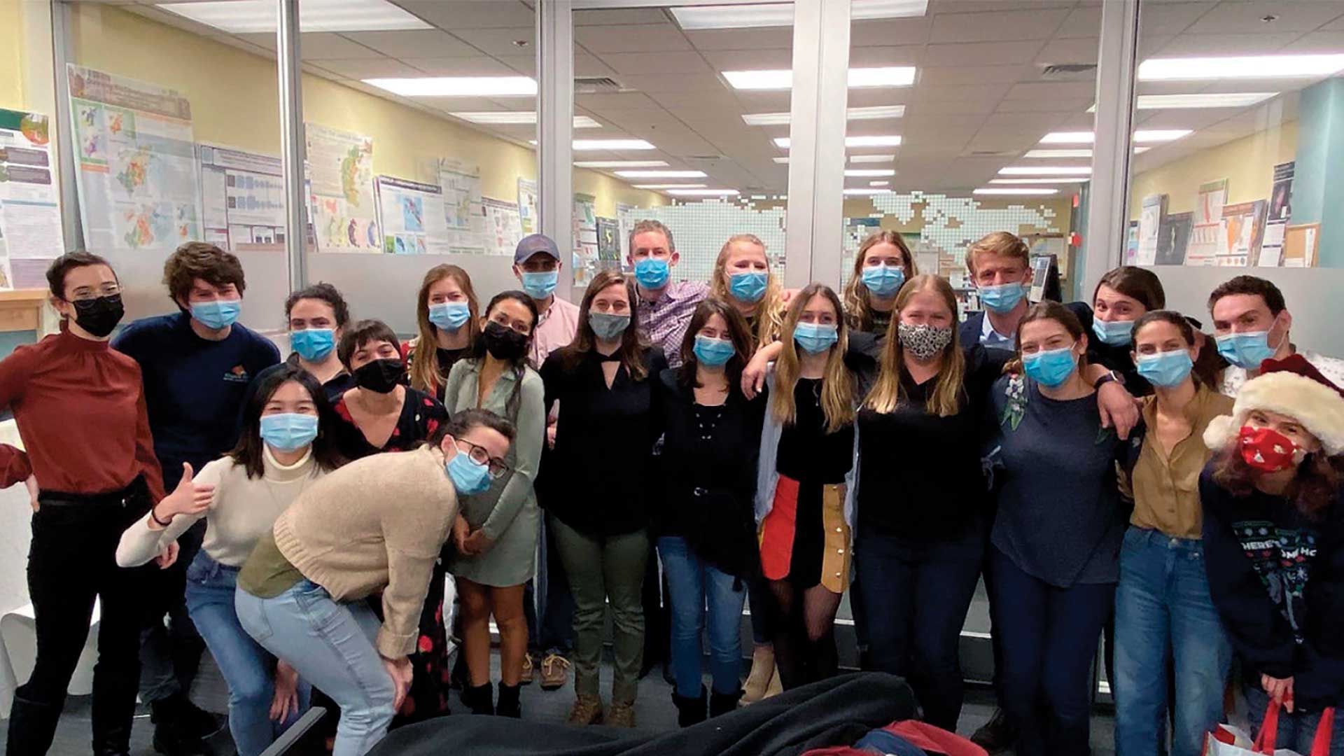
The Master of Science in Conservation Medicine (MCM) program from the Cummings School of Veterinary Medicine has a required GIS course.