displaying 919 results
Natalie Stirrat, Technical Director at Arcadis, details how a geographic approach improves the design of smart infrastructure.
Learn how federal infrastructure programs can provide a gateway to habitat restoration and a more sustainable future.
Esri environment and conservation specialist Sunny Fleming details how geospatial technology is key in preserving local wildlife.
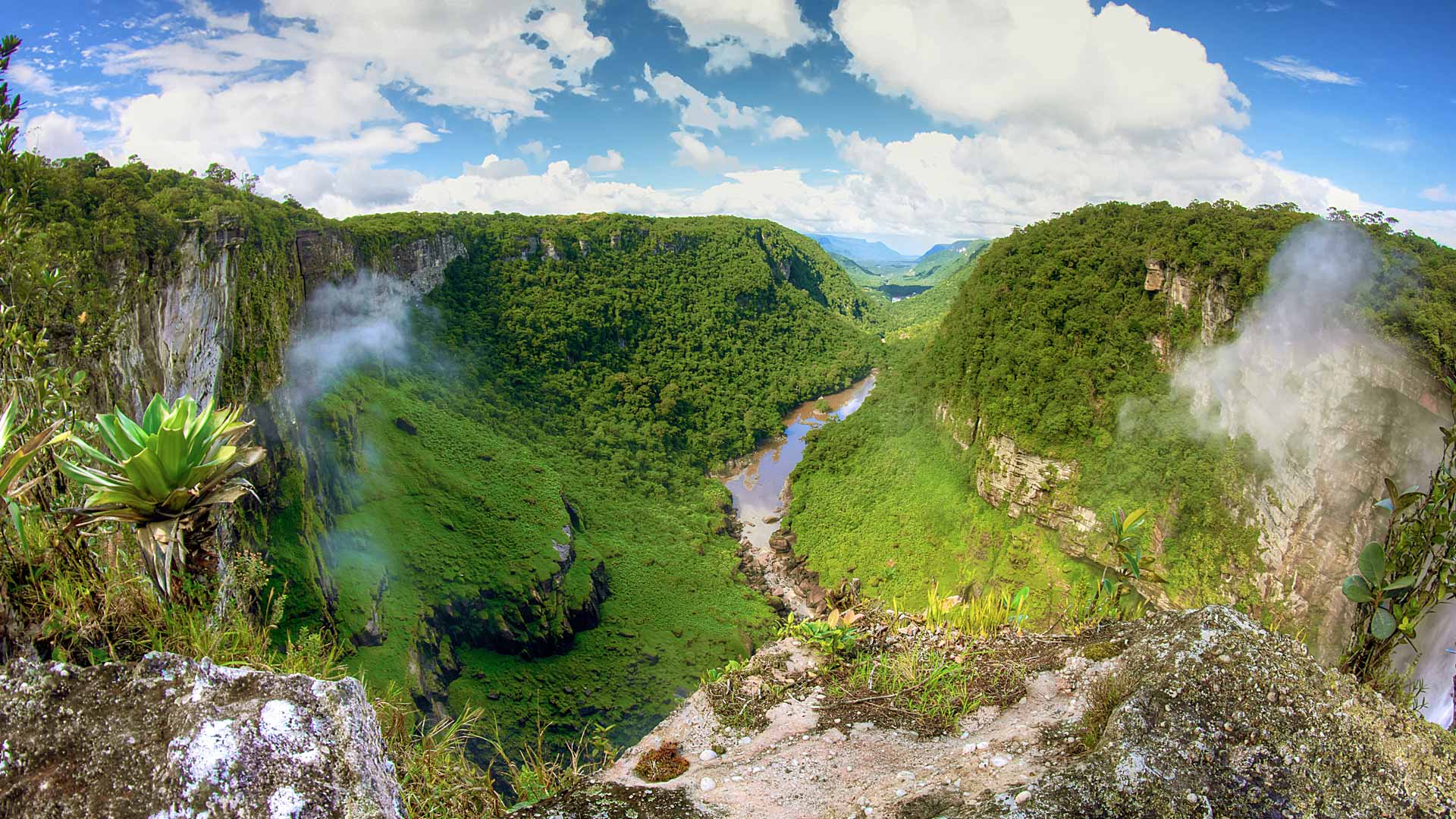
The Guyana Forestry Commission's mission is to prevent deforestation, which protects the rainforests. GIS technology helps achieve this goal.
How can the use of technology reduce heat and create resilient infrastructure in one of the hottest cities in the United States?
This story visually explains the goals of the 30x30 movement to protect and preserve 30 percent of the Earth’s land and water by 2030.

The focus of three new Esri books will be how to use GIS for science, smarter government, and the census with a fourth devoted to geodatabases.
You can use GIS technology to study sea level rise, red tides, acidification, and other ocean-related issues.
Create a game-changing app that will help communities better understand and reduce the impact of climate change on health.
In one study, geneGIS, a new ArcGIS extension, showed that humpback whales return year after year to feeding grounds introduced to them...
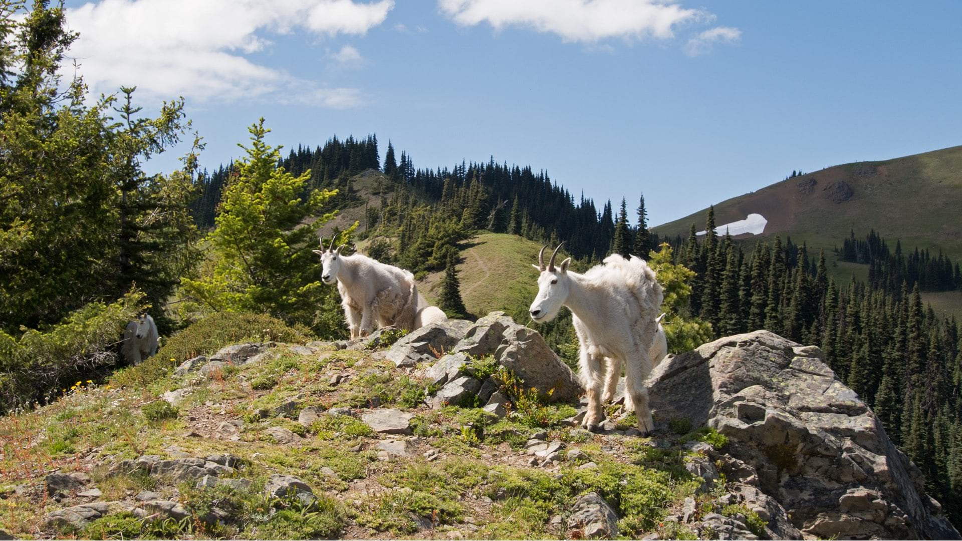
Mountain goats that were not native to Olympic National Park were captured, relocated, and monitored using location intelligence.

With GIS, the University of Minnesota is helping Minnesota counties follow the United Nations' 17 Sustainable Development Goals.