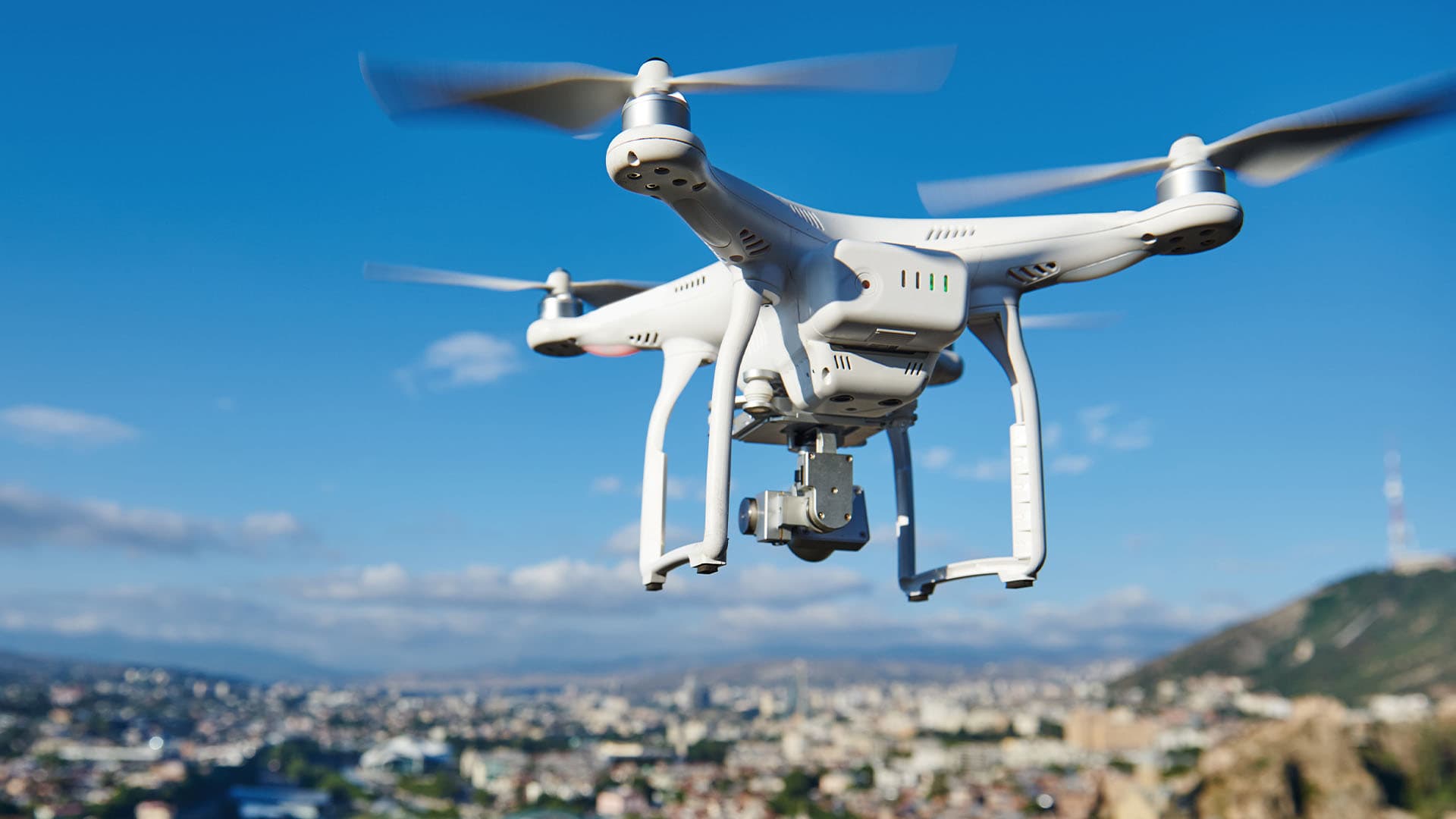
In far-flung areas of the business world, drones are bringing new efficiencies and intelligence to critical operations, guided by the mapping and analytics capabilities of geographic information system (GIS) technology.
Drones armed with a growing arsenal of analytical tools are moving in ways conventional vehicles can’t, reaching destinations faster than their counterparts would, and seeing and understanding the world in ways that would be impossible or prohibitively expensive for humans to attempt.
A recent WhereNext webcast on location intelligence in unexpected places highlighted how these aerial assistants have evolved. From delivering customer orders for the largest retailer in the world to simplifying trail maintenance for a beloved Colorado resort, drones are making businesses faster, more innovative, and more precise.
In this video clip, those companies reveal how they’ve paired drones with GIS, and where they’re seeing the benefits.
Chris Chiappinelli, WhereNext: What’s one way that you use GIS or location awareness that might surprise someone? Heather, do you want to start off?
Heather Gamper, Walmart: I guess many of you probably don’t know, but you can get groceries and other items delivered from some Walmart stores via drone. So you literally could have a box of Pop-Tarts landing in your backyard.
I’ve been fortunate to be able to support some of the drone delivery initiatives. I’ve helped make web mapping applications to help them in their initial market selection and site selection. I brought data pieces together and brought them to light—things like FAA safe-flight zones or no-flight zones, things like wind speed, temperature. Then I will combine this with some of the more typical work streams.
And then with the drone team, I set them in the right direction, give them a platform that they can iterate off of, but they take the details over and they take it from there. But the drone delivery is a neat part of the Walmart ecosystem.
Chiappinelli: Jake, do you want to [weigh in]?
Jake Ingle, Steamboat Ski Resort: Like I mentioned before, we use quite a bit of drone and GIS technology to map our snowpack in the winter. But the one use case that I’ve found is our summertime work. The past four summers we’ve been involved in a project called Full Steam Ahead, where we basically put ductile iron pipe for a new snowmaking system from the bottom of our mountain all the way to the top.
And what we found is tracking, A, where we put those assets in the ground, we can go and find those again later. And then using our ortho maps and our drone technology to kind of plan those excavation processes has been crucial in just the planning phase of it, but also in the execution of it. Being able to give our field crews very precise pictures and maps as to where to install these pipelines and how to go about doing it has been a huge win for Steamboat.
The other thing that I would mention with that is when we get done with these grading and pipeline projects, we go back and we put the trails back to their native state, and we do a bunch of re-veg work and storm water management. And we track all that with our drone, and we monitor the growth of these native grasses throughout the next couple summers to make sure that that comes back to its natural state before we excavated that dirt. That’s been a really cool use case for our drones to track that native growth of those grasses. And that’s been a really cool piece that we found to be very useful.
The Esri Brief
Trending insights from WhereNext and other leading publicationsTrending articles

December 5, 2024 |

June 23, 2026 |

March 3, 2026 |

April 7, 2026 |

March 17, 2026 |

June 2, 2026 |