When assessing AI’s role in modern business, most observers agree we need humans supervising AI activities. The technology isn’t ready to work independently.
Gregg Katz has a theory on how this affects the places where we live, work, and shop. The commercial real estate veteran knows how data influences retail plazas, office complexes, and mixed-use venues. As companies integrate AI into location analysis, Katz thinks they may risk losing one of their best sources of data.
In this Fast Four interview, Katz explains how to blend AI and GIS technology with one of the most reliable tools in real estate—the human sensor. View the conversation below, and check out other insightful interviews in the Fast Four library.
Gregg, you’ve been in commercial real estate most of your career, and you’re noticing an interesting phenomenon lately. What are you seeing?
I’m seeing a very interesting shift as the data becomes more prevalent, more readily available. Now, especially with AI making it easier to consume and spit out insights from that data, I think people tend to leave behind one of the best sensors that there is in the business, and that is the broker and the real estate manager—what the boots on the ground tells you and what that means to the overall analysis.
What kind of data comes from that human sensor, as you say—the broker?
There’s several different facets to that. One is that you can see a demographic trend before it starts to happen. You’re also seeing things like what property can become available ahead of time.
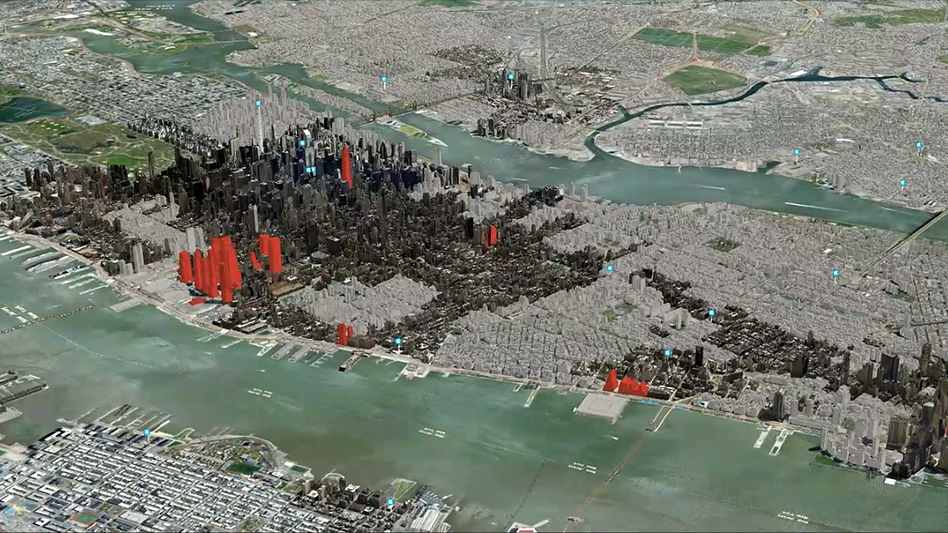
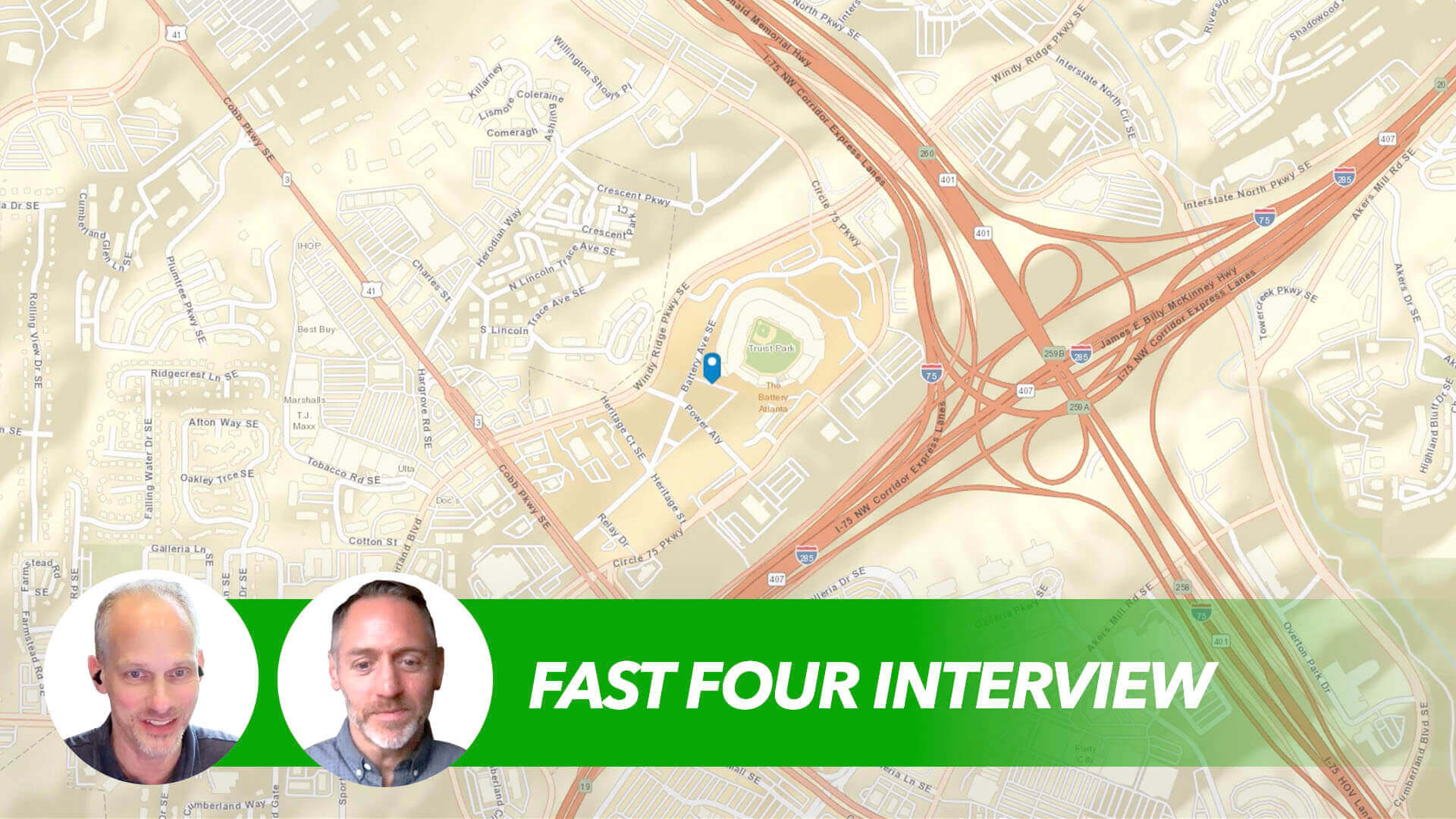
As an example, something like The Battery in Atlanta, which is where the Atlanta Braves relocated their stadium several years back. With that, there was this huge complex of retail and entertainment that started to—as soon as it was announced—shift what was happening on the ground. Over the years of the construction and the openings and everything that went with it, the trade area [shifted] from what was across the interstate, which was Cumberland Mall, a super regional mall that was very prevalent in the Atlanta area and a destination location.
[We] started to see a pattern of traffic shifting from that to The Battery, and because of the interstate, it was almost like two different trade areas. So, it created really interesting dynamics that local market knowledge picked up on way before the data would show anything.
How do you combine the human sensor with the modern tools like AI and GIS software?
You’re talking about telling the story, and the best way to tell the story is through GIS and through the map. What you see a lot of companies doing is combining the art and the science, or the local and the other data points, and telling that story on a medium that allows you to create a visual that can be given to the CEO or can be given to those that were doing the boots on the ground.
We had a furniture company that was looking at how to expand out in a market. As they looked, they had their data of who they thought their customer was. And that customer, according to them, was female, around 35 years old, predominantly white, and average [to] middle income. As we dug into that and started asking questions and looking at the parking lot and looking at what type of cars they drove, we saw a key customer being Hispanic and actually lower middle income, family oriented, and actually skewed more male than female.
It was a big surprise to this retailer. But as they started to investigate and look at the boots on the ground as well, they started to see that, yes, both customers were important, but the customer that the local market knowledge is picking up on was probably their MVP, from a customer perspective.
What are benefits when a commercial real estate firm or another company can combine that boots-on-the-ground perspective with new tools like AI and GIS?
Blending all of this together and taking the art and the science—the local data plus the data through AI or through all the different data sources that are out there—and combining them for a full 360 view, it allows you to see everything that you need to see.
It really is about de-risking the decision and doing it in a language or a story that everyone can understand, from the CEO right down to the people that are making it happen—construction, real estate, et cetera.
It’s a good reminder that the art and science of placemaking are really what make a place—and how things are changing in that world. Thanks for your perspective, Gregg.
The Esri Brief
Trending insights from WhereNext and other leading publicationsTrending articles

December 5, 2024 |

March 3, 2026 |

June 23, 2026 |

March 17, 2026 |

April 7, 2026 |

June 9, 2026 |