displaying 25 results
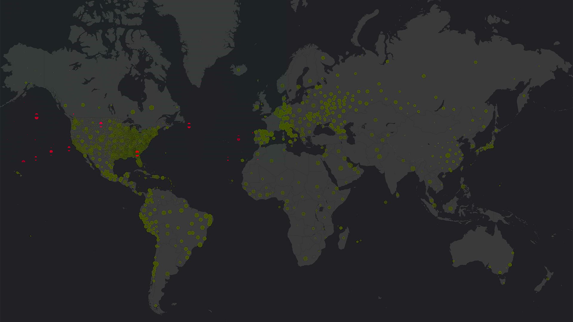
Health ministries, nonprofits, hospitals, and municipalities used GIS to locate cases of COVID-19, predict its spread, and start reopening.
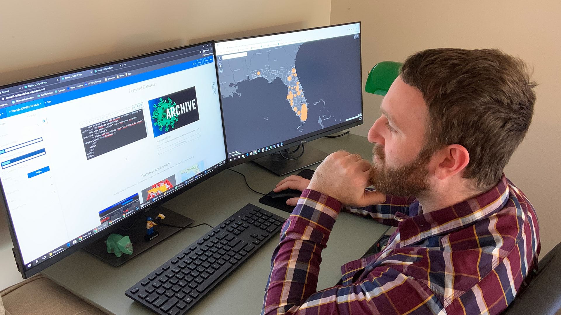
Open data sites help residents and local officials protect their communities, stay safe, and prevent infections.

The 2020 Esri User Conference is going virtual, and Esri is providing free software to a range of groups affected by COVID-19.

Esri’s Disaster Response Program received more requests for assistance in the first few months of the COVID-19 pandemic than it ever had.
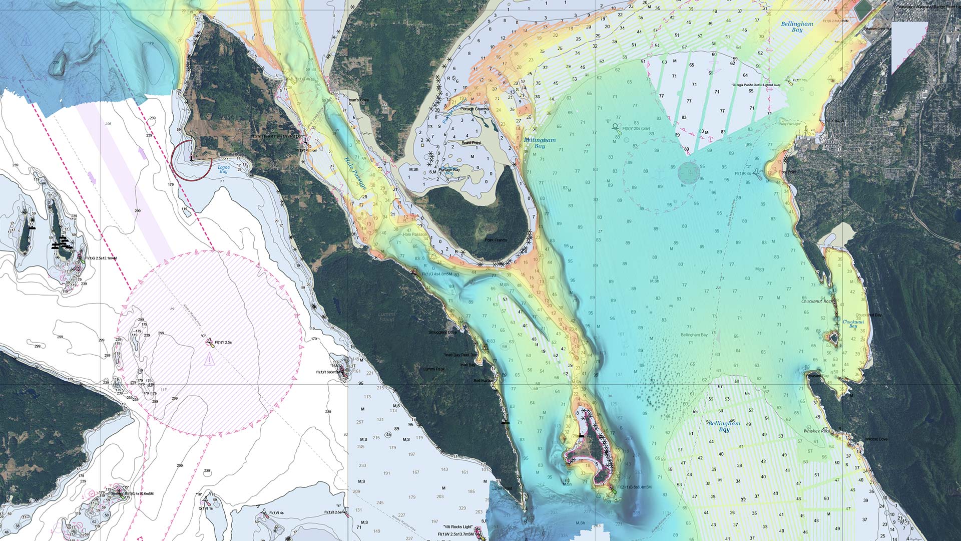
Hydrographic offices are starting to move away from making traditional paper charts and more toward producing charts on demand.
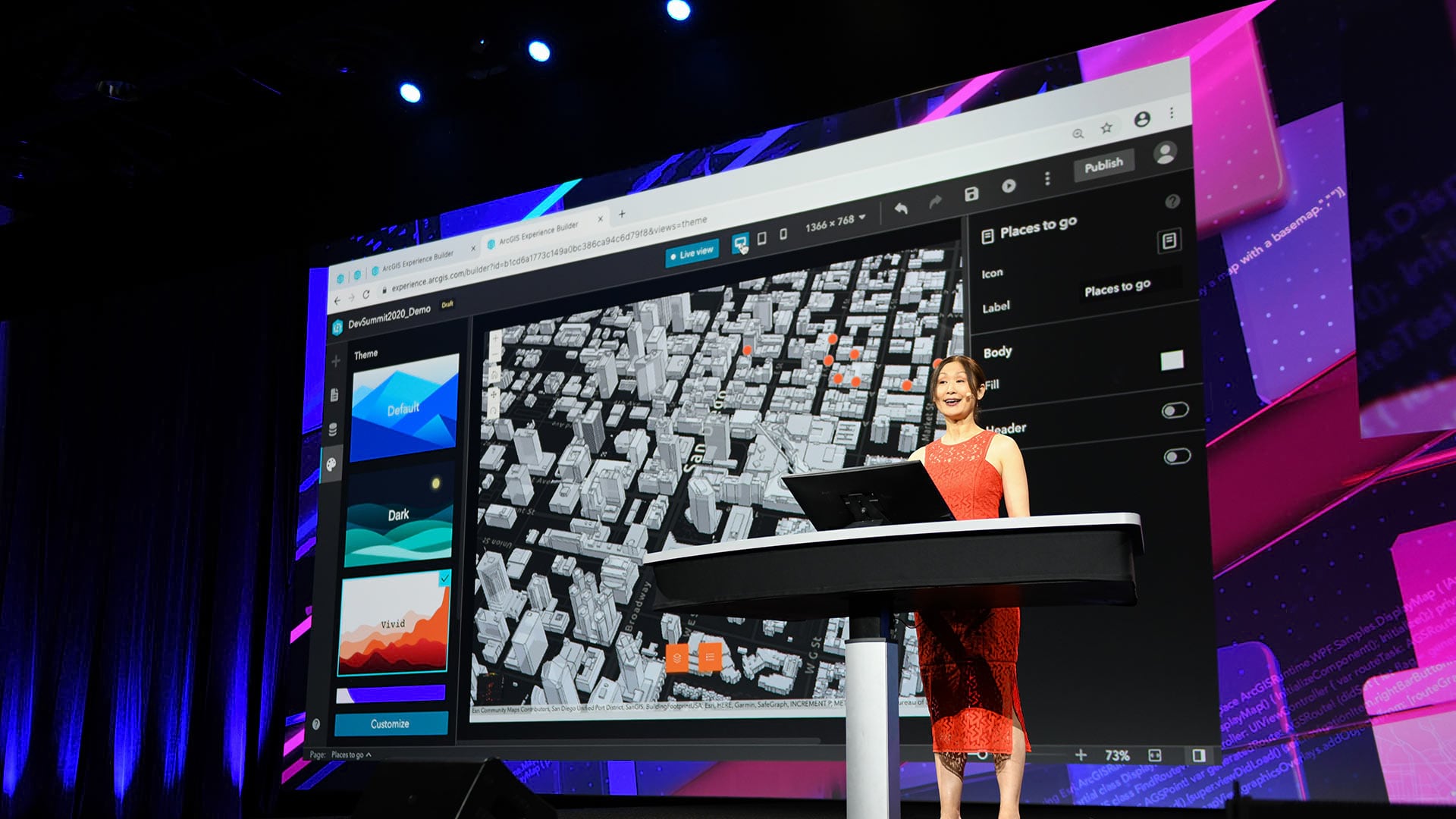
Developers who tuned into the 2020 Esri Developer Summit, held online, heard about the most up-to-date innovations in ArcGIS technology.
ArcGIS Mission helps teams better understand their operations, make informed decisions in real time, and gain intelligence.
ArcGIS Notebooks is now available across the ArcGIS platform.

The March update to ArcGIS Online includes new 3D capabilities, a refreshed user profile page, and additional editing permissions.
Esri launched the Storyteller user type to give users a more affordable way create digital narratives using ArcGIS web maps and app content.

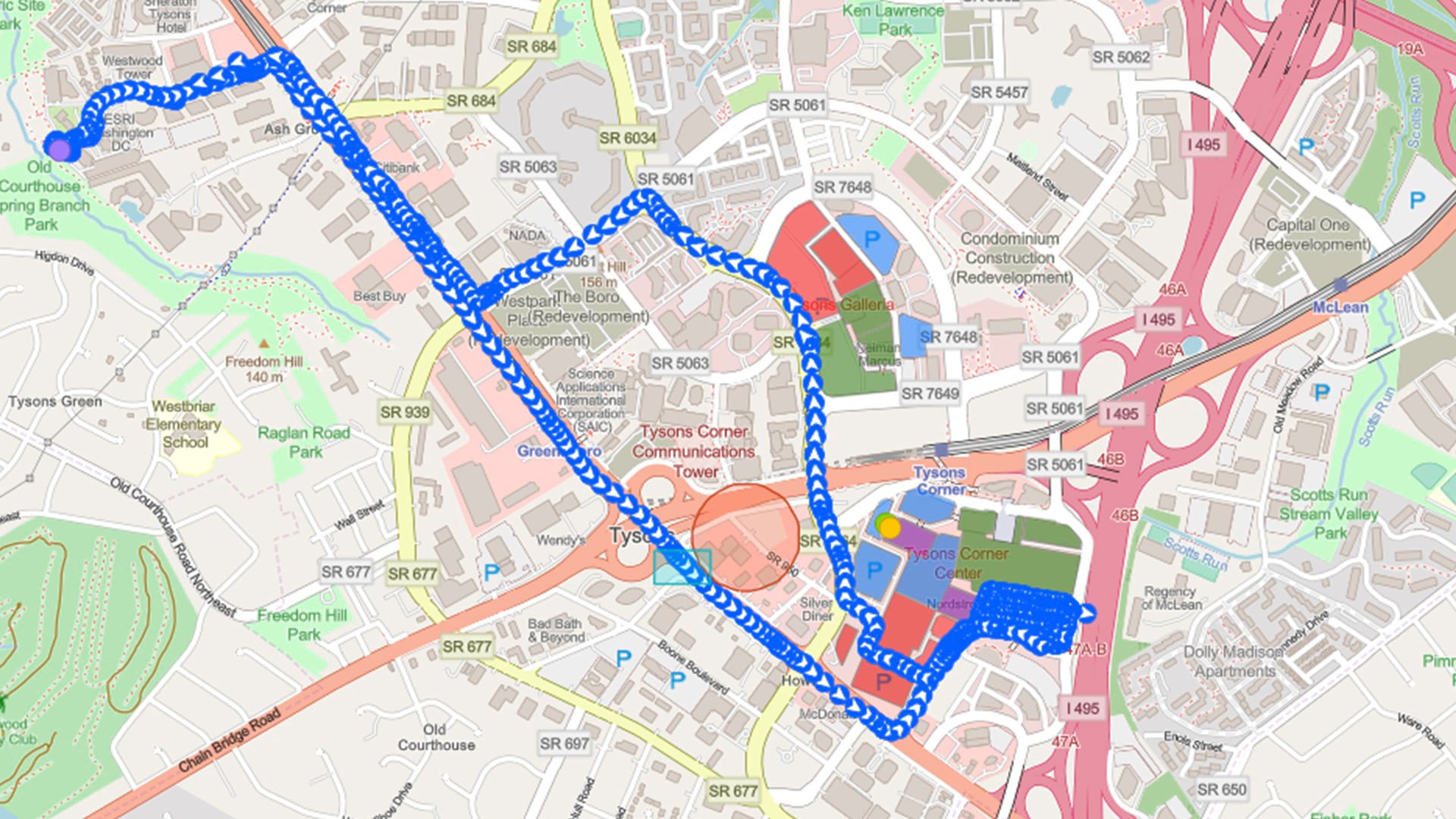
The Burnaby Public Library uses ArcGIS Navigator to efficiently deliver books to patrons who are unable to make visits themselves.

Students at Villanova University were able to use the technology to continue learning and discover trends and patterns in their data.