displaying 25 results

Real-time snowplow monitoring proves successful, opening doors to implement the cloud-based product for additional public works projects.
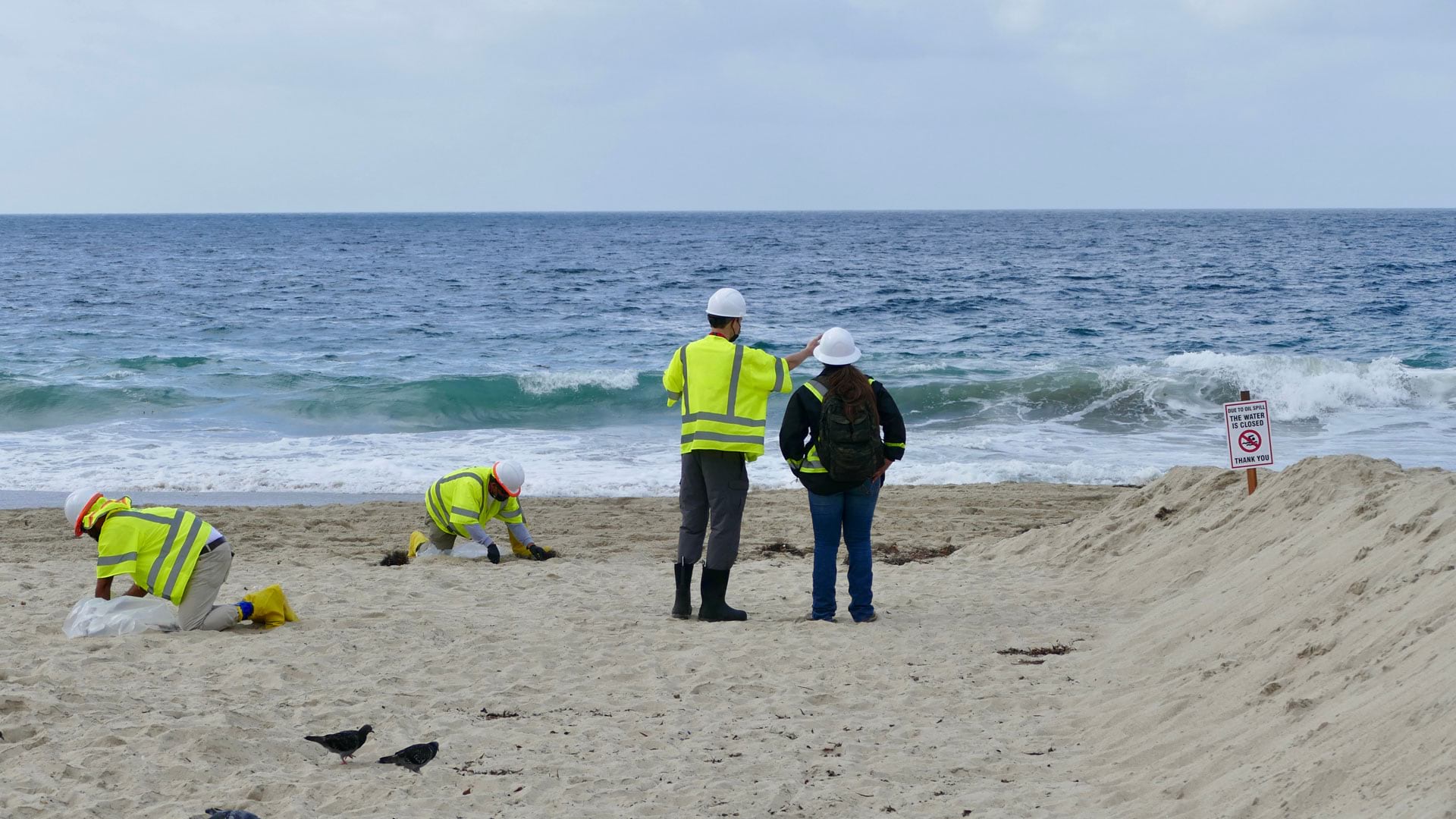
After 25,000 gallons of crude oil spewed into the Pacific Ocean, the Surfrider Foundation leveraged location to streamline data collection.

Find out about a new way to analyze social equity initiatives, plus nuanced population change data is now available in ArcGIS.
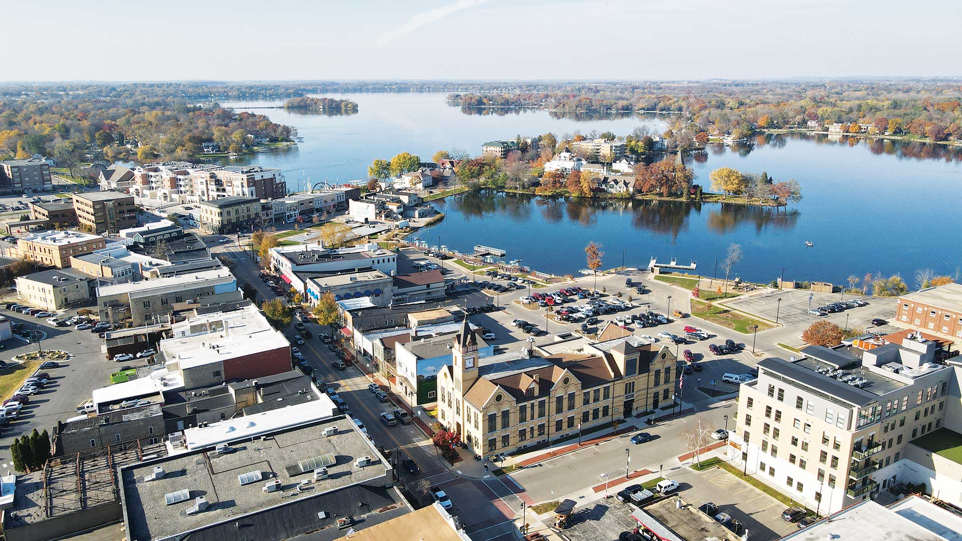
Streamlining data collection allowed the City of Oconomowoc, Wisconsin, to better identify suspected lead pipes and start replacing them.

ArcGIS Indoors is available in three options, making it easier for organizations to extend their existing ArcGIS systems for indoor needs.

With its ability to nimbly transform data into impactful visualizations, the scripting language can be a key part of efficient workflows.

Recent updates to the app make it easier to design more sophisticated forms and make the data collection experience more efficient.
While searching for the four-year-old girl and her dog in a rural area, the massive search party relied on real-time GIS to track progress.

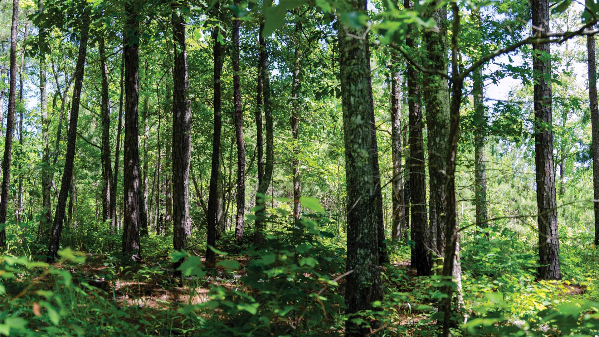
By implementing new GIS technology, the South American country can track land-cover change more frequently and with greater accuracy.
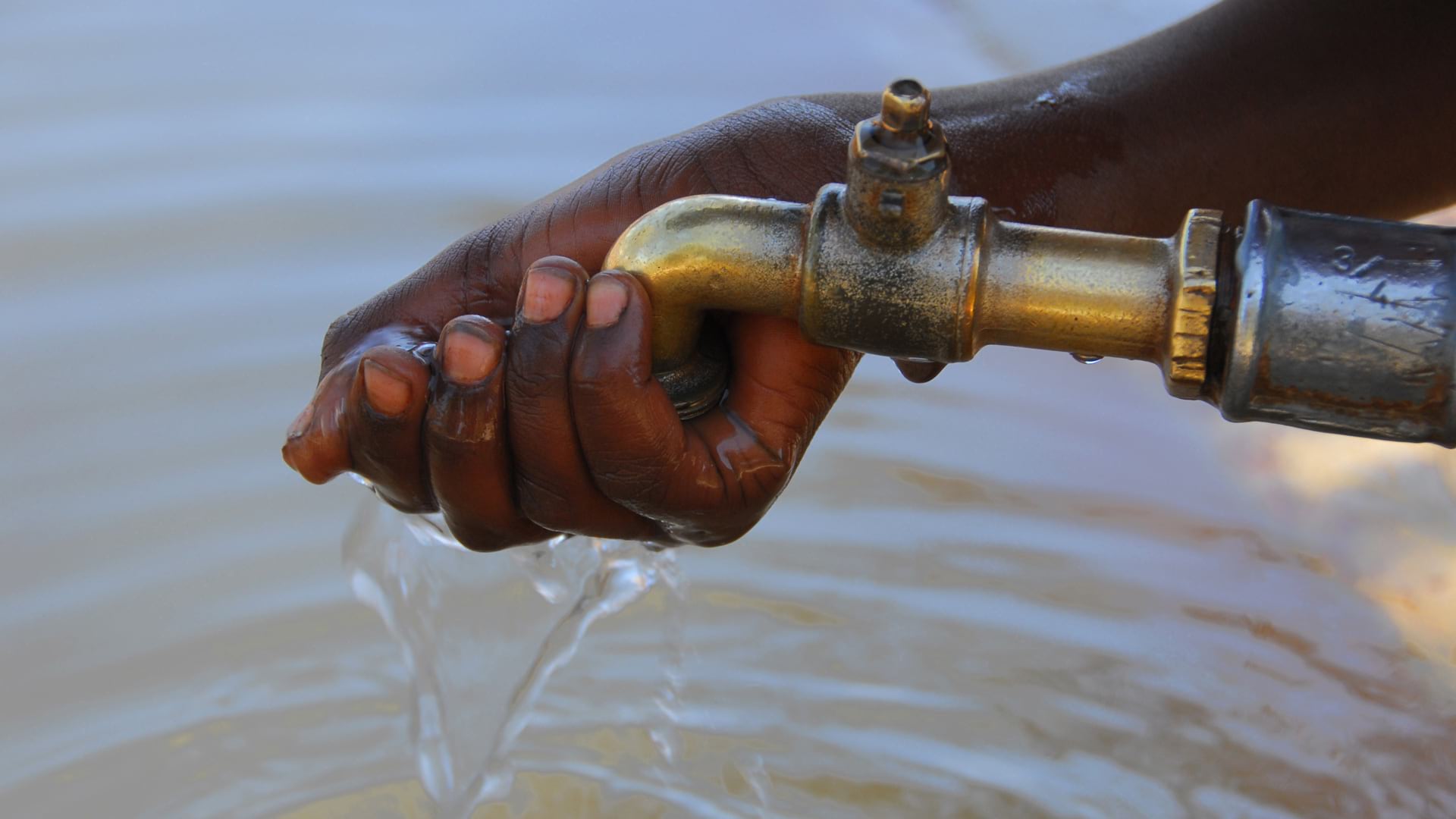
To identify areas with inadequate facilities, the organization used GIS at the village level—and is making progress in improving assets.

A comprehensive ArcGIS Hub site aggregates data on waterways, making it accessible to the public and easier to use for collaboration.

The Lower Valley Water District adopted a GIS-centric approach to investigating unusual spikes in water use in El Paso County, Texas.