displaying 21 results

At the 2022 Esri User Conference, presenters and attendees showed how innovative the GIS community can be when solving complex problems.
The Climate Mapping for Resilience and Adaptation portal is helping communities make data-driven decisions when faced with natural hazards.

A new grant from Esri gives nonprofit organizations free geospatial software, and find out how to celebrate GIS Day!

The GIS user community is key to figuring out which beaches around the world are consistently fouled by plastic and how to clean them up.

With ArcGIS GeoAnalytics Engine, it takes minutes—rather than hours or days—to process massive volumes of spatial data.

ArcGIS Pro and ArcGIS Enterprise now offer support for connecting to cloud data warehouses and publishing the data that’s stored there.
Recent updates focused on real-time and big data analysis, working with imagery, additional options for designing urban plans, and more.

Government agency Infrabel developed two GIS-based apps that track train and worker movements—in some cases, down to the subfoot level.

Thanks to three new data models, capital improvement projects have been streamlined to better meet the airport’s current and future needs.

The country now has a set of authoritative maps that officials can use to monitor objectives and set initiatives for the next 50 years.

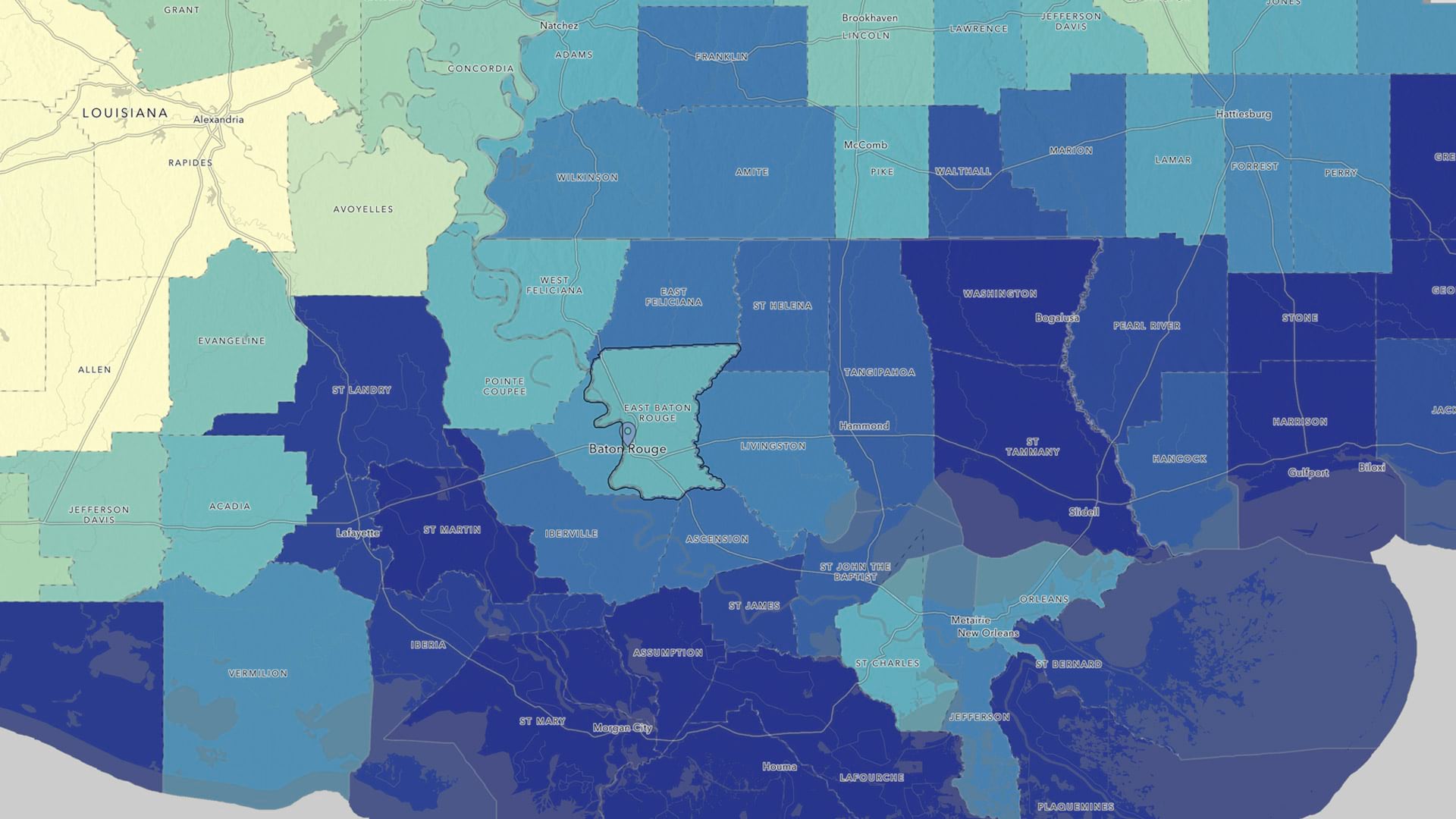
A comprehensive, ArcGIS technology-based solution helps Carlsbad, California, keep up with maintenance on pollution-catching structures.

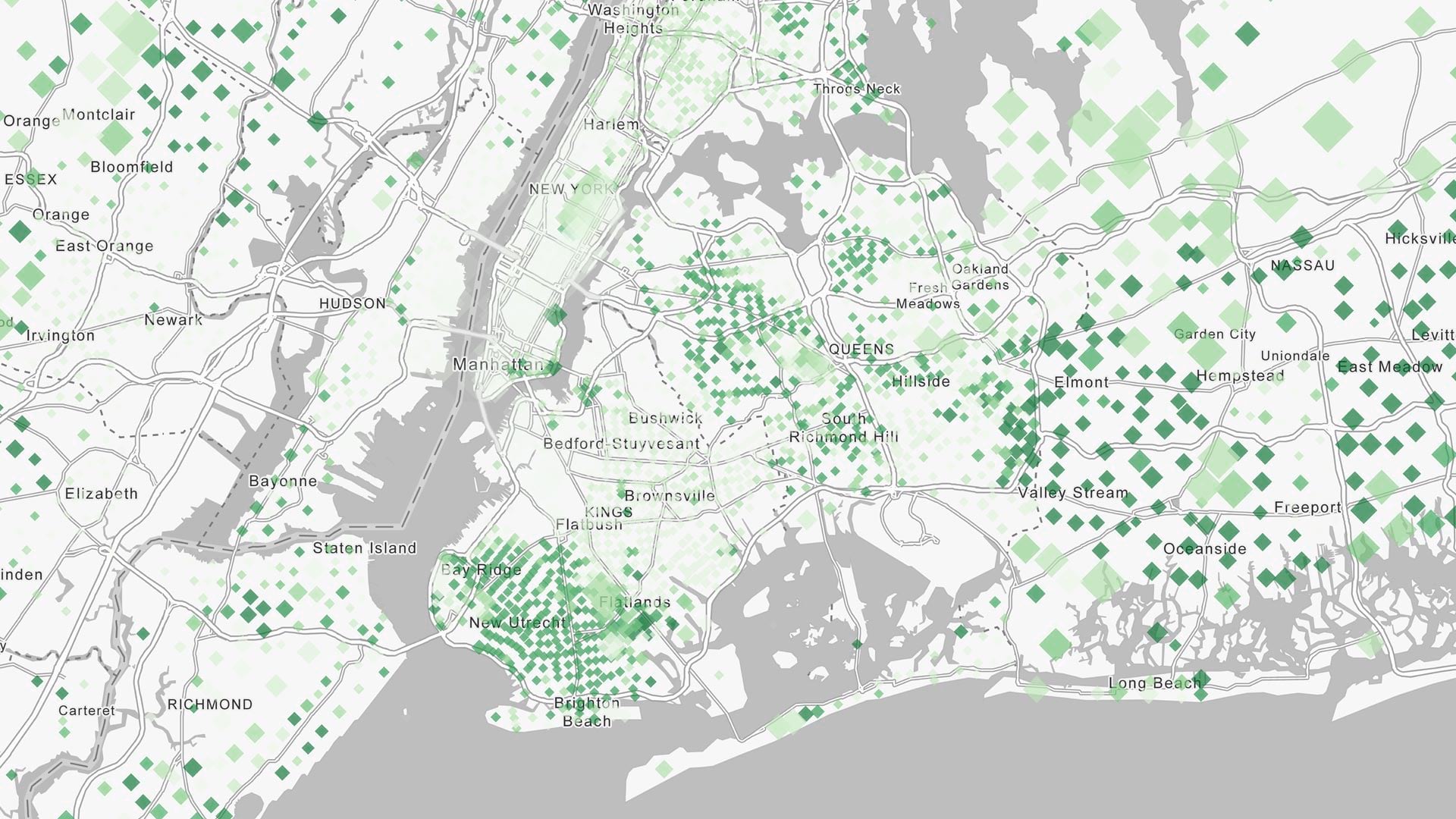
Tasked with helping police locate hot spots for traffic stops and collisions, David Ho used ArcGIS Experience Builder to visualize the data.