displaying 17 results
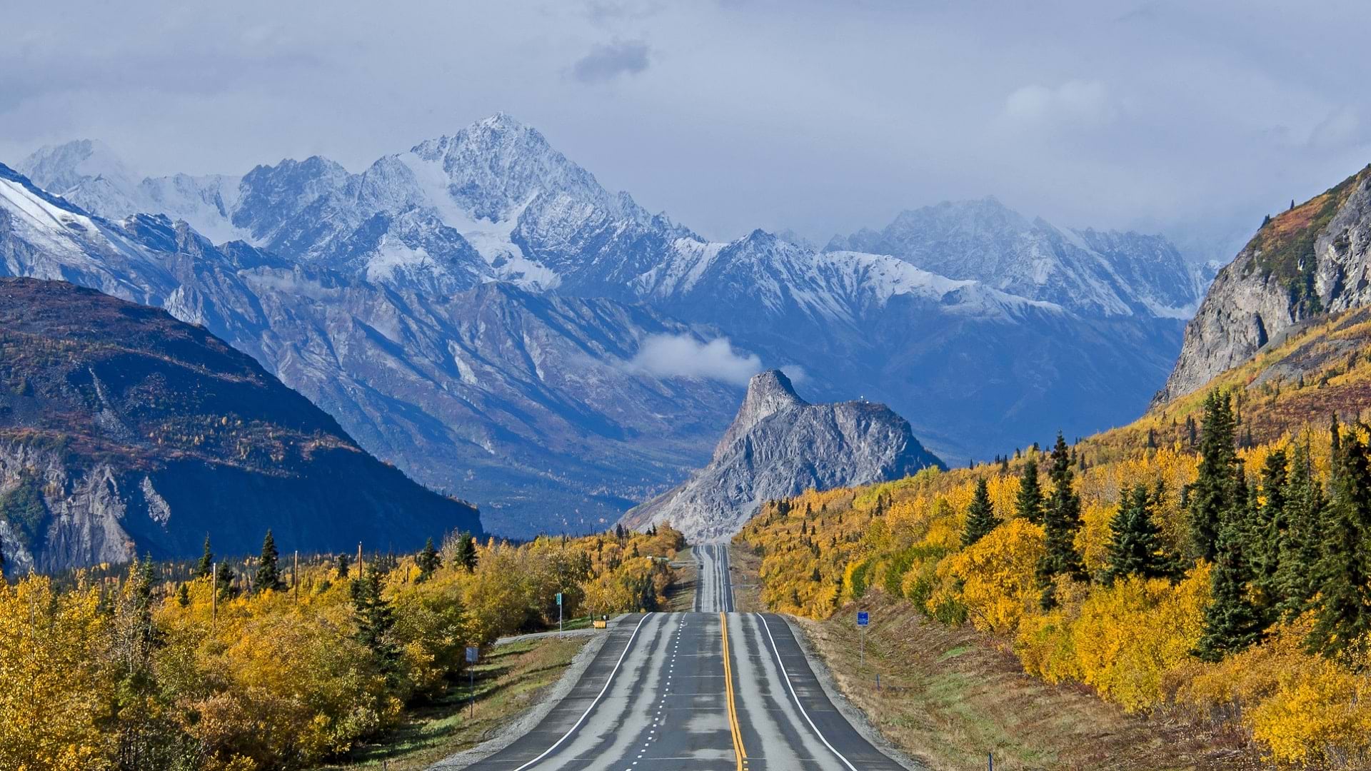
Ellie Hakari's nontraditional path to GIS has led her to Alaska DOT&PF, where she uses GIS to help maintain the integrity of state roads.
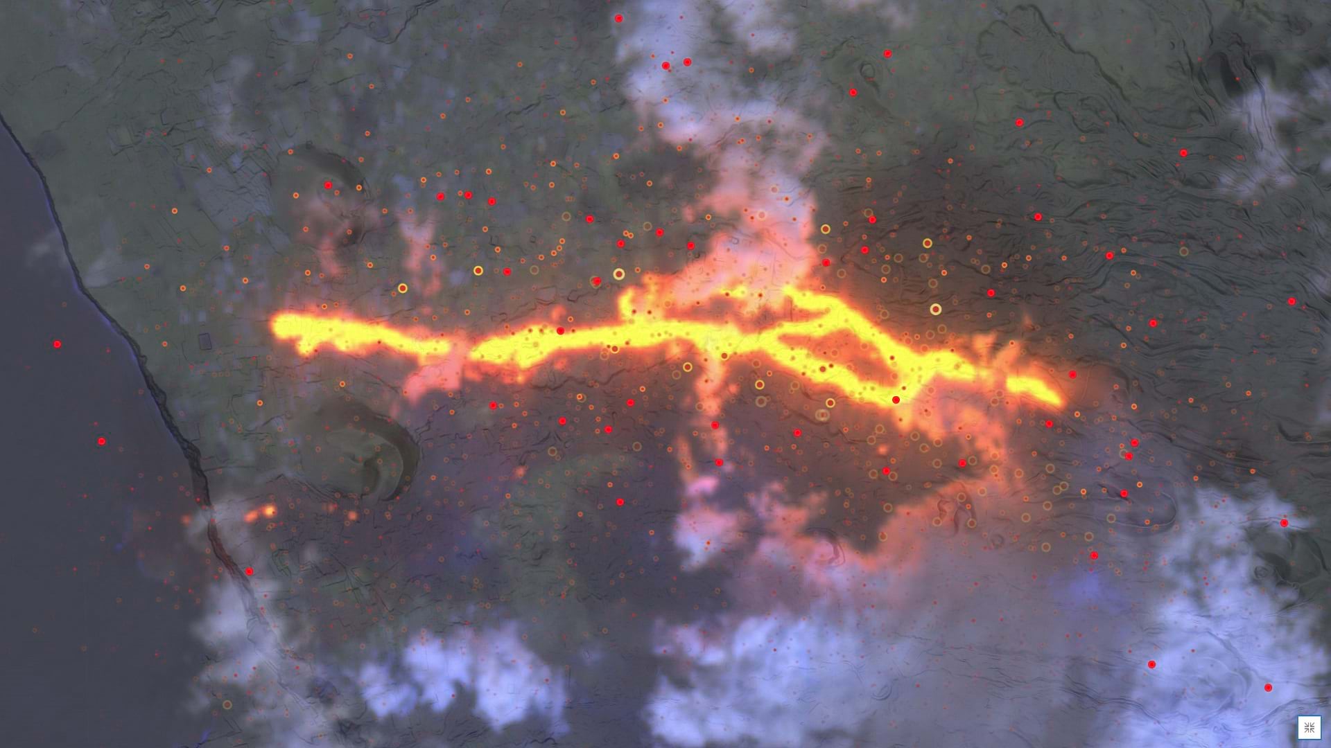
Learn how to make a volcanic activity map in a minute using ArcGIS Online and ArcGIS Living Atlas of the World.

With a GIS-based app to monitor critical assets, the Saudi Arabian Oil Company ensures that its network of transmission lines operates safely.
Mauro Laurenco, research scientist for the Wild Bird Trust, explains how peatlands hold promise in countering the effects of climate change.
Retailers are facing a massive increase in criminal activity in and around their stores. GIS is uniquely suited to help.
Learn about the latest Esri product information and roadmaps at the Esri Partner Conference, from March 10-11, 2024, in Palm Springs.
Check out this new platform dedicated to showcasing and celebrating beautiful and remarkable maps, as well as those who make them.
Join your global developer community March 12-15, 2024, at the Esri Developer Summit—an event designed around how to build cutting-edge apps.
Five simple tips to help make editing data in Map Viewer easier using readily available tools- including forms, views, and group layers.
Imagery basemaps are lovely and provide unparalleled context. But that detail can be troublesome.
Take your StoryMaps to the next level and learn more about how to seamlessly integrate ArcGIS apps in your stories.
Check out this project that used Lidar data to create a unique drone flight plan for capturing imagery at Empower Field in Denver.