displaying
Use # to search tags and @ for authors
By Multiple Authors | ArcGIS AllSource |
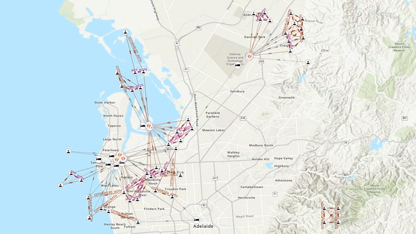
Intelligence analysis utilizing Esri’s analytical, graph, and motion imagery capabilities, all within the same workflow.

By Michael Young | ArcGIS Online |
ArcGIS Online has been operating with FedRAMP Moderate controls in place since 2022 and is now officially authorized.

By Raluca Nicola | ArcGIS Maps SDK for JavaScript |
Learn how to create animations for mesh geometry on the client side in ArcGIS Maps SDK for JavaScript.

By Shane Matthews | ArcGIS Living Atlas |
Esri's Basemaps continue to improve with over 180 new and updated communities, spanning 4 continents.

By Multiple Authors | ArcGIS Enterprise |
Esri provides versatile tools for chart automation.

By Bern Szukalski | ArcGIS Online |
Charts turn numeric attributes into more meaningful information. This article explains how to configure and use them in pop-ups.

By Multiple Authors | ArcGIS CityEngine |
Great cities start with great master plans. Learn how to use the ArcGIS Urban Suite for optimal urban planning.
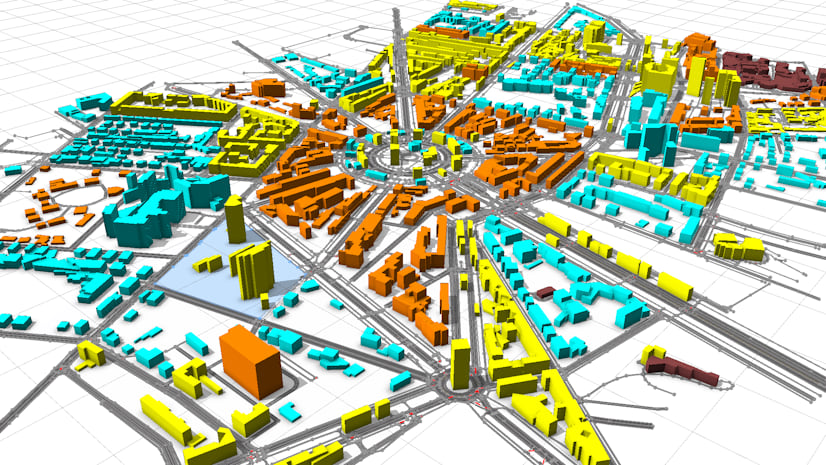
By Multiple Authors | ArcGIS CityEngine |
Planning a city block, a neighborhood, or maybe a whole new city is a multifaceted task with no universal recipe to use. Can Generative AI help?
By Belle Pandya | ArcGIS Pro |
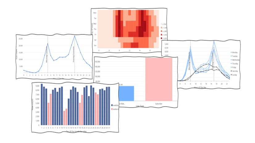
In this blog article, we'll explore BlueBikes data, a bike share service in bustling Boston, and uncover hidden insights through the power of viz

By Multiple Authors | ArcGIS Living Atlas |
The new Environment Basemap is dynamic and designed for displaying environmental data.