Emily Meriam
Connect:

With over two decades of GIS experience Emily has mapped elephants in Thailand, wildlife poachers in the Republic of Palau, land use related issues around Yosemite National Park, and active wildfire incidents for the State of California. Presently she is a Senior Product Engineer and Cartographer with the ArcGIS Living Atlas of the World where she styles and designs layers, maps, and apps with the Environment Team. When not making maps, she is a true geographer and loves traveling with her family.

Posts by this author
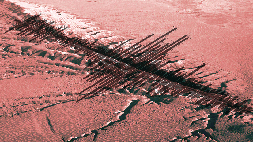
Earthquake Mapping Part II: The Cartography of Time, Magnitude, and Alert Levels

Let's meaningfully visualize 60 possible earthquake combinations using Live Feed data available in the Living Atlas.

Continue Reading

Earthquake Mapping Part I: One Symbol from Multiple Fields in Arcade

With just a few lines of Arcade code you can take multiple fields within your ArcGIS Online data and combine them into one unified symbol.

Continue Reading

Automatically Resize Symbols by Map Scale in Arcade

Learn how to create custom Arcade expressions to automatically resize your symbols as you zoom in and out of your map.

Continue Reading

1 3 4 5