Emily Meriam
Connect:

With over two decades of GIS experience Emily has mapped elephants in Thailand, wildlife poachers in the Republic of Palau, land use related issues around Yosemite National Park, and active wildfire incidents for the State of California. Presently she is a Senior Product Engineer and Cartographer with the ArcGIS Living Atlas of the World where she styles and designs layers, maps, and apps with the Environment Team. When not making maps, she is a true geographer and loves traveling with her family.
Posts by this author
Evapotranspiration Data in ArcGIS Living Atlas of the World

Use evapotranspiration data in Living Atlas from the Operational Simplified Surface Energy Balance (SSEBop).

Continue Reading

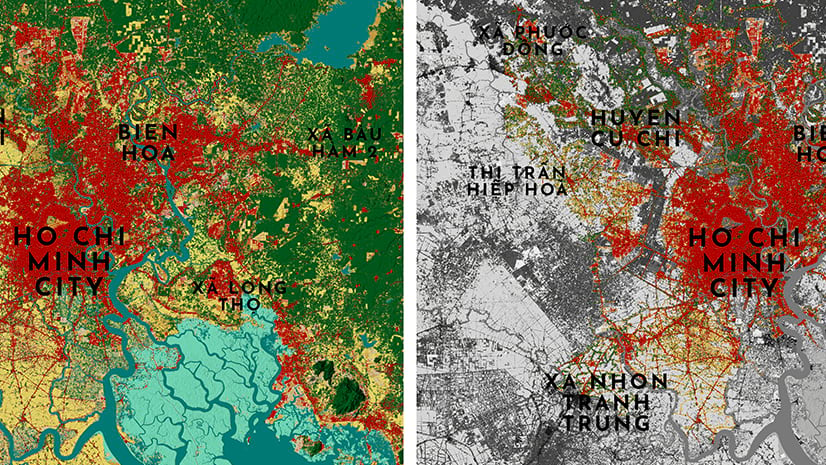
The world’s most populated and greenest megacities (and how we found out)

Use the two new land cover layers in Living Atlas to find out the amount of tree coverage in the world's mega cities.

Continue Reading

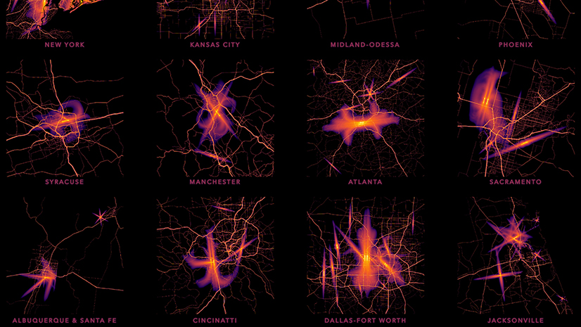
Sensory Overload: Where are America’s noisiest and brightest cities?

Are nighttime lights and noise a sensory overload where you live? Find out with the new USA Transportation Noise layer in the Living Atlas.

Continue Reading

Shopping for the Map’s Meaning

One map, four layers, millions of records all with unique needs that overlap and connect, yet also need to be separate too. Yes we can!

Continue Reading

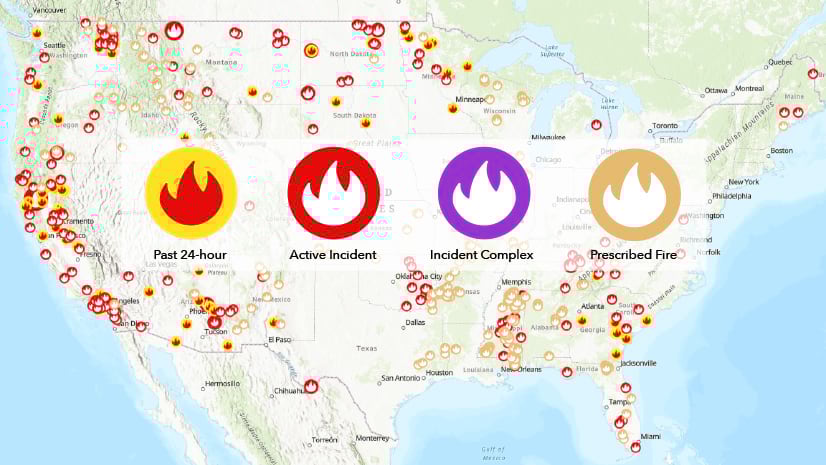
2021 USA Wildfires Live Feed Update

The Esri ArcGIS Living Atlas team has updated this layer with additional incident age fields as well as changes to the cartography. 

Continue Reading

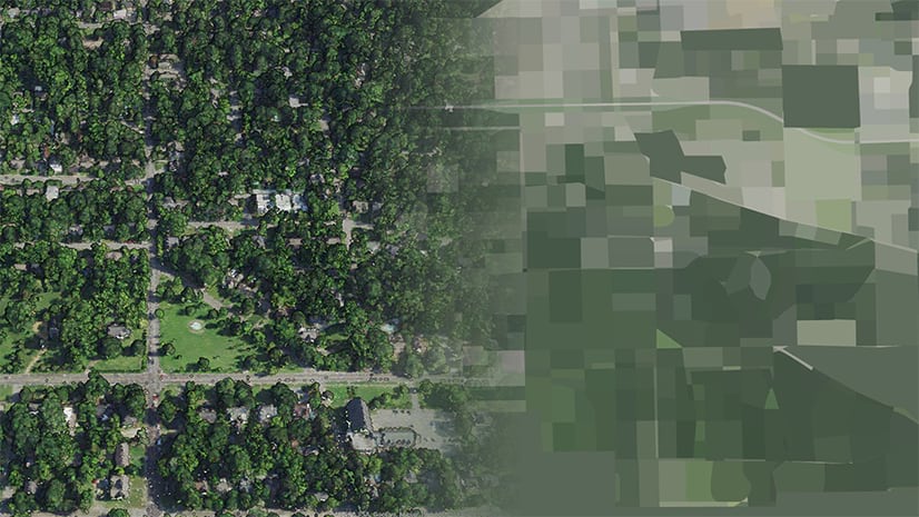
Explore Imagery-Derived Color Palettes in Redlined Neighborhoods

Use imagery and Lidar to understand tree cover disparities of Redlined neighborhoods in Montgomery, Alabamba.

Continue Reading

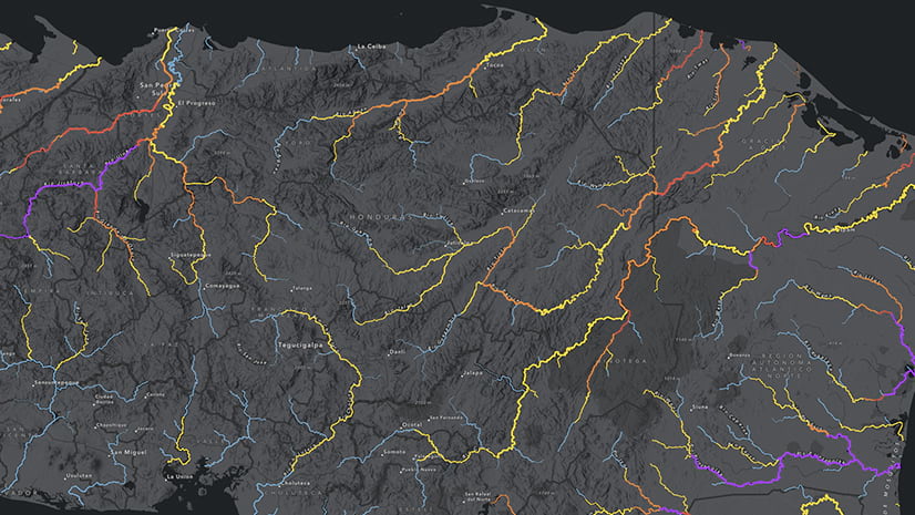
Significant Improvements to Global Streamflow Services

This valuable service has been updated with new modeling, cartography, and packaged with a custom web map.

Continue Reading

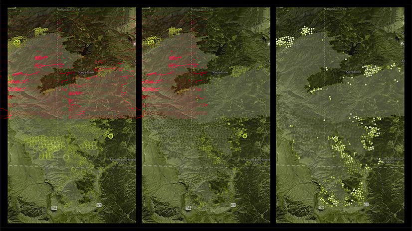
Using Arcade to Extract Meaning from Satellite Fire Detections

Explore different ways of symbolizing wildfire detections using Arcade and NASA's VIIRS layer available in Living Atlas.

Continue Reading

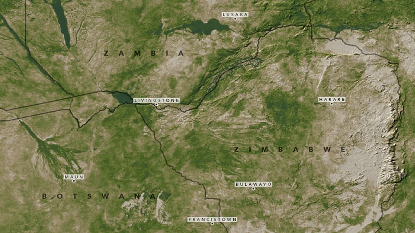
Water Conflicts in International Rivers

Raise awareness about regions experiencing droughts and the resulting water conflicts.

Continue Reading

1 2 3 4 5