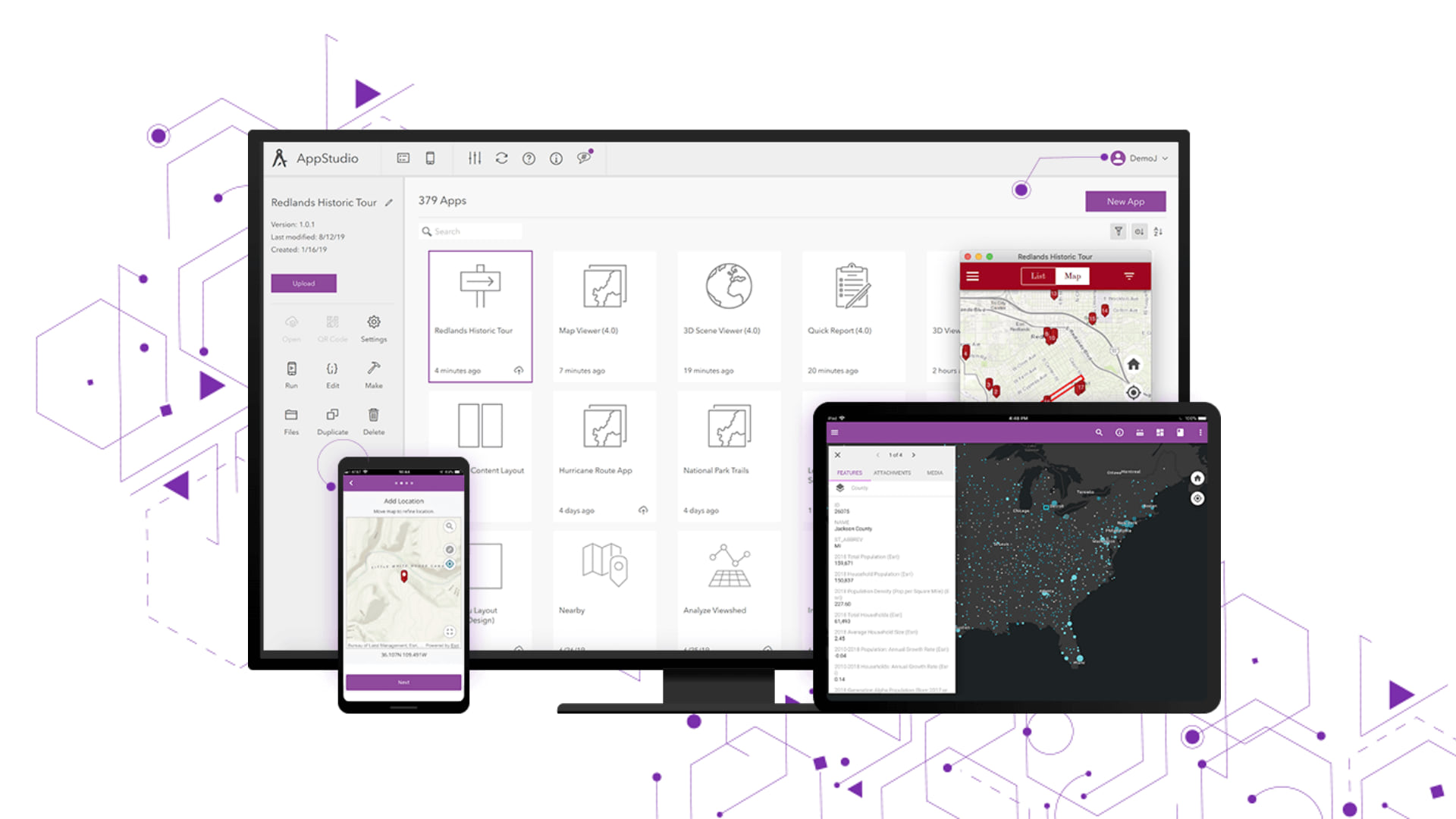
With the release of AppStudio for ArcGIS version 4.3, we have improved our templates by adding exciting new features, enhancements and bug fixes to help you create cross-platform native apps easier and faster. Visit the What’s New post to learn about all the updates. This blog post is about the enhancements and improvements now available in all four templates. The template updates in this release include:
Map Viewer
In this release we have taken special effort to enhance the Map Viewer template and make it more user friendly, feature-rich and easier to use. As always, we would love to hear back from you and how do you feel about these changes in 4.3 version. Some of the new features and enhancements are listed below:
Offline Routing – This is a brand-new functionality which allows users to display route between two locations, including turn-by-turn directions in offline mode. These two locations could be addresses or features. These locations can also be searched within the layers of the Mobile Map Packages (MMPKs). For this to function, an MMPK must support the transportation dataset in order to calculate the route, which is indicated by a direction icon in the Map Viewer toolbar while exploring the MMPK.
For example, here is the screenshot displaying route and turn-by-turn directions between a feature (based on an attribute value) and an address. As you can see it displays the actual route along with the turn-by-turn directions with the approximate distances. When you tap on a segment it will also select and zoom to that segment within the map. All this is also available in offline mode, meaning that once you have downloaded a pre-configured MMPK which supports offline routing you will be able to get directions and route even when you have no network connections.

Screenshot with annotations – As per user request we are adding another new functionality to take a snapshot of your current Map view. You can take multiple screenshots at any time, as long as the total number of screenshots is below 100. Once the screenshot has been taken, users are able to further annotate it with the help of simple but useful sketching tools. The sketching tool provide tools to add lines and arrows, draw free hand, and use smart drawings that automatically convert drawn lines into shapes. We have provided a way easily manage these screenshots within your app and then share the screenshots with other users in an email, text, or any application that supports image files. And if you are working in a disconnected environment you can even capture and annotate screenshots offline and then share with others when you have connectivity.
To capture screenshots, simply tap the camera icon. Once a screenshot is taken it will appear on the edge of your screen for you to view and share or to further customize it using annotations and drawings. Previously existing screenshots remain available within your app unless you delete them manually or you clear your cache. Here is an image of a screenshot annotated using the application.

Popup improvements – With 4.3’s release we have immensely improved the ability to view layer popups as configured in web maps. The web maps consumed within Map Viewer can have one or multiple layers. These layers may be configured with popups using the “Configure popups” option in ArcGIS Online or Enterprise. To learn more about how to configure popups in web maps please refer to the ArcGIS Online documentation. As you can see, there are multiple ways you can set up popups.
In addition to popups with display attributes, media, and attachments, we also now support popups with Arcade expressions and custom attribute displays. This will give users an enriched and more complete experience when discovering through popups. If the layer popups are disabled, they won’t appear in the AppStudio Map Viewer application. Here is a screenshot of a custom popup using a custom attribute display configuration.

Support for IWA Authentication – Map Viewer now supports secure access to your portal using Integrated Windows Authentication (IWA). This makes it easier for users to connect in integrated Windows enterprise environments and access your organization web maps and its layers within the application. When signing in for the first time it will prompt the user to enter their credentials on non-windows platform. However, for windows it will auto-sign in for you as long as you are connected to the same network as your windows device.
Note:- Runtime Portal via IWA authentication fails to download MMPK and thumbnails on non-windows devices.
MMPK search improvements – Now you can perform a feature search based on attribute values for any layer within an MMPK. This is in addition to the place search based on the configured locator within an MMPK. The top 10 results from every layer will be returned based on the query string. Tapping on the result will zoom to the feature in the center of the map.
Along with these improvements, we also fixed multiple bugs. Some of these include:
- Web map feature searches based on attribute values has been fixed. Previously, the feature search hint was not appearing, which provides a key to users which fields and layers to search from.
- Related records attributes were not showing correctly and were missing some attributes.
- Popups now only show for layers which are configured in the web map.
- Legend UI has been fixed to include currently visible layers and the legend will only show for layers are which are configured to appear in the web map.
Note:- Due to the runtime changes and updates the Map Viewer built using 4.3 AppStudio will not work in the 4.2 AppStudio Player.
Quick Report
- Quick entry using saved entries – Multiple users have asked for this feature they would like to carry over the same values from multiple fields to subsequent reports during data collection and submission to save time. When entering the values for the first time, you will get an option to save those entries. Once saved, those values can be retrieved locally for the next set of data collection and reports. This saves lot of time and effort when collecting features multiple times which have similar values. A working demonstration on how to paste values for multiple fields can be achieved using the latest Quick Report:

- Summary page before submitting a report – The Summary page is a brand new addition to the template, it lets the user review and edit the report before they submit the updates to the feature service. This provides user a comprehensive single page review of feature geometry, attachments and their attribute values. At this point the user can choose to make edits or continue to move forward with the report for either submission or saving it as a draft locally.

- Support for automatic theme based on your OS setting – Before 4.3 release Quick Report had an option to select between dark or light theme. In this release we are further enhancing this feature to automatically detect the theme color based on your operating system’s settings for mobile or desktop platforms. Of course, the user always has an option to override that by manually selecting the theme color the same it worked in 4.2.

This release also has multiple bug fixes and improvements:
- A bug that rendered users unable to draw polyline or polygon on MMPKs when the device is disconnected has been fixed.
- Draft page being stuck in descending order
- Report help link was fixed
- EmailComposer onComposeError has been replaced with onErrorChanged. This might cause any existing template application created with AppStudio 4.2 or before when open in the AppStudio 4.3 environment to stop working.
3D Scene Viewer
Support for popups – In this release we added a brand-new feature to view popups for feature layers, map image layers and tiled layers within the Web Scene. The following popup configurations are supported in a Web scene popup layer.
- Attributes display
- Attachments with the ability to view
- Media such as charts or images
- Popups with Attribute expressions
- Popups with custom attributes display using html
To learn more about how to configure popups for layers click here.
Note:- Scene layer popups currently doesn’t work, this is expected to be fixed in the future release.

IWA Authentication – Scene Viewer now supports secure access to your portal using Integrated Windows Authentication (IWA). This makes it easier for a user to connect in integrated windows enterprise environments and access your organization’s web scenes and its layers within the application. When signing in for the first time, it will prompt user enter your credentials for non-windows platforms. However, for windows platform it will auto-sign in for you as long as you are connected to the same network as your windows device.
Note:- Runtime Portal via IWA authentication fails to download Mobile Scene packages (MSPK) and thumbnails on non-windows devices.
Map Tour
- Fixed a bug for feature layers which doesn’t have features order set up, in which case it would use Object IDs to sorting order.
- Other small improvements and additions.
General Improvements across all templates
Here are some of the improvements made across all templates in a similar way:
- About page has a fresh look for all templates.
- Configuring template-specific properties using App Settings within AppStudio is now localized for all languages currently supported.
For more information about specific bug fixes and additional details about this release, please see the what’s new in AppStudio online documentation and this ArcGIS Blog post.
We hope you like the new features and enhancements added to this release. Please provide any feedback and suggestion to appstudiofeedback@esri.com or leave your comment on GeoNet.
Become an AppStudio for ArcGIS developer! Watch this video on how to sign up for a free trial.
Follow us on Twitter @AppStudioArcGIS to keep up-to-date on the latest information and let us know about your creations built using AppStudio to be featured in the AppStudio Showcase.
The AppStudio team periodically hosts workshops and webinars; please click on this link to leave your email if you are interested in information regarding AppStudio events.


Article Discussion: