ArcGIS Earth ingests data in different formats, including 3D models, Keyhole Markup Language (KML), Keyhole Markup language Zipped (KMZ) files, TXT, and open services from ArcGIS or with a URL, to explore areas of interest in 3D. All this powerful functionality makes ArcGIS Earth an ideal tool for assisting with humanitarian assistance and disaster response (HADR) missions, as analysts can fuse data sources, manipulate KML on the fly to understand changing circumstances, and collaborate with colleagues seamlessly.
With the latest release of ArcGIS Earth, collaboration workflows are enhanced. Now, in addition to importing data from ArcGIS Enterprise and ArcGIS Online, analysts can also share their KMLs to the portal with just the click of a button. In this blog post, we’ll explore this functionality in the context of the response to Hurricane Dorian in 2019.
Damage Assessment for Hurricane Dorian
In late summer 2019, Hurricane Dorian hit the Caribbean and the southeast coast of the United States to catastrophic effect; it is one of the strongest Atlantic hurricanes ever to make landfall. To give you a sense of how ArcGIS Earth can transform and streamline disaster response missions, let’s use Hurricane Dorian as an example.
First, analysts and users will need to visualize the hurricane track and timeline of when landfall events and strength of the storm system occurred. ArcGIS Earth provides users the ability to review time-enabled information, as seen below to understand when the storm was a tropical system, category 1, category 2, category 3, category 4, and with Hurricane Dorian when it hit category 5 status.

ArcGIS Earth makes it simple to coordinate complex disaster response efforts like those required for Dorian.
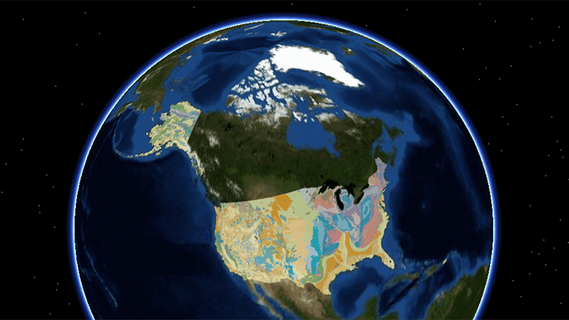
Having the ability to work with 2D & 3D layers simultaneously enables viewers to recognize patterns in the hurricane data, visualize their time-enabled information, and incorporate additional datasets to understand which areas require assistance due to the hurricane.
Furthermore, when performing post-damage assessment for Hurricane Dorian, we can bring in the hurricane track data, the key building assessment layers, and imagery to identify information and mark locations that will be relevant to recovery efforts post-hurricane.

Once a dataset has been identified as pertinent to a broader audience, it can be published as a KML to ArcGIS Enterprise (Latest release) or ArcGIS Online.
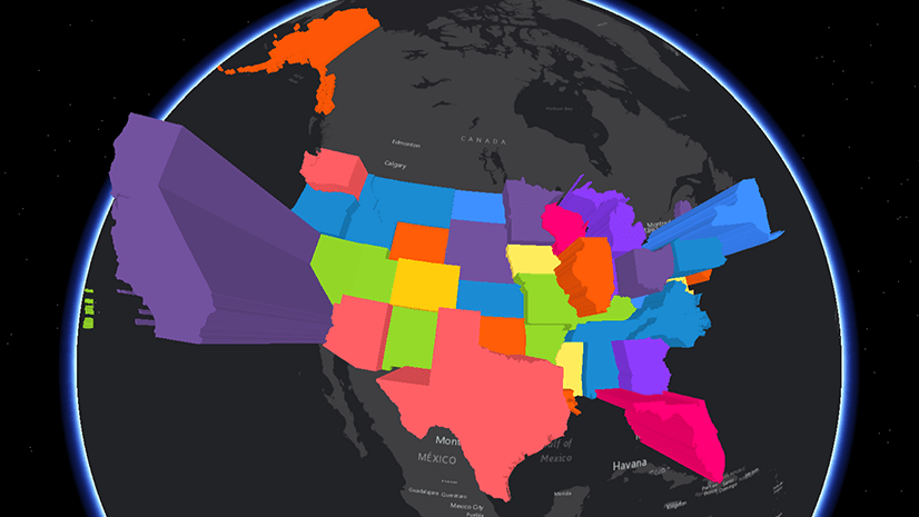
When looking at damage assessments for post-hurricane recovery, a building or facility may be missing from the dataset, especially if the dataset isn’t routinely updated. With ArcGIS Earth, users can quickly georeference a missing building via imagery, sketch a footprint, extrude to 3D and add this layer to their KML. Users can then share this KML to ArcGIS Enterprise/ ArcGIS Online through adding a few details about the data to a simple form. The image below shows the ease of use when performing this workflow:

The power of GIS during a natural disaster is in getting the information to the necessary stakeholders and making it easier to collaborate, disseminate, and share information together.
By utilizing ArcGIS Earth, a light-weight GIS tool that is fully integrated with ArcGIS Enterprise and ArcGIS Online users can connect to existing data, enrich their understanding with additional data, and make changes when necessary through collaborating, disseminating, and sharing information across organizations. ArcGIS Earth generates an efficient way to pull together data when displaying and sharing information during time-sensitive disaster response missions.
To learn more about ArcGIS Earth, visit our website. You can also download the newest release of ArcGIS Earth mobile and desktop, and visit the ArcGIS Earth Resources page for free training materials and tutorials.


Article Discussion: