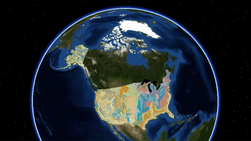
The term “bathymetry” originally referred to the ocean’s depth relative to sea level, although it has come to mean “submarine topography,” or the depths and shapes of underwater terrain. Bathymetry map data serves as a valuable (and sometimes necessary) reference for projects in construction, marine research, and more, performed in or near an open-water environment.
Using bathymetry data, users can gain additional reference for shallow areas (for instance, near a dam or boathouse) to prevent grounding situations. Environmental scientists also use this data as a reference to perform dredging routines, which is the removal of sediment and debris from the bottom of lakes, rivers, harbors, and other water bodies. It is a routine necessity in waterways around the world because sedimentation—the natural process of sand and silt washing downstream—gradually fills channels and harbors.
Add bathymetry data into ArcGIS Earth
To add bathymetry into ArcGIS Earth, follow these steps:
1. Find and click Basemaps and Terrain on the top menu

2. Once clicked, select the Terrain tab

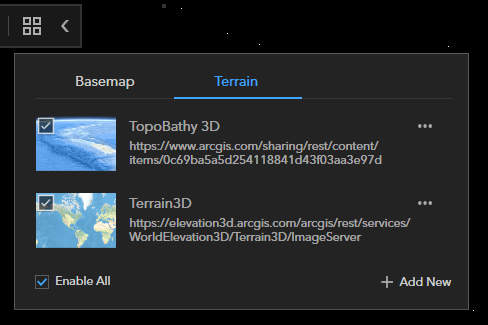
3. Click Add New to add additional terrain basemap resources to ArcGIS Earth. Under the ArcGIS Online tab:
-
-
- Select Living Atlas
- In the search window, type “bathymetry”
- Locate and add the TopoBathy3d map layer
-

4. There should now be two terrain sources added to ArcGIS Earth
-
- Make sure Enable All is checked
- With these two terrain resources added, you should now be able to track elevation changes on land as well as the depth changes below sea level.
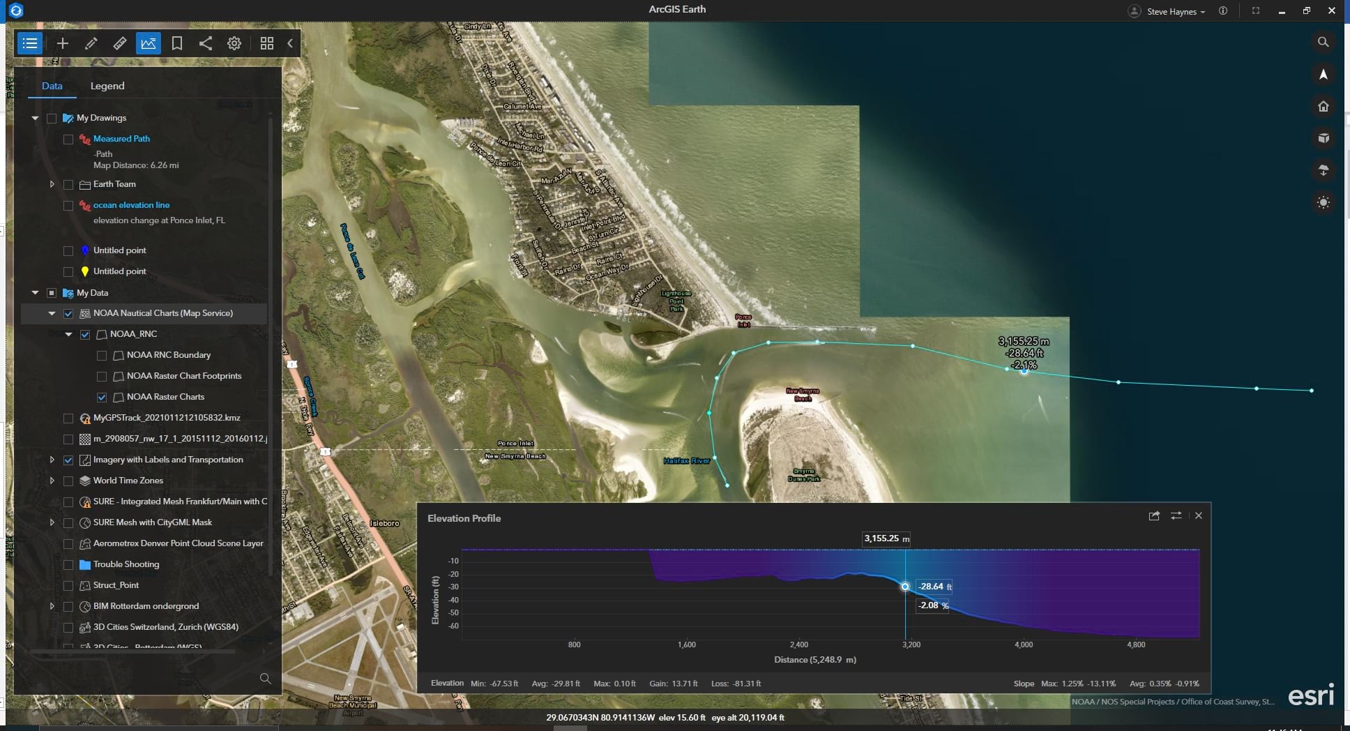
Terrain elevation above and below sea level can be analyzed and visualized in two different ways: the Explore Bar at the bottom of the window, and the Elevation Profile tool.
Explore bar mode with X,Y,Z auto-populated
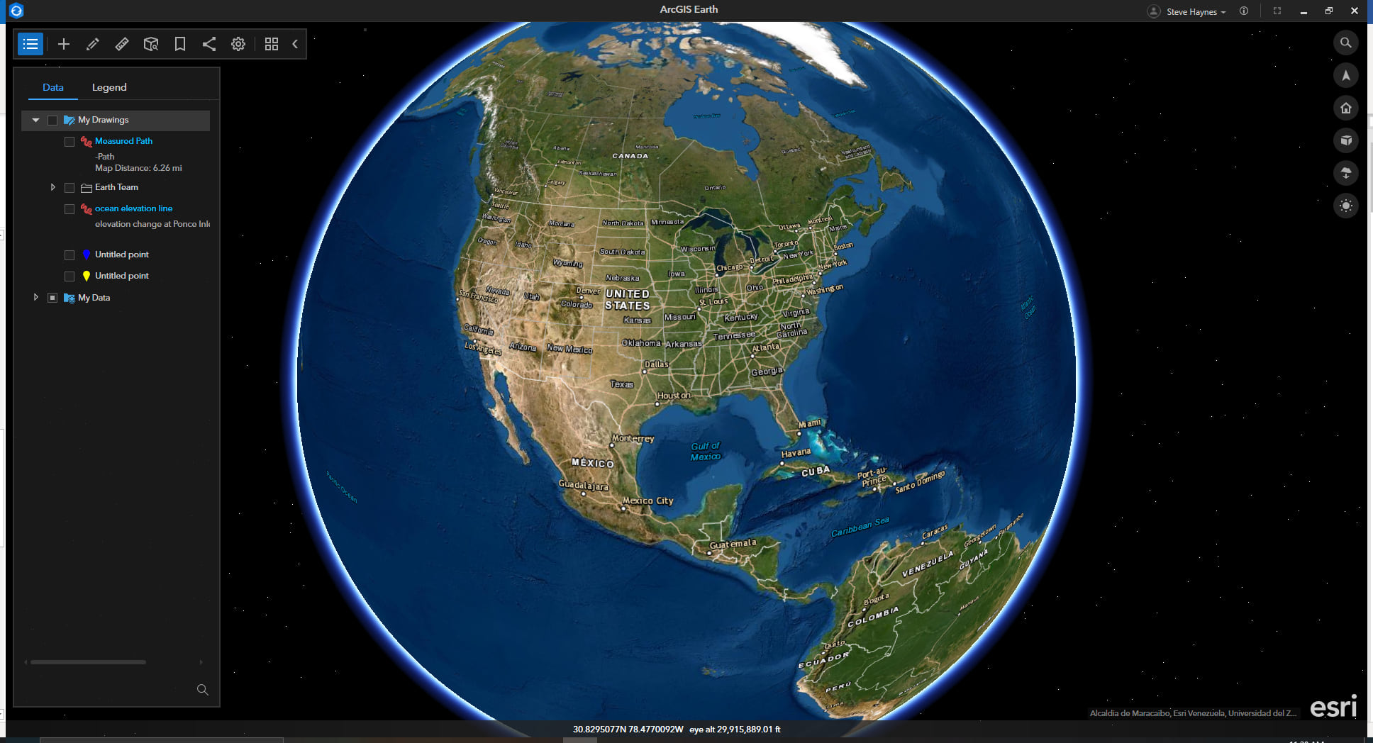
1. When zoomed far out and your mouse is run over the globe surface, X,Y coordinates, and Eye altitude are shown on the explore bar as shown below:
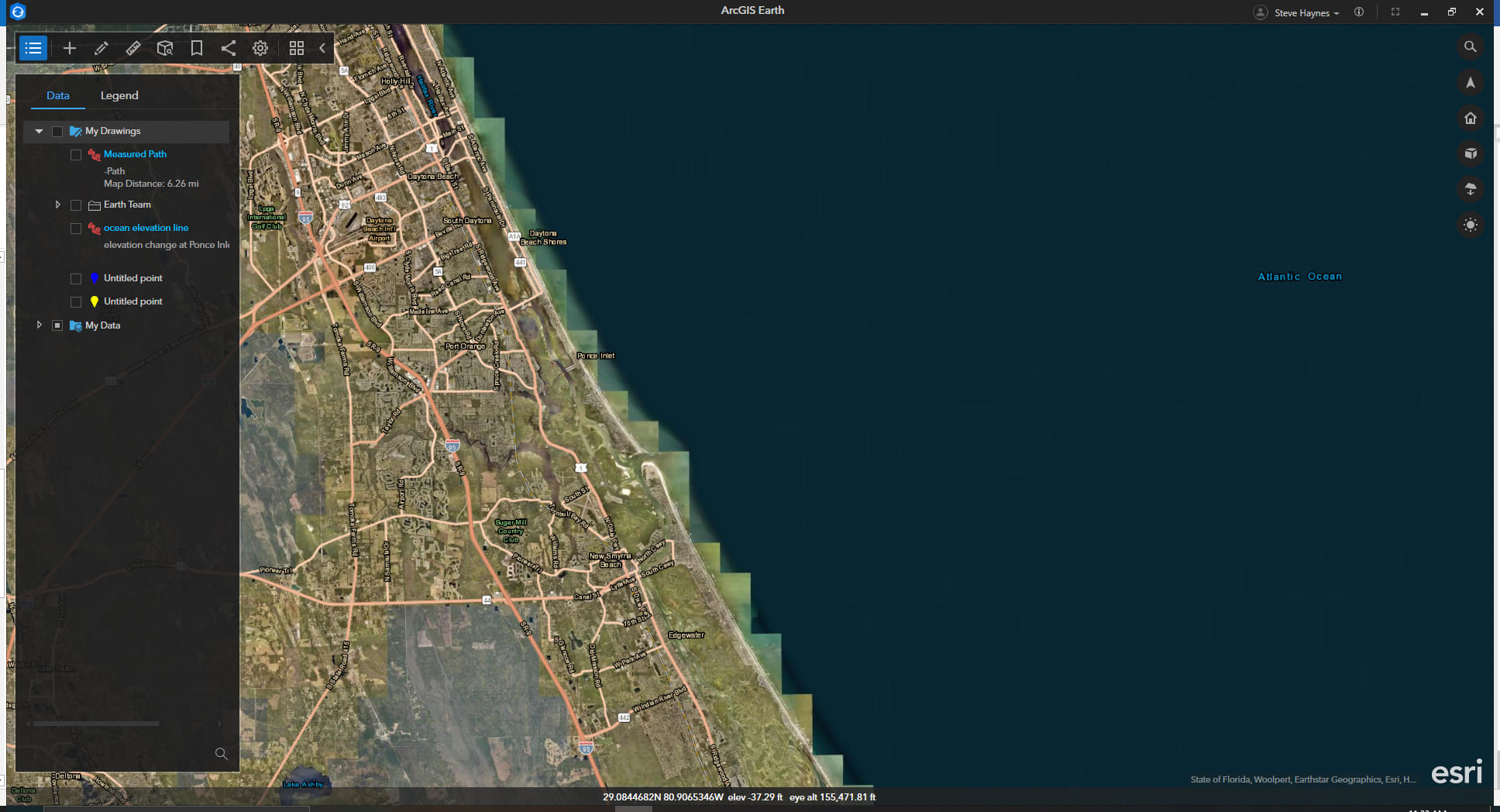
2. When zoomed in below 200,000ft eye alt and your mouse is run over the globe surface, X, Y, Z coordinates, and Eye altitude are shown on the explore bar as shown below:
3. The Elevation Profile tool can be used for further investigation of the terrain below sea level.
To learn more about ArcGIS Earth, visit our website. You can also download the newest release of ArcGIS Earth mobile and desktop, and visit the ArcGIS Earth Resources page for free training materials and tutorials.


Commenting is not enabled for this article.