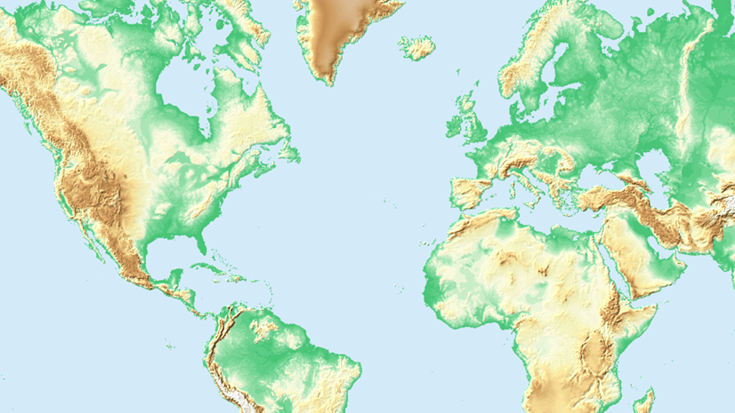
ArcGIS Living Atlas of the World provides foundation elevation layers and tools to support analysis and visualization across the ArcGIS system. These layers get updated quarterly with high resolution elevation data from federal agencies, open sources, and the community maps program. Esri provides these datasets as ready to use services that benefit the GIS community and extend the use of data in new and innovative ways. In this release, world elevation layers are updated with a few lidar derived high-resolution elevation datasets.
Terrain and TopoBathy layers are updated with:
- Hong Kong’s 0.5 meter DTM’s covering Hong Kong SAR. This brings 48 times more detail than previously available data
- Slovenia’s 1 meter DTM’s covering the entire country of Slovenia
- Berlin’s 1 meter DTM’s covering Berlin State, Germany
- Hamburg’s 1 meter DTM’s covering Hamburg State, Germany
- Saxony-Anhalt’s 2 meter DTM’s covering Saxony-Anhalt State, Germany
- New South Wales’s 5 meter DTM’s covering New South Wales state, Australia
- Poland’s 5 meter DTM’s covering parts of Poland.
- Expanded coverage of USGS 3DEP 1-meter lidar derived DTM’s covering areas of the conterminous United States. In this release, approximately 388,000 sq kms (~ 149807 sq miles) of new coverage of USGS 3DEP 1 meter has been added.
Let’s see a few examples highlighting the improvements.
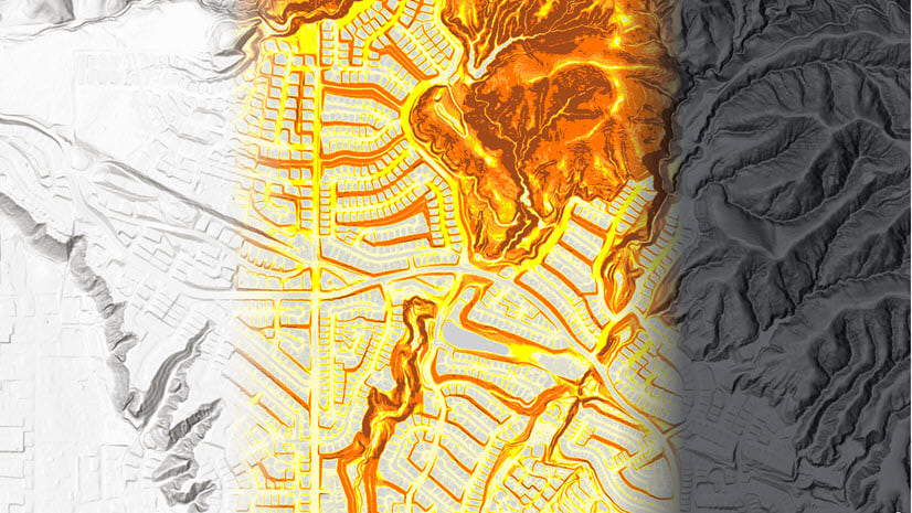
Kowloon, HongKong – major improvements depicted with lidar derived 0.5-meter DTM in comparison to 24 meters WorldDEM4Ortho

Ljubljana, Slovenia– details depicted with lidar derived 1-meter DTM in comparison to 24 meters WorldDEM4Ortho

Berlin, Germany – details over urban area depicted with lidar derived 1-meter DTM in comparison to 24 meters WorldDEM4Ortho

Hamburg, Germany – improvements over urban area depicted with lidar derived 1-meter DTM in comparison to 24 meters WorldDEM4Ortho

Halle, Saxony-Anhalt – improvements depicted with lidar derived 2-meter DTM in comparison to 24 meters WorldDEM4Ortho

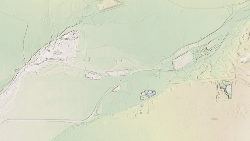
Wollongong, Australia – improvements depicted with NSW’s lidar derived 5-meter DTM in comparison to 24 meters WorldDEM4Ortho

These data updates will be rolled out to the world elevation tiled services – Elevation 3D (Terrain3D and TopoBathy3D) and Hillshade (World Hillshade and World Hillshade (Dark) ) by the end of next quarter.
To see the coverage extents of each source comprising World Elevation services, check out the Elevation coverage map.
You can help in improving these services by contributing high-resolution elevation data to Living Atlas of the World. To participate and learn more, check out the Esri Community Maps for Elevation program.


Article Discussion: