The Esri vector basemaps were updated this week with new content from our commercial data provider and community contributions. The content below details how you can influence map content and styling. Additionally, we’re sharing details on new and expanded map features. Check in on the Vector Basemaps blogs for related information.

Data Contributions and Community Map Editor
The Community Maps Program for Basemaps uses the best available data sources to produce a wide variety of multi-scale, online basemaps. These maps serve as a foundation for almost any GIS task. Provide your organization’s authoritative data to enhance the map. If you don’t have a collection of data layers to provide, but still want to contribute, consider adding content through the Community Maps Editor app. Edit parts of the Esri Community Maps basemap to add detailed features for universities, schools, parks, landmarks, and other special areas of interest.

Style Editor
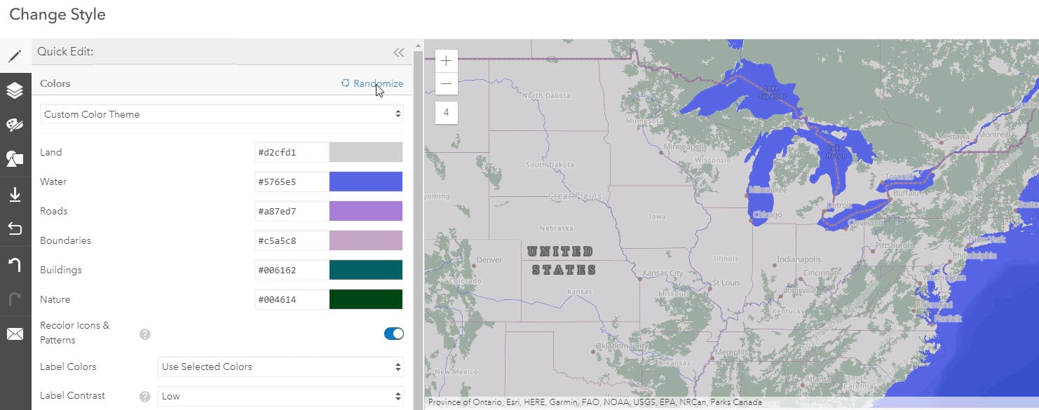
A key benefit using Esri Vector Basemaps is custom cartographic styling. Through the Vector Tile Style Editor, put a unique touch on your map’s look. The Quick Editor feature single click color changes across the map. Don’t like the results? Click again. Fine tune the map style through layer control changes. Turn features off. Change colors. Replace typefaces. Adjust line widths. These are the tip of what can be done to make your mark on your design. The editor is accessible through this app or from the “change style” icon in the map viewer. See supporting documentation.

Localization
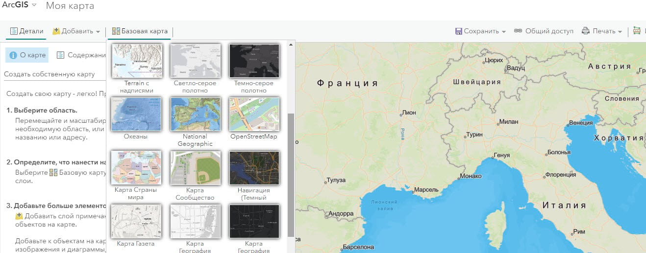
Esri Vector Basemaps are now available in 24 localized languages. Another expansion in the Localization efforts is the map styles available. Our creative vector styles (Charted Territory, Modern Antique, Nova, etc.) are now included in the language/regional basemap galleries. Refer to this FAQ answer for the list of available languages of the Esri vector basemaps.

Places
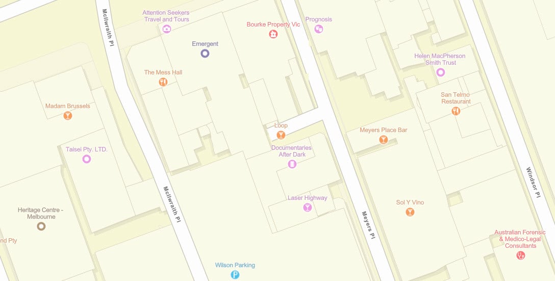
As reported earlier this year, our collection of Beta layers include extended points of interest. We initially included millions of places in the United States using SafeGraph Places as the data source. In this week’s release, we expanded our global reach outside the U.S. Millions more restaurants, stores, businesses, and other POIs are in the map from HERE Places Extract data.We’ll continue to improve the Beta items before a production release.

Esri User Conference
This year’s Esri User Conference is a virtual event on July 13 – 16, 2020. Many sessions related to the ArcGIS Living Atlas are available this year. Basemaps, the Style Editor, and Community Maps are a few of the topics covered. The U.C. event also provides an opportunity to connect with Esri cartographers and other staff. Navigate to the Basemap & Community Maps page. We’re part of the Living Atlas and Location & Data Services area. Register today and check us out.

Feedback
Need to make a correction to one of our maps? Our Feedback Services are built for this purpose. Mark up the map and enter the details. We’ll review and publish the edit to the basemaps.

GeoNet | The Esri Community
Visit the ArcGIS Living Atlas of the World product page on GeoNet. Ask questions, share custom styles, and browse for the information you need!


Article Discussion: