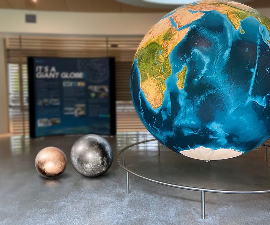
This is an 8 foot (aka 2.4 meters or 244 centimeters…why doesn’t anyone use decimeters? decimeters are underused) diameter globe that glows and slowly spins in a building on the campus of Esri. If you want to learn about it’s ideation, creation, inflation, and installation, check out this conflagration of information.
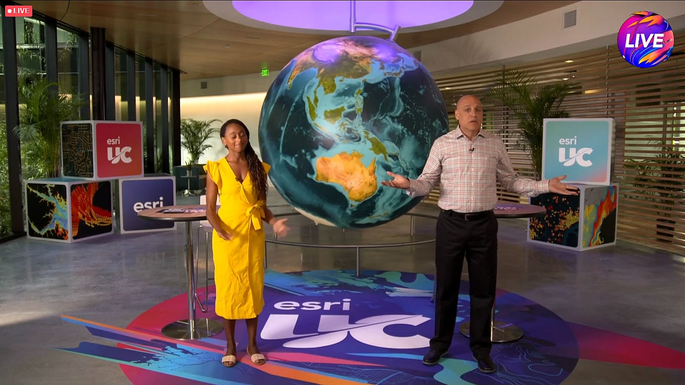
Celestial
When I was a kid, playing with 4 inch tall action figures, I liked to imagine what the world would feel like if I were that size. Imagining the scale of our planet and solar system in the context of this globe is just the slightly grownup version of that. Geographers are just big kids anyway. What would the moon look like, if it were the same scale?
It would be about the size of a yoga ball…
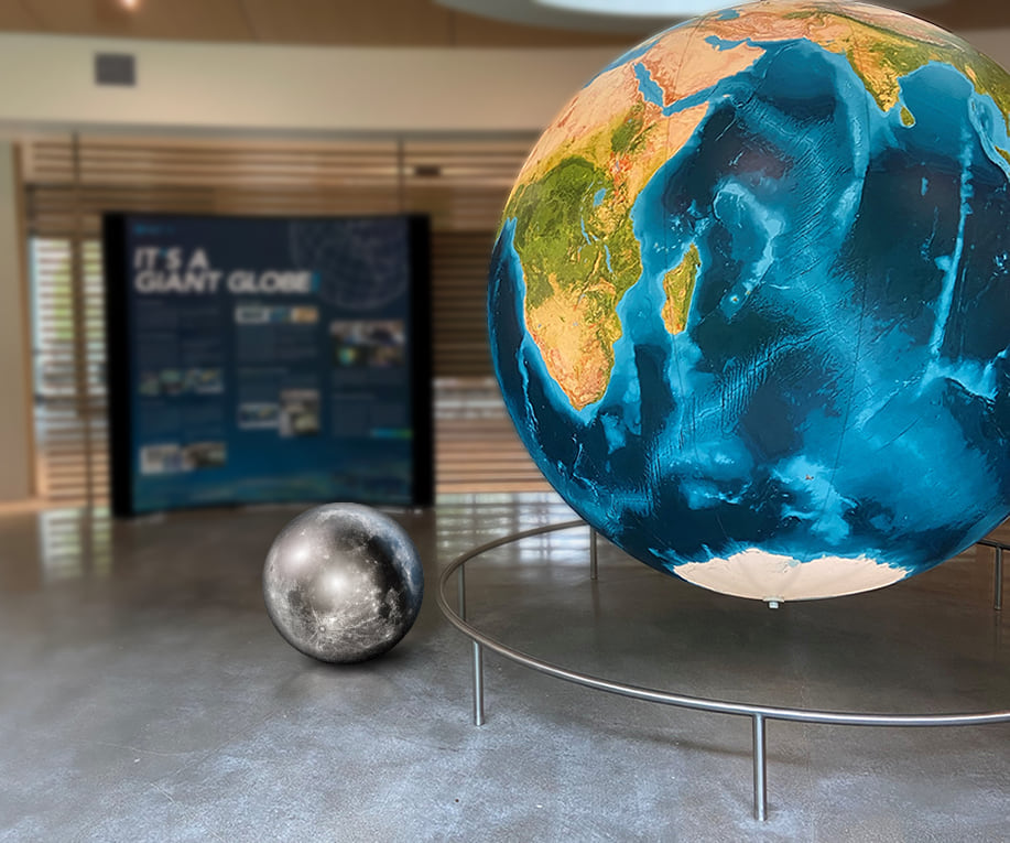
…and it would orbit the globe at a distance of 241 ft (73.5 m), just under one American football field length. In the context of this globe, the moon’s orbit would pass through the patio of Benjarong, a lovely little restaurant next door.
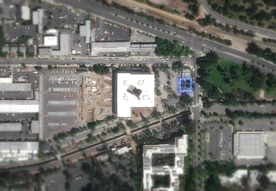
What about the sun? At this scale, our home star would engulf half the campus…
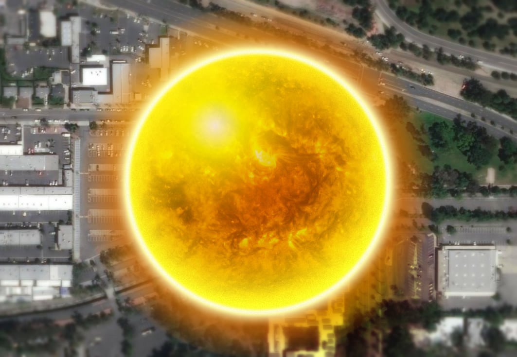
Depending on the time of year, our orbital distance would range between an aphelion of 18.1 miles (29.1 km) and a perihelion of 17.5 miles (28.2 km), almost the same as the drive to campus from nearby Ontario Airport.

Now, light doesn’t actually work like this, but if you wanted to replicate the 8 minutes 20 seconds it takes for a photon from the sun to reach earth, you’d have to drive 128 mph (206 kph).
Space is big, and these are just some relatively nearby celestial bodies. What about good old cute little Pluto? It’d be about the size of a beach ball.
At or Near the Surface
Ready to feel uncomfortable? Mountain climbers refer to anything beyond 8,000 m (26,000 ft) as the death zone. The amount of oxygen here is insufficient to sustain human life for an extended time. Virtually all of humanity lives well below this rarified elevation, which, at the scale of this globe, is 1.5 mm—the thickness of the edge of a penny.

- The entire troposphere, where all weather occurs, is only as thick as the edge of a nickel.
- The deepest location on earth’s surface, Challenger Deep, would be a 2 mm scratch on this globe—about the same as the seams that stitch together the globe’s gores.
- The terrain of earth, at this scale, would be so smooth as to be nearly imperceptible.
- Earth’s continental crust would range between a quarter of an inch (6.7 mm) and a half-inch (13.4 mm); its much thinner oceanic crust (sima) a perilously thin 1 to 1.3 mm.
- Because our planet rotates (as does this globe), it has a slight bulge at the equator. At this scale, it would be 1/3 of an inch (8.2 mm) wider than it is tall.
Satellites
Imagine looking down from your passenger jet’s window at a cruising altitude of 35,000 ft (10,668 m). On this globe mini-you would be hovering 2 mm over the surface.
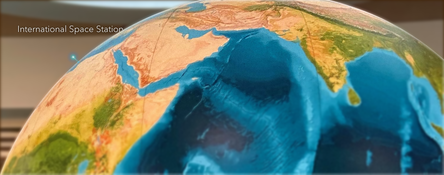
The International Space Station (about 357 feet or 109 meters in size) is in relatively low orbit (254 miles or 409 km) which means it has to scream through space at 4.76 miles (7.66 kilometers) per second. On this globe, the ISS would be the size of a speck of dust (20 microns) and hover 3 inches (78 mm) off the surface. In real life, and on this globe, it would complete an orbit in 90 minutes.
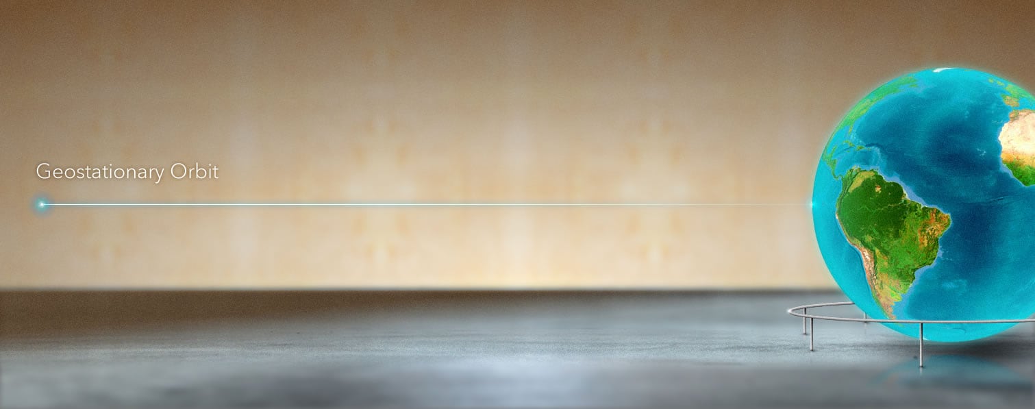
When it comes to maintaining orbit, there is a dance between distance and speed. A satellite has to be travelling at the sweet spot, depending on its speed, to keep from flinging off into space or plummeting to earth. A satellite that wants to continually look at the same part of the earth (useful for weather monitoring) has to circle the earth every 24 hours. The distance required to match this rotational speed of earth, a “geosynchronous” orbit, might surprise you.
NOAA’s GOES (Geostationary Operational Environmental Satellite) system sits at a geostationary (geosynchronous, but even with the equator) distance of 22,236 miles (35,785 km). At the scale of this globe, one of these weather satellites would float 22.5 feet (6.85 m) away.
Love, John
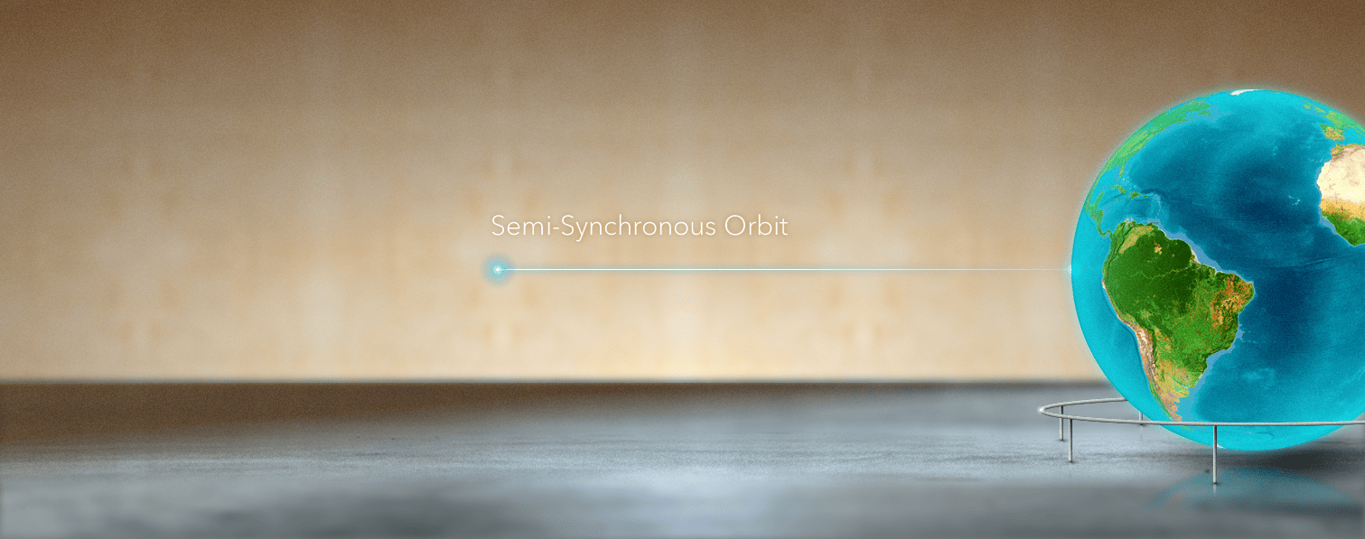
The constellation of GPS satellites (by the way, check out the amazing history of global positioning systems) that we use for all manner of spatial triangulation wonders, circle 12,550 miles (20,197 km) overhead, at a semi-synchronous orbit. They would cast a spherical net 12.7 feet (3.87 m) beyond the surface of this globe, each satellite circling twice per day.
Pondering
Thinking of the scale of the planet we inhabit can be a sobering, but also majestic, endeavor. We all exist within an unnervingly thin layer that supports life. Just above is the cold vacuum of space; just below is roiling hot magma. Our beautiful home is the perfect distance from the sun to allow for the thin thermal band required for liquid water. The molten iron magneto at its center cocoons us in a radioactivity-shielding forcefield. Its 23.5° axial tilt ensures the delicate cycle of energy that transits north and south breathing life into winds, currents, seasons, and climates. The gravity of sun and moon gently pull at the thin layer of oceans, fostering coastal ecosystems.
It’s all just too impossible, but here we are.

Article Discussion: