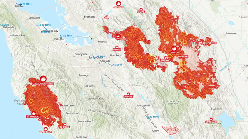
Last year Esri updated the wildfire live feed hosted in the Living Atlas for the United States. This service leverages the Integrated Reporting of Wildland-Fire Information (IRWIN) location database along with the polygon perimeters from the National Interagency Fire Center (NIFC). View the live feed here.
Since publishing, this layer has been viewed over 82 million times and was used extensively during the record setting 2020 fire season.

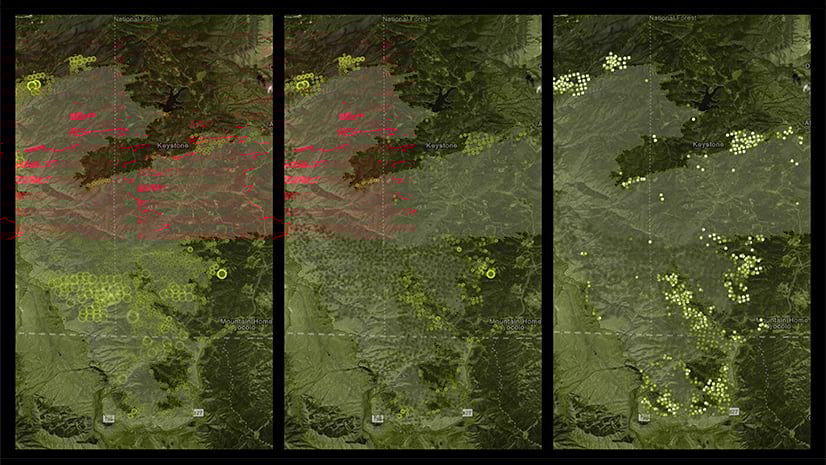
The ArcGIS Living Atlas and Disaster Response teams have updated this layer with additional incident age fields as well as changes to the cartography.
New Fields
The new fields added to Current_Incidents point layer and Current_Perimeters polygon layer are Integer fields that calculate the ‘Days Since…’ the incident record was created and modified. These fields are computed when the data is updated, reflecting the current number of days since each record was last updated.
- CurrentDateAge: (Integer) Computed days since perimeter last modified.
- CreateDateAge: (Integer) Computed days since perimeter entry created.
Updated Cartography
- The point layer symbol has been reclassified so that the active incidents are now five classes based on acreage. This way viewers can more easily reference the symbol size to its actual acreage class in the legend.
- Prescribed Fires (RX) and Incident Complexes (CX) now have their own unique symbols differentiating them on the map. Colors used follow current fire industry standards.
- For situational awareness purposes incidents occurring within the last 24 hours are in a heavily saturated yellow so they figure most prominently on the map.
- Fire perimeters were also updated to reflect the new classification and colors to separate Wildfires and Prescribed Fires.

This live feed is updated every 15 minutes using the Aggregated Live Feed Methodology based on the following filters:
- Events modified in the last 7 days
- Events that are not given a Fire Out Date
- Incident Type Kind: Fires
- Incident Type Category:
- Wildfire (WF) -A wildland fire originating from an unplanned ignition, such as lightning, volcanos, unauthorized and accidental human caused fires, and prescribed fires that are declared wildfires.
- Prescribed Fire (RX) – A wildland fire originating from a planned ignition in accordance with applicable laws, policies, and regulations to meet specific objectives.
- Incident Complex (CX) – An incident complex is two or more individual incidents in the same general proximity that are managed together under one Incident Management Team. This allows resources to be used across the complex rather than on individual incidents uniting operational activities.

View only the data you need
There are many ways you can adjust this layer to display what you need. Let’s say for example you are only interested in showing where prescribed fires are located. The animation below walks you through the process of applying a filter to only view the category of ‘Prescribed Fires’ (RX). Apply this same process to other fields as needed to focus your map based on your needs.

See the additional blog articles below for more resources and ideas related to creating your own wildfire map.
Esri’s Disaster Response Program (DRP)
If you are working on an incident and need assistance or want to see examples related to a variety of other incident types visit the DRP website. The DRP assists organizations responding to disasters or crises worldwide. When you need help quickly, Esri can provide data, software, configurable applications, and technical support for your emergency GIS operations. We’re here to ensure you get the help you need to understand the situation, make better decisions, and respond more effectively during a crisis.


Article Discussion: