-
-
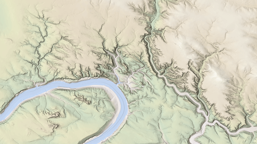
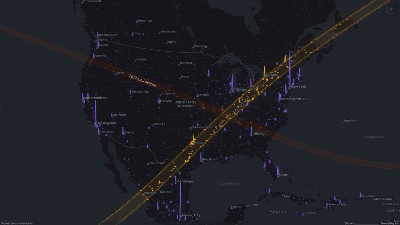
April 10, 2024
| Raluca Nicola
|
Mapping
-
-
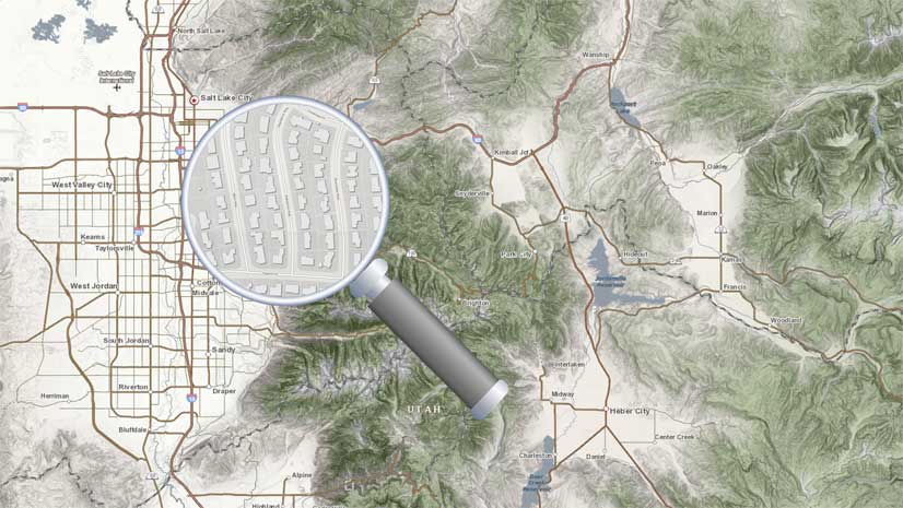
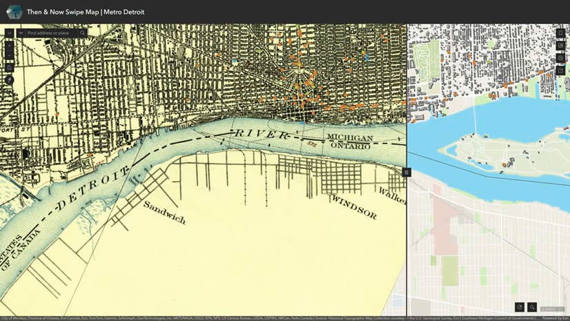
April 5, 2024
| John Nelson
|
Mapping
-
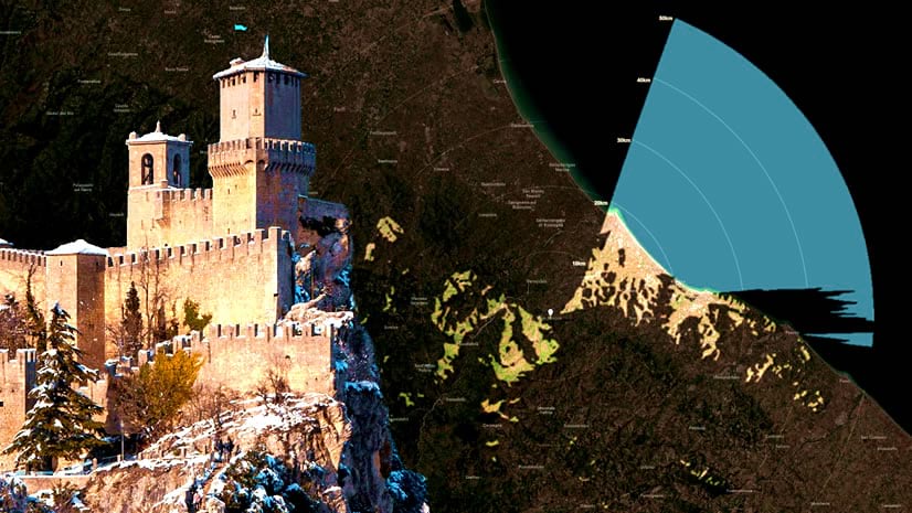
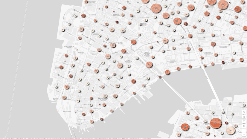
April 3, 2024
| John Nelson
|
Mapping
-
-
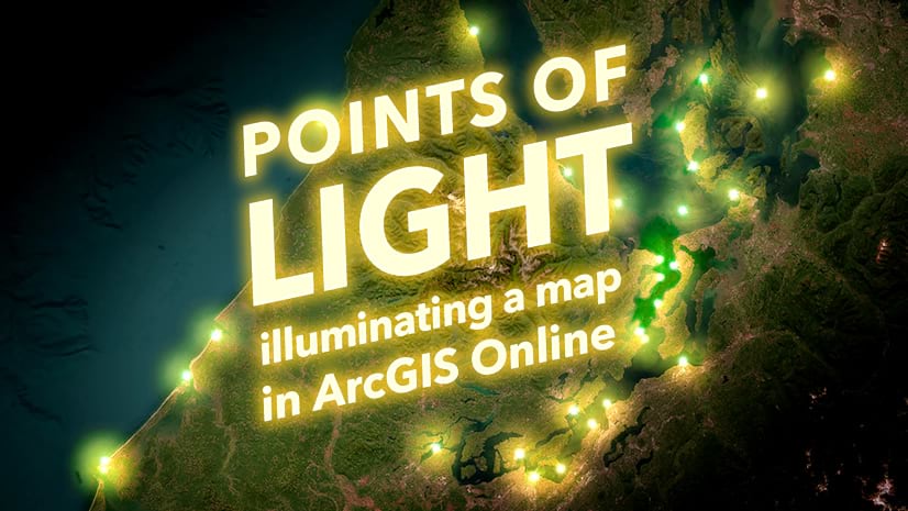
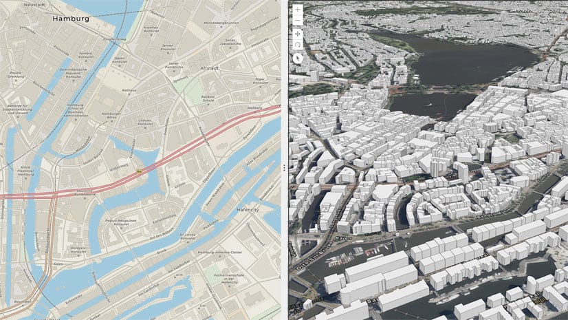
March 26, 2024
| Cooper Thomas
|
Mapping
-
March 21, 2024
| Multiple Authors
|
Sharing and Collaboration
-
March 18, 2024
| Amanda Stanko
|
Mapping
-
-
-
-
-
March 13, 2024
| Multiple Authors
|
Decision Support
-
-
March 11, 2024
| Multiple Authors
|
Administration
-
March 11, 2024
| Multiple Authors
|
Analytics
-
-
March 11, 2024
| Multiple Authors
|
Announcements
-
-
March 6, 2024
| Multiple Authors
|
Analytics
-
-
-
March 1, 2024
| Multiple Authors
|
Imagery & Remote Sensing
opens in new window