What
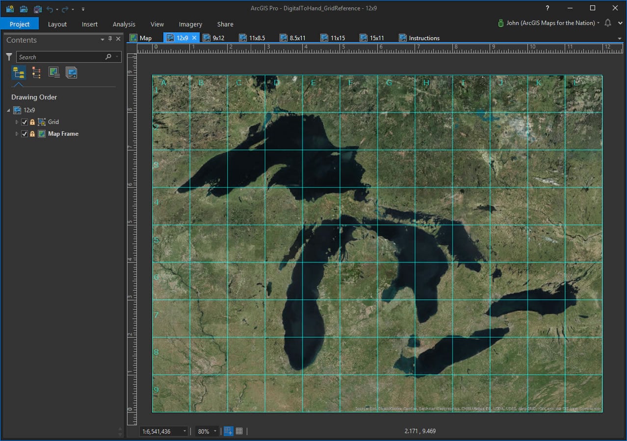
This ArcGIS Pro project is a simple set of layouts with 1×1 reference grids overlain atop a map. This little trick my Mom taught me makes transcribing geographic data to paper so much easier, and more accurate.
Why
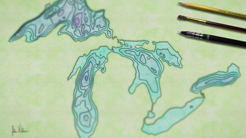
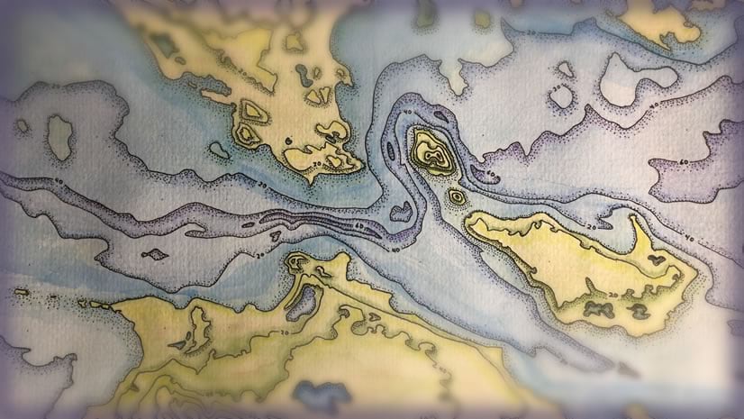
Sometimes it’s nice to put your actual hand onto an actual sheet of paper and give hand-drawn mapping a go. I’ve found that it connects me to our craft in a way that I hadn’t experienced otherwise and informed my non-hand-drawn cartography as well. Both halves of the mind melt together; a virtuous cycle; everything we do informs what we do next. We are creative beings, especially map nerds like us! Feed that creativity by downloading this ArcGIS Pro project and thinking about what sort of map you’d like to draw…
How
- Choose which layout corresponds to your drawing paper size.
- “Activate” the map to navigate to your artistically-driven location, set your desired projection, and add/style data as you see fit.
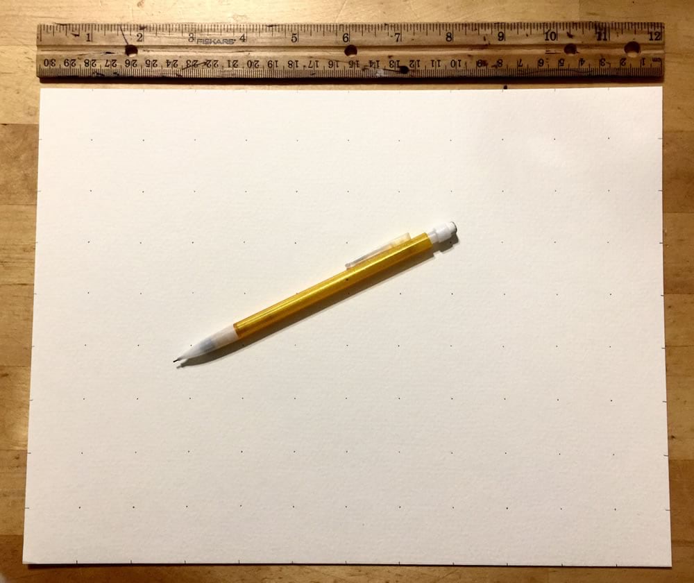
- Draw a grid of dots on your paper to correspond to the grid atop the map.
- Unleash the raging artist within!
More info: https://www.esri.com/arcgis-blog/products/arcgis-pro/mapping/digital-to-hand/
Happy Map Drawing! John Nelson

Commenting is not enabled for this article.