-
-
-
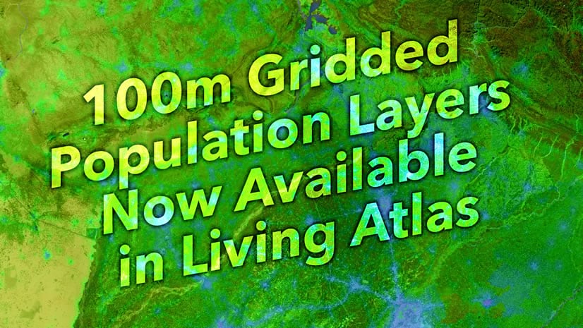
June 7, 2022
| Savannah Roth
|
Announcements
-
-
May 27, 2022
| John Nelson
|
Mapping
-
-
-
-
-
-
-
May 9, 2022
| Multiple Authors
|
Electric & Gas Utilities
-
May 6, 2022
| Beau Legeer
|
Imagery & Remote Sensing
-
May 4, 2022
| Multiple Authors
|
Analytics
-
-
-
-
April 26, 2022
| Emily Meriam
|
Mapping
-
April 25, 2022
| Heather Smith
|
Mapping
-
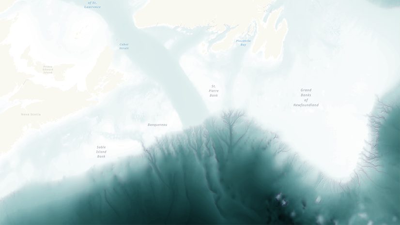
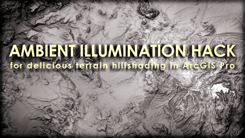
April 21, 2022
| John Nelson
|
Mapping
-
April 19, 2022
| John Nelson
|
Mapping
-
April 17, 2022
| Multiple Authors
|
Electric & Gas Utilities
-
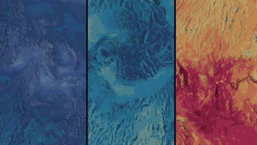
April 14, 2022
| Charlie Frye
|
Mapping
-
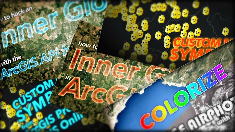
April 14, 2022
| John Nelson
|
Mapping
opens in new window