If you’re looking to enhance your social equity analysis, look no further! In this blog post, we’ll outline seven steps to help get you started. By following these guidelines, you’ll be able to produce more accurate and effective results.
- Engage Communities & Partners
- Take Advantage of Esri’s Social Equity Analysis Solution
- Use Your Organizations Data
- Leverage Your Esri Account Team
- Explore Spatial Data to Choose Indicators
- Learn From Others
- Grow Communities of Impact
1. Engage Communities & Partners
Throughout the analysis process and prior to implementing interventions based on analysis results, it is important to engage community stakeholders to get their feedback on whether the analysis, variables used, and results reflect their lived reality. It is also important to validate whether a specific intervention identified in the social equity analysis solution to increase equity really does meet a community’s needs. There may be local travel conditions or other factors known to local residents that you may not have included in your analysis. Sharing map visualizations through a web application like ArcGIS Story Maps or an ArcGIS Hub site can help bring these crucial stakeholders to the table and make conversations easier. This should be done throughout the process and validated at each decision point so that community stakeholders verify your approach with on-the-ground knowledge. This will make it more likely that your intervention truly meets the needs of your constituents.
Learn more about the Racial Equity Workflow at https://www.esri.com/racial-equity

2. Take Advantage of Esri’s Social Equity Analysis Solution
The Social Equity Analysis solution was designed to be accessible and require a lower the barrier to entry for governments who may not know where to start when it comes to addressing equity. Since most governments already have ArcGIS licensing, they can leverage tools they are already familiar with, such as ArcGIS Pro, without purchasing a new technology system and building additional staff capacity. This new configuration of their existing tools means they organizations can immediately benefit from industry best practices to advance racial equity. These tools can be accessed and deployed at no additional cost through an organization’s existing ArcGIS licensing, provided they have the underlying ArcGIS software components.
Users can download the ArcGIS Pro solution package directly here,
3. Use Your Organization’s Data
The solution comes pre-populated ACS and other data variables that are commonly used in equity analysis workflows (as defined by our GARE partners). However, if your organization has more granular data for your jurisdiction, you can bring in your own data to use instead of or alongside this data. Organizations will often bring in their own data on local community conditions, outcomes, and programs to make the solution as relevant as possible to their unique community.
4. Leverage Your Esri Account Team
Esri is here to help. We recommend contacting your organization’s GIS team first to express your interest in utilizing these tools. We then recommend contacting your Esri Account Team to assist you with other resources and support for the solution. Your interests may include anything from a casual brainstorm on how you can apply this solution in your organization to formal consulting support from Esri’s Professional Services team. Email Racial_Equity_Team@esri.com for assistance if you are unsure how to get in touch with your account team.
Esri also provides many online resources on how this solution and how GIS overall can be used as a framework to support your racial equity and social justice initiatives. These sites are updated regularly, so check back often!
- Social Equity Analysis Solution Released (Blog)
- Social Equity Analysis Solution Documentation Website
- Download the Social Equity Analysis Solution
- GIS for Racial Equity & Social Justice
- Esri Racial Equity GIS Hub
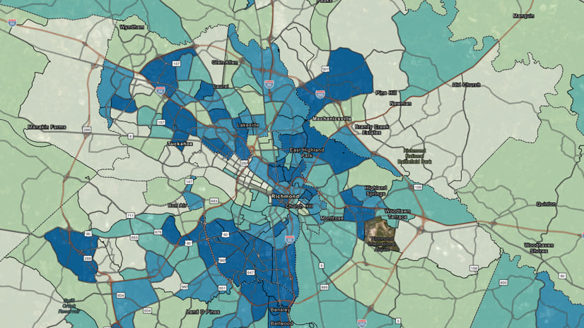
5. Explore Spatial Data to Choose Indicators
There is no one “right” way to perform a social equity analysis that applies to every community. Every organization must work locally to engage community members and partners (e.g., nonprofit, education, government, grassroots organizers) to identify the community indicators that make sense to analyze for your community. You or your organization may have already defined these indicators from previous efforts to map and analyze equity. Perhaps your organization has a Racial Equity Action Plan. Possibly your organization has previously undertaken some racial equity studies in your area.
Additionally, you can use the Social Equity Analysis solution in an exploratory way. You can use the solution to shed light on inequities during your efforts to map and analyze equity. This exploration can identify which variables to focus on by helping organizations visualize which indicators may reveal the most significant disparities within their borders. The most important thing is to ensure the indicators you use in your analysis reflect the values, realities, and needs of your community.
6. Learn from Others
In addition to listening to the needs of local community members and partners, your organization may want to consider referencing the indicators that other innovative communities have chosen for their equity analyses:
- King County, WA Determinants of Equity Report
- Oakland, CA Equity Indicators Report
- Tacoma, WA Equity Equity Indicators
7. Join Communities of Impact
Lastly, you may want to consider joining an organization like the Government Alliance on Race and Equity (GARE), a network dedicated to identifying and sharing best practices for governments to center racial equity. Resources include online toolkits, conferences, webinars, and other great opportunities to learn about innovative approaches from your industry peers.


Article Discussion: