Behind every outstanding story is, well, another story. Engaging, compelling narratives don’t just grow on trees—they’re the result of great effort, creative thought, and intelligent decision-making.
Every year, the ArcGIS StoryMaps competition gives us the opportunity to sink our teeth into that story behind the story. The power and the quality of the whole field of stories that are submitted is so high, it’s always difficult to narrow the dozens of entries we receive into just a few winners. But in the end, we have to pick the stories that we feel represent the very best that our storytellers have to offer, and we think you’ll see why those particular stories were recognized after just a quick skim.
However, while it’s easy to marvel at the final products, some of the most interesting lessons we can take from the winning stories involve the process that went into producing them. That’s why we like to sit down and have a chat with the minds behind those stories, if we can.
Fortunately, this year’s crop were all generous enough to let us pick their brains. We were able to get a sense of every step of the storytelling process from their perspective. We’ve packaged all of these interviews into an ArcGIS StoryMaps collection, which you can dig into here. But just to give a peek behind the curtain, first, here is what you can expect from their insights.
Inspiration
All stories have to start somewhere; hear how the winners first got into their subjects, spatial technology, and storytelling, as well as what appealed to them about entering the ArcGIS StoryMaps Competition.
We’re always looking for innovative ways to communicate the research that [the Clean Cooking Alliance] supports. How actionable is academic research if it can’t be made understandable to non-scientific audiences?
Read the full interview with Shannon Lloyd and Alicia Oberholzer, creators of Hearths and Health, winner of the humanitarian and social justice category.
[The competition] felt like a good opportunity to learn from the outcome; we were eager to hear feedback from other storytellers.
Read the full interview with Martin Fleischmann and Alena Zmeškalová, two of the creators of The Diverse Prague, winner of the Planning and infrastructure category and the special award for best visual language.
Storytelling approach
Once an idea is in place, bringing it to life requires carefully considering the answers to a number of questions: What is the goal of the story? Who is the intended audience? What do you hope they will be thinking or feeling after they finish reading? How can you work visual elements (maps, graphics, videos, etc.) into the story in an effective way? While the specific answers to those questions may have varied a bit from winner to winner—there’s more than one way to tell a powerful story, after all—the common thread is that they all devoted time to developing the approach to their story.
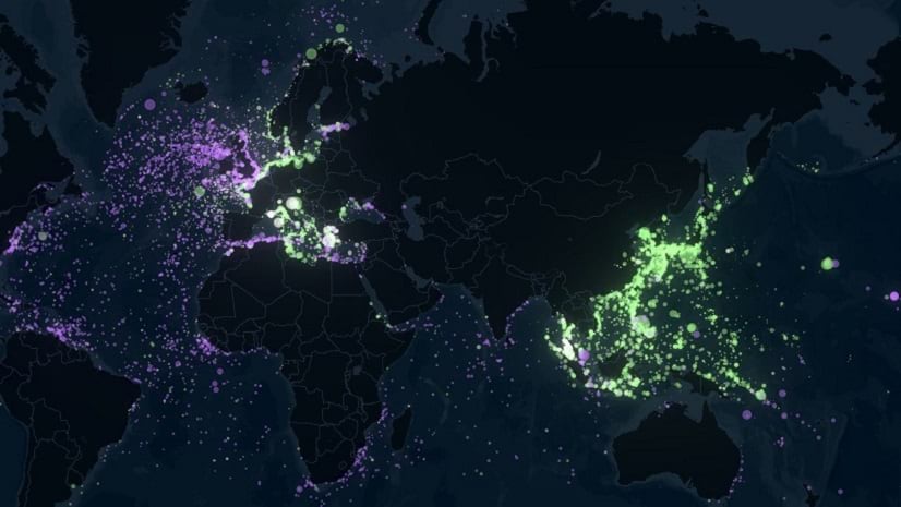
It’s a novel approach of bringing 360-degree cameras down waterways and capturing this high-level baseline photography data at a really fine scale, [but] at a higher level, this story is also about the conservation of one of the most unique and biologically important places on Earth.
Read the full interview with Katie Gaut and Mark Thompson, creators of Okavango Explore, winner of the nature and physical science category.
In order to make each map compelling, it was important to bring different content to life as the story progressed. It’s not just about providing more detail at different scales, it’s about presenting different information—a different story—as it relates to the geography being presented.
Read the full interview with Ginny Mason, one of the creators of Inside Fujairah, winner of the special award for Best map choreography.
Using ArcGIS StoryMaps
Of course, the authors of the winning stories were drawn to ArcGIS StoryMaps for the many advantages it provides as a tool for delivering geospatial conclusions and solutions to a wide audience. Each winner spoke about how they were able to use ArcGIS StoryMaps as an effective vehicle for telling their stories.
What makes it even more impactful is the ability for the viewer to self-navigate around the maps and have a more immersive experience. The viewer has more control over the story and can read/experience it at their own pace and move through the maps (zoom in and out), leading to a more engaging experience.
Read the full interview with Joshua Rostek, one of the creators of How USAID Prepares for Hurricane Season, winner of the health and safety category.
I really appreciated working with background sound in my story. I composed a couple of music pieces for a multi-genre performance inspired by Dante’s Comedy a few years ago, so I was glad that I could incorporate even those into my story.
Read the full interview with Josef Münzberger, creator of Dante’s Inferno, winner of the digital humanities and popular culture category.
ArcGIS StoryMaps was an accessible format for the public—it could be opened on a computer, phone, or tablet, or made available on a larger screen at consultation sessions.
Read the full interview with Andrew Douglas-Clifford, one of the creators of Nelson climate adaptation, winner of the special award for best use of data for storytelling.
___________________
We hope you find these interviews as inspiring as we did! And who knows—maybe your story will be the next to take home a prize from the ArcGIS StoryMaps Competition. Speaking of, keep your ears peeled: We’ll be announcing our 2023 Competition on Earth Day, April 22. Check out the Competition website on that day or follow @ArcGISStoryMaps on Twitter to learn more.
In the meantime, be sure to bookmark the collection of interview stories so that you can reference the advice from these exemplary storytellers. We can’t wait to see your stories in the ArcGIS StoryMaps Competition this year!
___________________
Cover photograph by arielbesagar, via Unsplash.


Article Discussion: