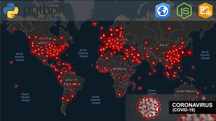
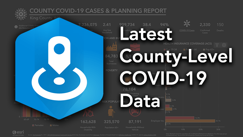
Responding to the coronavirus disease 2019 (COVID-19) pandemic requires real-time learning and collaborative work. This necessary collaboration spans across industries and sectors, calling us to come together to help however we can. At Esri, in collaboration with our business partners and user community, we launched the Esri COVID-19 Resources and GIS Hub, featuring a collection of datasets, applications, and other useful content for planning and response.
In particular, Esri business partners around the world are playing a critical role in helping customers and the greater community by contributing a variety of discounted or no-cost COVID-19 focused offerings spanning location-enabled software solutions, content, or implementation services to deliver these resources.
In this post I want to highlight just a few of the many Esri partners who are helping support our end users in managing this crisis:

Data & Dashboards
Seerist
Seerist’s Hyperion’s AI engine streamlines access to knowledge and identifies leading indicators of global events that could impact people, operations, and investments.
The company tuned its Hyperion Health Event machine learning model to identify, track, and analyze events associated with the spread of COVID-19. The data includes information from news and social media and has been made available to the public via an interactive dashboard, Seerist COVID 19 Events Listings.
SafeGraph
SafeGraph is a data company providing US points-of-interest (POI) and business listings data. At no cost, you can immediately access SafeGraph Places for ArcGIS (March 2020) within ArcGIS. This is a subset of attributes from SafeGraph Places which includes, POI business listing information and POI locations (building centroids). It is also available on the ArcGIS Marketplace.
For academics, non-profits, and governments, SafeGraph is also donating data. Learn more about additional offerings, use cases, and how to request access here.

Factal
Factal offers a breaking news platform and data powered by advanced technology and experienced on-duty journalists that enables global companies to respond faster and more productively. In response to COVID-19, Factal has launched the following ArcGIS-ready breaking news data feed resources to help users obtain relevant news coverage:
-
- Factal Incident Dashboard (Coronavirus)
- COVID-19 Breaking News Feature Layer (free via ArcGIS Marketplace)
- Breaking News Feature Layer by Factal (paid via ArcGIS Marketplace)
In addition, Factal has been offering limited time, no-cost access to its platform and free access for life-saving NGOs. Learn more at, factal.com.
Solutions & Services
Datastory
Datastory helps businesses make better decisions by offering sophisticated data analysis and insight through GIS techniques. The company is providing MapDash for COVID-19 Basic free of charge to aid situational awareness during the pandemic. Users can interact with diverse, relevant data from disparate sources all in one view. This product is also offered on the ArcGIS Marketplace.
First Due
First Due provides pre-incident planning, emergency response, and a community engagement platform for public safety agencies across the country. During this time of need, they’ve partnered with the International Association of Fire Chiefs (IAFC) to provide Community Connect for COVID-19 at no cost to all public safety agencies nationwide.
The solution allows agencies to effectively track and manage data related to COVID-19 as well as high-risk occupant data. Residents self-report coronavirus and high-risk information immediately to fire-EMS, law enforcement and emergency management so the agencies can more effectively serve their communities and protect their personnel. The First Due platform integrates with ArcGIS for strategic analysis and decision-making.
GeoDecisions
GeoDecisions designs and implements solutions to integrate with Esri technologies, and has created a variety of focused offerings for COVID-19 Emergency Response Services. For instance, government agencies and emergency responders can gain access to a special version of Notify, an emergency alert system, for a limited time. Integrated with Esri ArcGIS technology, including ArcGIS Hub basic, Notify adds communication capabilities to your existing technology and acts as an emergency alert system.

GIS WebTech
GIS WebTech provides ArcGIS geo-enabled solutions that help economic developers attract new business, and retain and expand existing business within their community. In response, COVID-19 Impact Planning Reports are being offered to all economic development organizations and existing clients free of charge.
GISinc
GISinc is a GIS and location technology company providing consulting services to state, local, and federal governments, water utilities and the healthcare industry. GISinc is providing free training webinars in a three-part series around how to implement Esri’s COVID-19 Response solution, which also includes free training on Esri’s new Business Continuity Solution. Complementing the webinar, GISinc also has a service offering, COVID-19 Jumpstart Package available on the ArcGIS Marketplace.
Additionally, related to managing COVID-19, GISinc’s solution MapMasq helps organizations anonymize customers’ personal-identifiable information (PII and PHI). They are offering a free trial of the MapMasq solution through September 2020. This offering can also be found on the ArcGIS Marketplace.
Blue Raster
Blue Raster is an experienced and qualified Esri services and solutions provider. Trained by Esri and FEMA on disaster response efforts, they are providing government and community organizations with GIS solutions support as they fight the spread of COVID-19 in their communities. They are ready to assist your organization with the rapid setup of ArcGIS Hub pages, dashboards, and web applications to assist in Coronavirus response efforts.
Juvare
Juvare delivers technology-enabled professional services to health-care providers, government agencies, and business enterprises to support critical incident preparedness and response. The company has released a variety of resources and initiatives to help the US prepare for coronavirus outbreaks. Over 600 emergency management agencies, 50 Federal agencies, 3,500 Hospitals and public health departments, as well as Fortune 500 companies rely on Juvare solutions every day to track and manage all aspects of COVID-19.
Pro-West
Pro-West supports government and private industries with GIS consulting, data services, and application development. To help organizations rapidly mobilize their COVID-19 response, Pro-West is supporting efforts to configure, deploy, and share purpose-built solutions based on the Esri platform. This includes the Coronavirus Response Hub along with a selection of individual, internal, and public-facing applications such as the Community Impact Dashboard, Restaurant Delivery, and more through Pro-West’s dedicated COVID-19 response team.
Cloudpoint Geographics
Cloudpoint Geographics is a services provider of GIS solutions for organizations within public works, facilities, land records, utilities, transportation, and engineering sectors. The company is a trusted provider in implementing ArcGIS Desktop, ArcGIS Enterprise, Portal for ArcGIS, and ArcGIS Online solutions through the Esri platform, including COVID-19 resources.
Note: This blog captures only a sample of the many COVID-19 related offerings from Esri partners in the Esri Partner Network (EPN). Learn more about Esri’s rich ecosystem of partners that deliver solutions, content, and services using the Esri Geospatial Cloud, here.
Are you in need of mapping, data, GIS resources, or assistance?
We’re here to help! Visit Esri’s COVID-19 GIS Hub for no-cost resources to help you prepare, manage, and deliver an effective response, esri.com/covid-19.


Article Discussion: