A geospatial strategy is a business-driven plan for how an organization uses location intelligence, geographic information system (GIS) technology, people, and processes to achieve its strategic goals. It serves as a road map that aligns geospatial capabilities with business needs. As part of the broader enterprise systems narrative, it helps organizations realize maximum value from their technology investments. With a forward-looking strategy in place, organizations can design solutions holistically rather than addressing challenges in isolation. Governance is central to this approach: a clear model with enabling policies, processes, and accountability supports innovation and long-term success across the enterprise.
A geospatial strategy transforms water, wastewater, and stormwater utilities from reactive problem-solving to proactive, data-driven decision-making. It improves operational efficiency, reduces costs, enhances service reliability, and strengthens resilience against environmental and infrastructure challenges.
Unlocking Operational Excellence and Resilience: The Strategic Value of Geospatial Solutions for Water, Wastewater, and Stormwater Utilities
The water industry is facing several significant challenges that a geospatial strategy can help mitigate. Our industry is losing large amounts of intellectual knowledge as staff retire. In addition, many utilities are struggling to recruit individuals to fill the gap left by retiring employees. Together, these challenges create a strong opportunity to develop and implement a geospatial strategy that identifies where technology, data, workflows, or skills are needed to work more effectively and fill gaps.
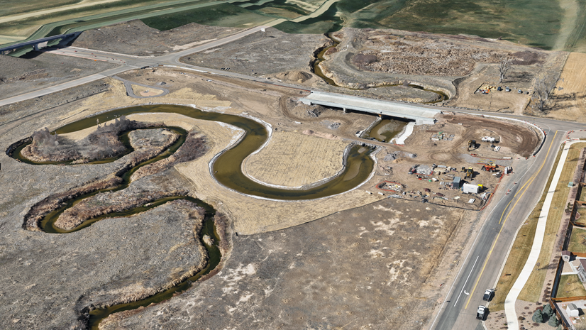
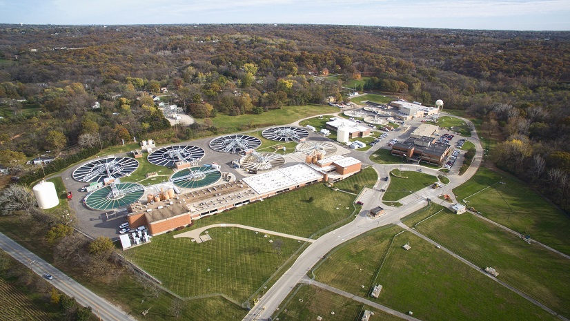
Geospatial solutions enable utilities to accurately map infrastructure such as pipes, valves, meters, pump stations, and holding tanks. Understanding what assets you have and where they are located is foundational to easing the impacts of aging infrastructure. Data stored in a GIS provides a holistic view of networks and feeds geospatial analysis, which supports strategic, data-driven decision-making. A geospatial strategy with GIS at its core helps us better understand how failing infrastructure will impact operations and manage limited resources more effectively.
Extreme weather is challenging us to look for solutions that help predict how flooding, drought, and pollution will impact our ability to distribute, collect, and treat water while protecting and ensuring water supply for the future. This is a complicated challenge. We need to understand where our networks are vulnerable, what is needed to collect or divert flood waters, what strategies will reduce leakage and increase conservation, and what can be done to prevent pollution. Developing and implementing a geospatial strategy will help answer these questions. It will focus efforts on what matters most and identify workflows and solutions that can be implemented one step at a time. These solutions will integrate data, distribute information, and lead to decisions that result in multiple, interconnected benefits.
A geospatial strategy creates value for the water industry in many ways. In addition to understanding the large challenges discussed already, it also identifies day-to-day challenges that can be improved. For example,
- Accurate mapping and proactive asset management help reduce redundancy and emergency repair costs.
- Integrating SCADA and Internet of Things (IoT) sensor data with GIS allows real-time monitoring of pressure and flow, helping utilities quickly identify leaks.
- Utility staff can quickly identify and notify affected customers during service interruptions.
- Optimized routes for meter reading, maintenance, and inspections, saving time and fuel.
- Visualizing work and asset locations helps allocate crews and equipment more effectively.
- Customer service workflows can be improved with map-based solutions that enable precise tracking of service requests and a holistic view of operations.
- In emergencies, geospatial intelligence allows for rapid identification of affected areas and supports scenario planning to mitigate risks.
- Geospatial solutions often simplify regulatory reporting and documentation by providing up-to-date maps and historical records.
- Geospatial analysis aids in planning for system expansion and data-driven investment decisions.
Many utilities need to modernize and better understand how to allocate resources. By going through the phases of geospatial strategy development, you will identify gaps where technology, data, workflows, or skills are needed to deliver sustainable solutions. The result is a more modern approach to equipping people with effective workflows and processes, the right data, and the skills needed to make new technology successful.
Empowering Your Organization Through a Purposeful Geospatial Strategy
Creating a geospatial strategy is an end-to-end journey that helps establish a vision and a path for transformation by leveraging geospatial resources. To develop a successful geospatial strategy, you need to involve the right people. These key stakeholders need to represent different aspects of your business—not just the IT professionals or GIS experts. Your stakeholders’ priorities, organizational knowledge, and desire to improve business will lead to a more valuable strategy and increase support throughout your organization.
A geospatial strategy can be as basic or complex as needed. Some organizations need a strategy that digitally transforms legacy systems and workflows, while others may want a more complex strategy that maximizes the value of technology already in place and identifies how best to augment it. Either way, developing and executing a geospatial strategy is best done using a four-phase approach: Understand, Plan, Act, and Revisit. These phases are designed to help you adopt a business-first approach, ensuring that the resulting capabilities align with and support your organization’s objectives.
- Understand: In the Understand phase, organizations gain a comprehensive view of their business context.
- Plan: The Plan phase focuses on identifying the necessary people, processes, and technology, resulting in a prioritized road map to address key business challenges.
- Act: The Act phase involves systematically executing this road map in manageable steps.
- Revisit: The Revisit phase loops back to the Understand stage, allowing the strategy to be reassessed and adjusted as circumstances evolve.

Esri strongly recommends reevaluating a geospatial strategy regularly, at least once a year. By adapting and updating your geospatial strategy, you ensure that solutions continue to deliver value to your organization. To learn more about the four-phase approach, read the technical paper, The Value of a Geospatial Strategy.
Advice from Esri Experts
While writing this blog, I met with several Esri experts who work directly with water industry organizations to develop geospatial strategies. I asked them, “Based on your experience, what advice would you give utilities about creating and/or implementing a geospatial strategy?”
This is what they shared:
- Focus equally on people, processes, and technology
- Identify desired outcomes: scalability, improved processes, performance, and workflows
- Define what success looks like
- A strong geospatial strategy aligns GIS capabilities with real water utility goals, enabling GIS to become an enterprise decision support platform, not just a mapping tool
- Success depends on clear governance, defined roles, data stewardship, and training that embeds GIS into daily workflows across planning, operations, and mobile crews
- Deliver value incrementally
- Prioritize a few high-impact use cases, demonstrate early wins, and build momentum over time
- Treat your geospatial strategy as a living road map: review and adjust it as priorities and technology evolve
Final Thoughts
Don’t work in a silo. Engage your peers. Ask for help.
There are many resources available if you want to learn how a geospatial strategy can help your organization—whether you need help reviewing an existing strategy or want support developing one. Consider collaborating with neighboring utilities, attending an industry event, and joining online communities. You can also reach out to your Esri account team. Esri’s water team is composed of experts in many areas who are here to help.

Article Discussion: