The December ArcGIS Online release includes data updates for several countries.
Canada
In December, the 2018 Canada data update will be completed with 267 additional Census 2016 variables. Read more about the data from Environics Analytics in What’s New in Canada Demographics and access Release Notes, Technical Documents, and other resources on the Canada documentation page. See the Release column in the Canada Attribute List. (“2” indicates it was released in the December online release.)
Important notes about the 2018 data update for Canada:
- Single Year by Age and Sex, Households by Living Arrangement, and Religion are no longer available in the Census year. (Note that Religion data is still available for current year.)
- Census year Condo Status and Mobility 5-year Status are new.
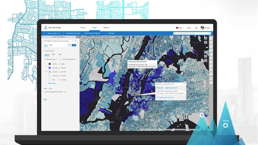
United States
- Updated Traffic Counts from Kalibrate (18.2, Q3 2018)
- Updated Business Locations from Infogroup (October 2018)
Germany
- The Germany demographic data from Nexiga GmbH was updated from 2017 to 2018. The release also includes a new data attribute – 2018 Average Household Size. Learn more about this Advanced Demographics update in the Release Notes and Technical Documents on the Germany documentation page.
Asia
The following countries were updated with new demographic data (from 2016 to 2018) from Michael Bauer Research GmbH, and improved Settlement Points methodology was implemented:
- Asia: Japan, Singapore, Hong Kong*, South Korea, Taiwan, Vietnam, Kazakhstan, Kyrgyzstan, Macao, Mongolia, Pakistan, Sri Lanka, Tajikistan, Uzbekistan, Bangladesh
- Caucasus: Armenia, Azerbaijan, Georgia
- Middle East: Israel, Saudi Arabia**
Improvements to the data in these countries may result in differences to demographic analysis. Care should be taken when comparing results with analyses created in prior years.
- *Hong Kong – The December 2018 release for Hong Kong includes a new most detailed level of geography. The 2016 release had boundaries for 18 districts, and this release includes an additional 431 constituencies. This change is due to Michael Bauer Research GmbH switching to the Census and Statistics Department, United Nations as the ultimate data source for Hong Kong.
- **Saudi Arabia – The 2018 data update for Saudi Arabia includes an increase of 29 Governorates (Muhafazats) over the 2016 release. Governorates (Muhafazats) are the most detailed level of geography available for Saudi Arabia, and 147 boundaries are now available.
North & South America
The following countries were updated with new demographic data (from 2016 to 2018) from Michael Bauer Research GmbH, and improved Settlement Points methodology was implemented:
- North America: Mexico
- South America: Argentina, Brazil, Colombia.
Africa & Oceania
The following countries were updated with new demographic data (from 2016 to 2018) from Michael Bauer Research GmbH, and improved Settlement Points methodology was implemented:
- Africa: South Africa
- Oceania: Australia
Other Improvements
The following 10 countries are receiving improved Settlement Points methodology which can impact how data is apportioned. Settlement Points are an estimate of likelihood of settlement at low geographic levels (approximately 75m grids). They are used in the aggregation engine (in the GeoEnrichment Service) to apportion and summarize data for both standard and custom areas. While there are no updates to the demographic data, the improvements may result in differences to demographic analysis performed in the following countries:
- North & Central America: Greenland, Aruba, Bahamas, Bermuda, Cayman Islands, Dominican Republic, Guadeloupe, Jamaica, Martinique, Trinidad and Tobago.
How will these updates affect me?
For the Ready-to-Use Living Atlas Maps User within ArcGIS Online
Demographic layers and maps for the countries mentioned above are updated.
For the Business Analyst and Community Analyst User
Business Analyst and Community Analyst users can access the updated data through reports, infographics, and maps. The complete attribute list for each country is accessible through the data browser contained in the application.
For the Data Enrichment user in ArcGIS Online or ArcGIS Maps for Office
The December 2018 update provides access to the datasets shown above. For a detailed explanation of new or deleted attributes in datasets, see the Release Notes for each country.
For the Developer using the REST endpoints of the GeoEnrichment Service
The underlying datasets of the REST endpoints of the GeoEnrichment Service were updated in December 2018. Some of the changes to the REST endpoints included in this release are:
- Changes to the layer IDs of the administrative/statistical boundaries.
- Changes to the layer names of the administrative/statistical boundaries.
- Changes to attributes/analysis variables including additions and deletions.
Because of updates to the underlying data, users of the GeoEnrichment Service may need to update these items in the query parameters of REST requests to the service from their apps. To view the updated REST endpoints, you will need to access the GeoEnrichment Service with a developer or organizational account, using a token request.


Commenting is not enabled for this article.