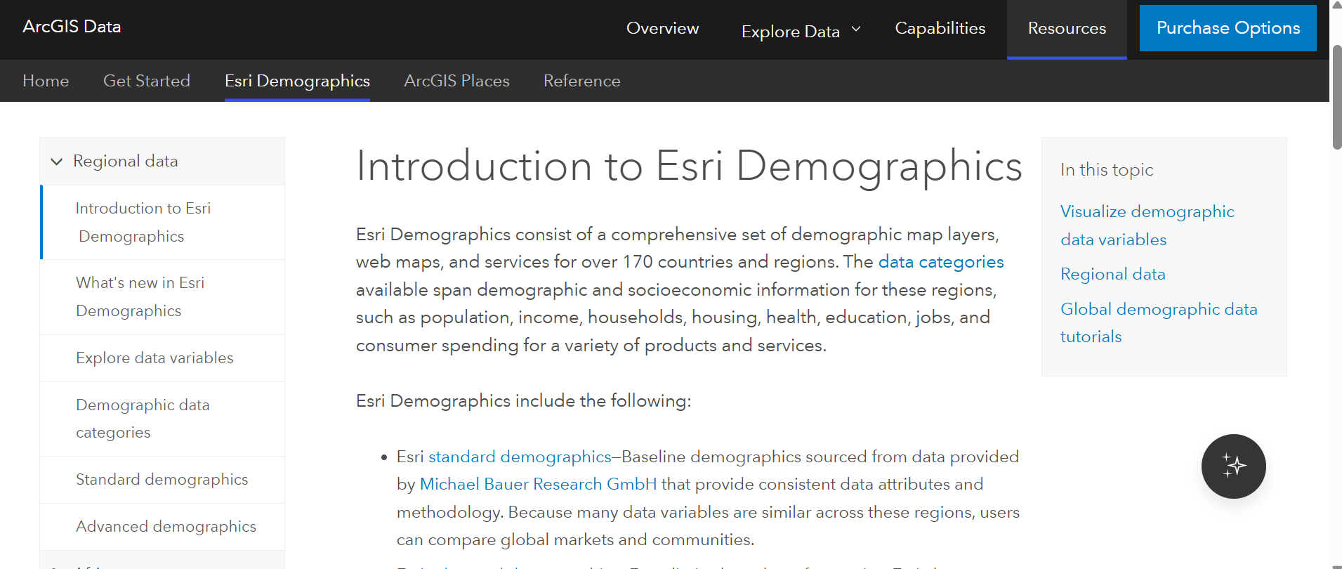
Understanding the people within your area of interest is essential for smarter planning, better analysis, and confident decision-making. Whether you’re evaluating market opportunities, planning community services, or supporting policy decisions, having access to reliable, up‑to‑date demographic data can make all the difference.
Esri Demographics provides ready-to-use data variables such as lifestyle demographics, business info, and traffic patterns curated by Esri’s own geographers, statisticians, and demographers. The data portfolio builds upon and enhances demographics data from the US Census and the American Community Survey. The Esri Demographics data portfolio consists of a comprehensive set of demographic map layers, web maps, and services for over 170 countries and regions. This robust offering includes a wide range of data sources, variables, and classifications, supported by comprehensive documentation. To make it easier to navigate, we’ve answered some frequently asked questions below.
Where can I find Esri Demographics Documentation?
Esri Demographics delivers curated population, housing, income, education, and consumer behavior data that helps organizations answer critical questions about who lives where and why it matters.
These datasets are designed to support a wide range of workflows, from spatial analysis and mapping to modeling, storytelling, and operational planning. With consistent geographic coverage, regular updates, and integration across the ArcGIS system, Esri Demographics makes it easier to turn raw data into actionable insight.
The documentation pages clearly outline the below:
- What datasets are available
- How demographic variables are structured
- What is new and has been recently released
- Where and how the data can be accessed across ArcGIS
Visit Esri’s Documentation pages
What is included within the Esri Demographics data portfolio?
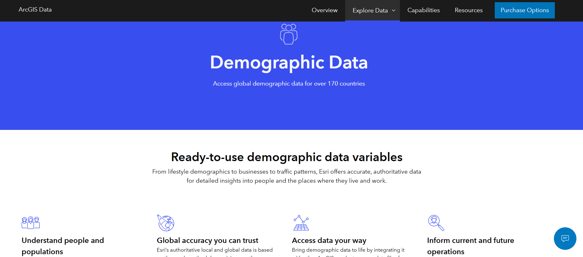
The Esri Demographic data portfolio provides a comprehensive portfolio of authoritative demographic and socioeconomic data which can make it challenging for users to decide which data set is needed for their work. The Esri Demographics webpage streamlines access to these datasets, enabling users to easily browse available data and purchase directly online.
This webpage helps users understand:
- What demographic variables are available
- How the data aligns with common business, planning, and policy use cases
- How demographic data can be combined with maps and analytics for deeper insight
Understand Esri’s Ready-to-use demographic data variables
Where can I learn about releases and uses cases for Esri Demographics?
Esri Demographics supports thousands of real‑world workflows across industries including retail, healthcare, government, real estate, public safety, and education. These data sets assist in identifying underserved communities, evaluating market demand or communicating equity outcomes.
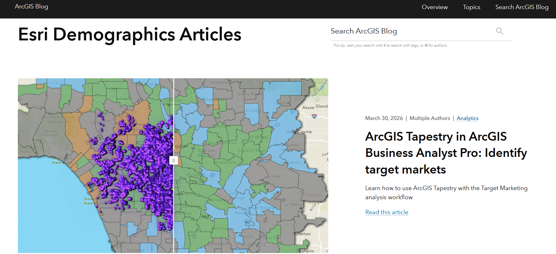
Our team of experts regularly publishes content that showcases a wide range of use cases while highlighting new enhancements.
The ArcGIS Blog frequently showcases:
- Release updates
- Practical use cases and stories
- Tips for applying demographic data in GIS workflows
- Insights into how organizations use demographics to support strategic decisions
These examples highlight how demographic data goes beyond charts and tables, bringing context and clarity to complex questions.
Explore Esri Demographic’s blogs
Are there resources that provide instruction on getting started with Esri Demographics?
Getting started with Esri Demographic data can seem intimidating at first, as the data sets provide several use cases. Esri’s data analysts have provided their expertise and developed Getting Started data guides to ensure organizations understand what is possible with this data portfolio.
These data guides highlight:
- Where the demographic data comes from
- How to access the data
- How to understand, interpret, and best use demographics
Access Esri Demographic data guides
What is Esri’s data methodology?
Data sources and methodology are extremely important when looking for authoritative data to incorporate into business decisions. Behind every Esri demographic variable is a documented, repeatable methodology designed to ensure accuracy, reliability, and consistency over time. For users who need deeper insight into how demographic estimates and projections are created, Esri provides detailed methodology documentation.
The Esri Demographics methodology includes:
- Data sources used in demographic modeling
- Estimation and projection techniques
- Assumptions and update cycles
Methodology transparency helps analysts, planners, and decisionmakers confidently use demographic data in reports, models, and public‑facing communications.
Learn about Esri’s data methodology
Does Esri have public demos I can watch?
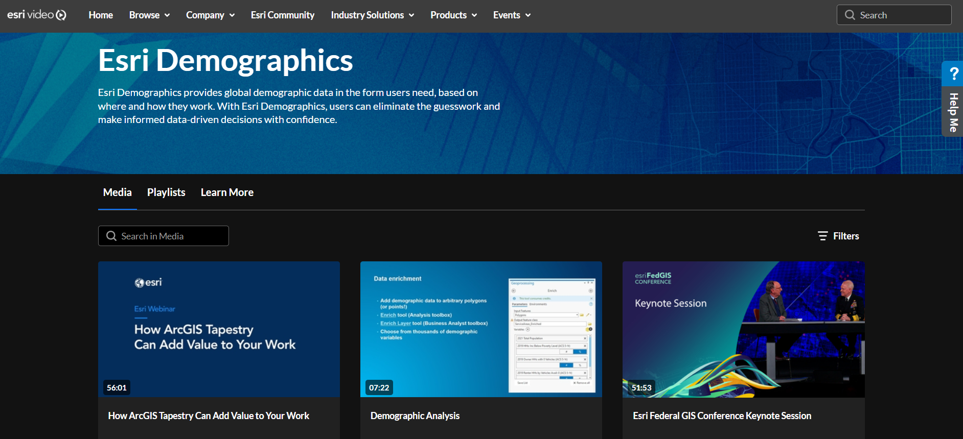
Reading is a great start to understanding the data portfolio and its various use cases. However, seeing the data in action takes your learning further by demonstrating how spatial analysis is applied through leveraging demographics data. Esri Demographics videos provide context to when the data sets should be used as well as how to add data into ArcGIS projects through data enrichment.
Esri Videos include:
- How ArcGIS Tapestry provides greater insights into your work
- Data enrichment tools that provide this analysis
- Best practices for the various data sets
How do I access Esri Demographics?
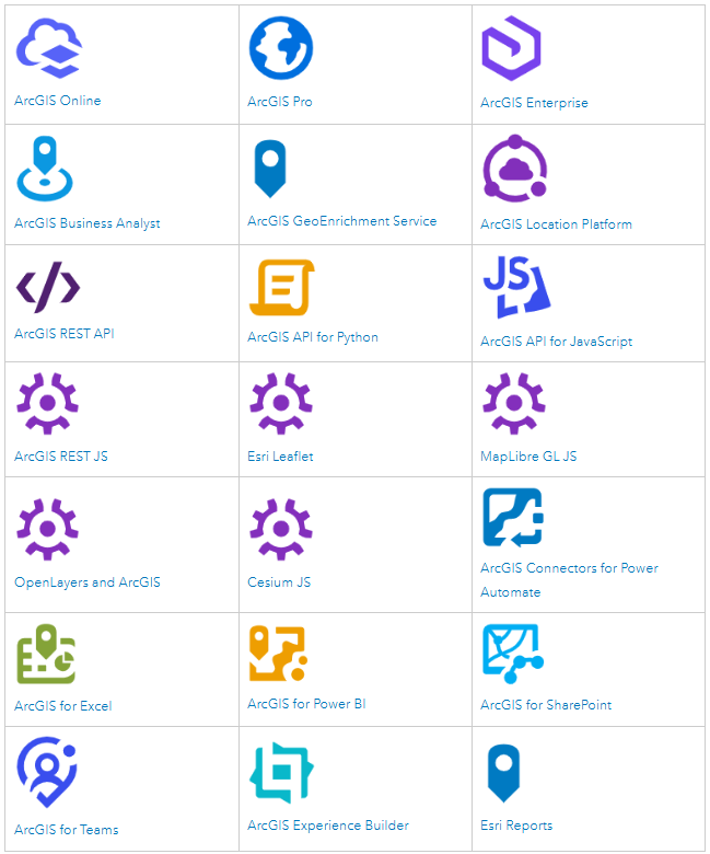
The Esri Demographics data portfolio has many use cases along with various types of users. This is significant as it determines how you access the data portfolio. Whether you are accessing the data to enrich your organizations’ dataset or are creating infographics with the data, there are resources every step of the way. Access resources below depending on how you are leveraging the data:
- Developers looking to leverage data within their products
- ArcGIS Business Analyst suite of products
- Esri Reports tailored for your specific needs
These are just a few ways to access Esri Demographics data, make sure to check out the full list via our documentation page.
Turning Demographic Data into Action
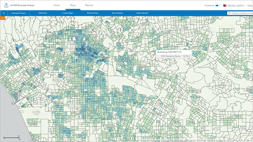
Esri Demographics is more than a dataset, it’s a foundation for understanding communities, markets, and trends through the lens of location. When paired with ArcGIS mapping and analytics capabilities, demographic data empowers organizations to:
- Identify patterns and disparities
- Plan services and investments more effectively
- Communicate insights clearly to stakeholders
Whether you’re just getting started or refining advanced workflows, the resources above provide the guidance, examples, and transparency needed to use demographic data with confidence.



Commenting is not enabled for this article.