As the redistricting process is well underway, take advantage of new features being released this month, including the ability to apply a plan color theme across multiple redistricting plans, comparing compactness metrics across multiple plans, and additional incarceration datasets. This month’s latest capabilities include enhancements and new capabilities to support the development and evaluation of balanced and fair redistricting plans.
Note: Esri Redistricting Enterprise users can request patch 2.36.5 to take advantage of the latest features and fixes.
We hope you enjoy the new tools and features. Be sure to check back for more updates!
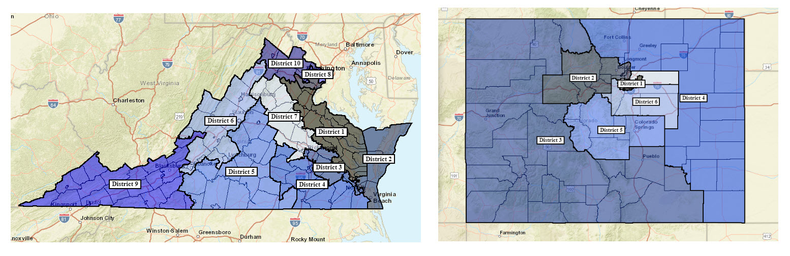
Apply a color theme
Reuse the color theme from one plan and import the colors to another plan. This can be helpful when creating a consistent appearance of district plans produced from your group or organization. The color theme is applied to the current plan based on color assignment according to district number from the import plan.
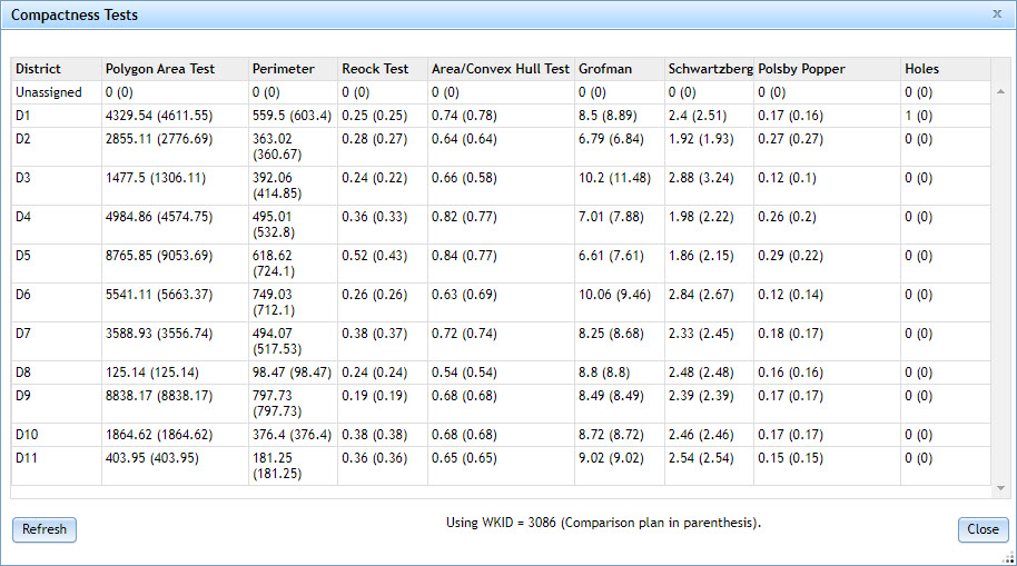
Compare compactness
When comparing two redistricting plans, the compactness test now shows you the compactness across the two plans. Compactness is a method that evaluates the minimum distance between all parts of a constituency, with the most compact districts forming either a circle, square, or a hexagon.
Esri Redistricting includes a number of compactness tests to evaluate a plan. Now you can compare the compactness measurements across two plans as another data point in your analysis.
Additional incarceration datasets
Esri Redistricting now includes additional datasets adjusted for the incarcerated population for the states of Maryland, New Jersey, and Washington, joining the previous incarcerated data for California and Virginia.
Traditionally, prisoners are counted as residents of the districts where they are incarcerated. However, several states have passed laws modifying their redistricting procedures for incarcerated persons, by allocating counts of incarcerated people to where they last lived before they were imprisoned.
The incarcerated datasets are adjusted at the state’s census block level so that you can perform redistricting based on data that reflects the correct populations in compliance with the state’s new apportionment procedures regarding incarcerated persons.
And more…
See the What’s New for a complete list of updates in this release.


Article Discussion: