Excalibur: Connecting Analysts with Imagery over the Web
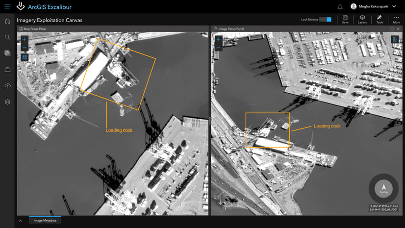
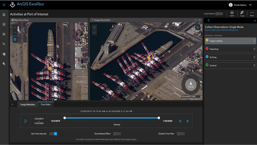
ArcGIS Excalibur, transforms the way analysts search, discover, and work with imagery—all in a web-based app. Excalibur modernizes and enhances image-based workflows by unifying traditionally separate geospatial and imagery-based views into a single integrated experience. With an easy-to-use, web-based experience that provides project-based analysis workflows that work on top of massive imagery libraries, Excalibur has the power to improve daily decision-making across industries from disaster support teams responding to wildfires to insurance analyst conducting virtual inspections of weather-related damages.
What’s New: Greater Access to Imagery with WMS
In this unprecedented time of mass remote work, organizations need more ways to discover and use diverse types of data served over the web in remote inspection, analysis, and discovery workflows. The latest release of ArcGIS Excalibur provides one-click access to Open Geospatial Consortium (OGC) Web Map Services (WMS), enabling analysts to add a common type of raster content services to their projects. For example, using publicly available WMS, insurance analysts can digitize areas impacted by weather, inspect rooftops for wind and hail damage, or verify the status of repairs. Excalibur’s web-based interface reduces travel requirements and saves logistical costs for adjusters.
Because of reduced in-person knowledge transfer, organizations also need tools to facilitate remote knowledge sharing and collaboration. Analysis captured as map features and annotations through imagery exploitation workflows in ArcGIS Excalibur can be shared as interactive layers in ArcGIS applications, like ArcGIS StoryMaps, or as reports in common office tools such as Microsoft PowerPoint.

Stay in the Know
ArcGIS Excalibur continues to transform imagery workflows through constant improvements in response to customer input and expanding capability of ArcGIS. Read more about new features and updates in ArcGIS Excalibur September 2020 release on ArcGIS Blog. To learn more about Excalibur and add it to your organization’s ArcGIS Enterprise deployment, get in touch with an Esri representative at go.esri.com/excalibur or visit our YouTube Playlist.


Commenting is not enabled for this article.