Megha is a Product Engineer based out of the Esri DC office. She focuses on writing documentation, product design, and testing.
Megha is a Product Engineer based out of the Esri DC office. She focuses on writing documentation, product design, and testing.
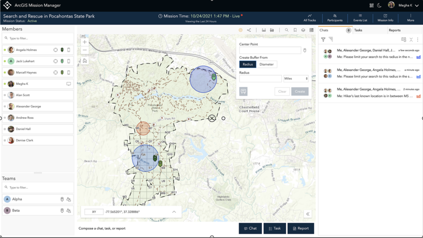
Walk through how a mission analyst uses the Proximity Tools to help Responders in the field locate a missing hiker.
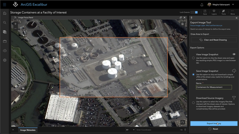
At the Nov. 2021 release, ArcGIS Excalibur introduces a new tool called the Export Image tool to export an image for use in downstream analysis.
We enhance the capability of reports by introducing the ability to create custom reports with different fields that apply to your mission
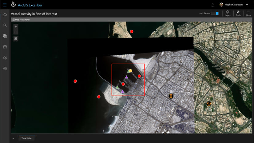
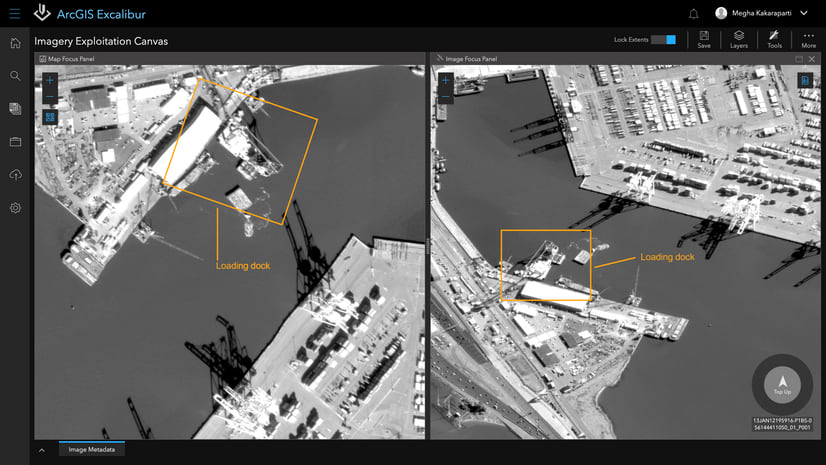
ArcGIS Excalibur has many capabilities for exploiting imagery to identify key observations or activity.
In the September 2020 release of ArcGIS Excalibur, you can automate imagery project creation with a python script.
Read about the September 2020 release of ArcGIS Excalibur!
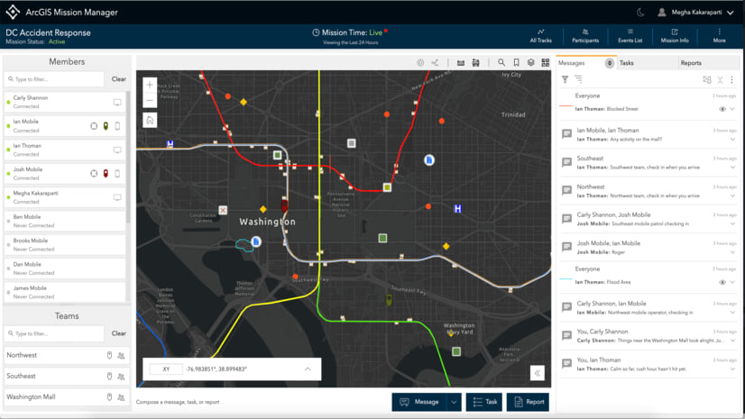
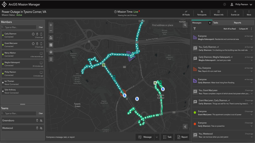
The new release of ArcGIS Mission 10.8.1 enhances mission management and mission response capabilities
Be the first to see what's coming in ArcGIS Mission 10.8.1!
With Esri’s 2020 User Conference, we want to tell you about some of the new features and enhancements in the latest ArcGIS Excalibur 2.0!